Burkina FasoMap
May I had always dreamed of going to Upper Volta one day. As it turns out, that’s exactly what Burkina Faso was called 30 years ago. As soon as you cross over the border from Niger, you begin to see the differences. First of all, Burkina Faso has lots of vegetation and the trees are tall. So the discarded plastic bags hang up high. 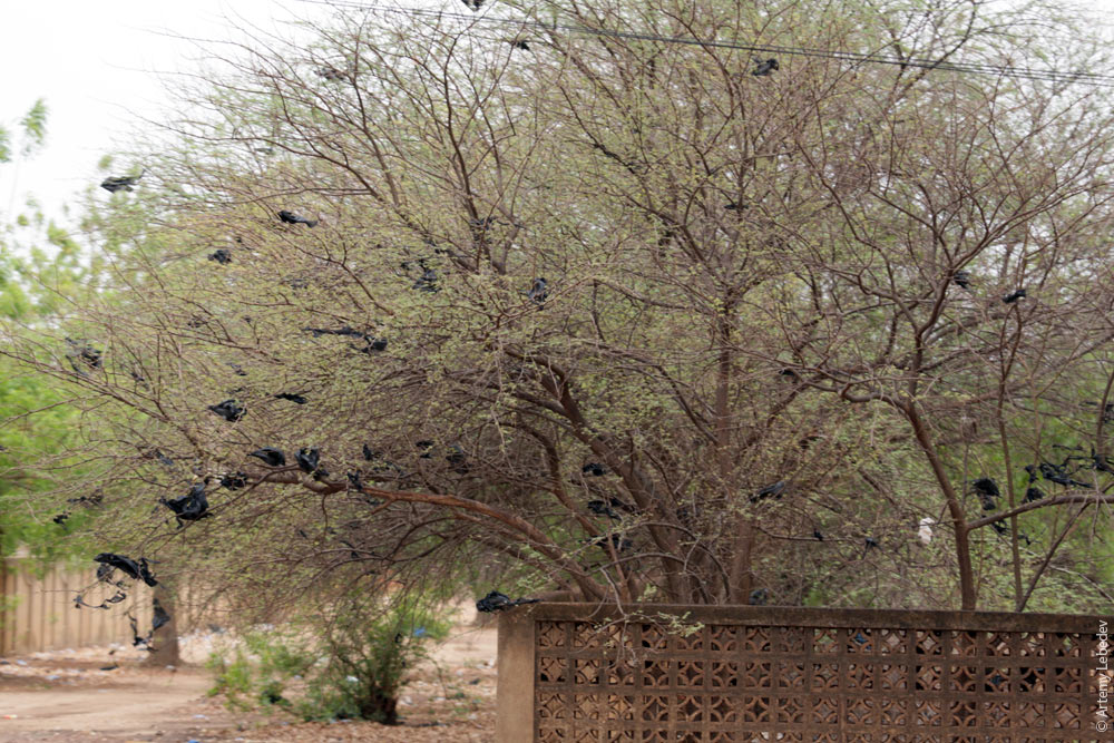 Second of all, the inhabitants of even the smallest, poorest village here have bicycles. 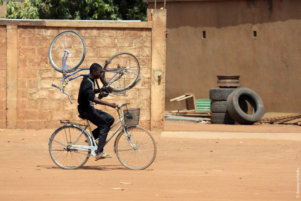 In the cities, people ride motorcycles. 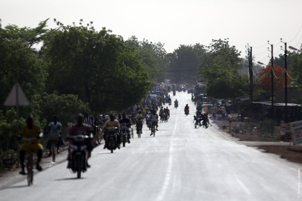 Third, the houses in every village are clustered into groups, each surrounded by a fence. 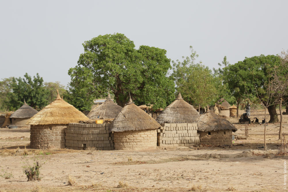 The granaries look like a set of matryoshka nesting dolls lined up next to one another. 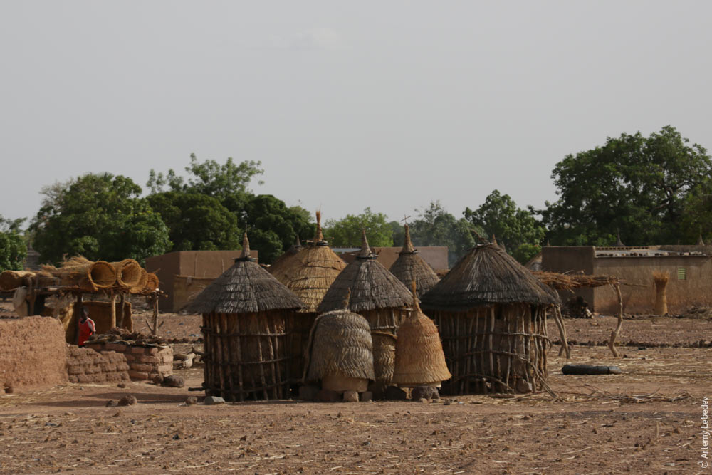 The most popular kind of teapots are plastic ones. People usually take these with them to the bathroom. 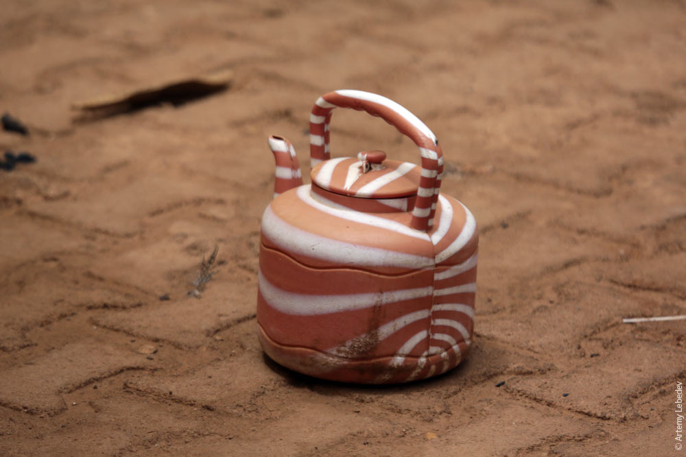 Women paint their eyebrows all the way to their ears. 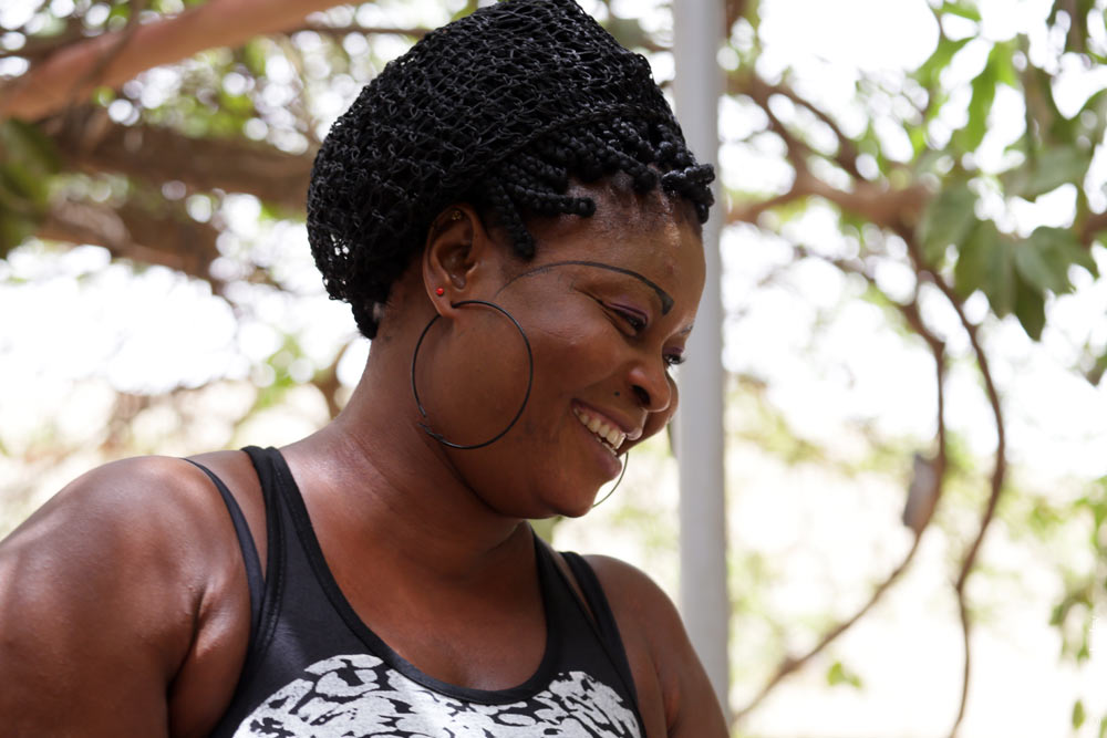 All the trees are neatly trimmed to a uniform level at the bottom, thanks to the goats. 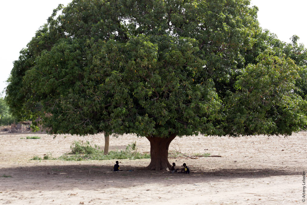 A fabric seller. 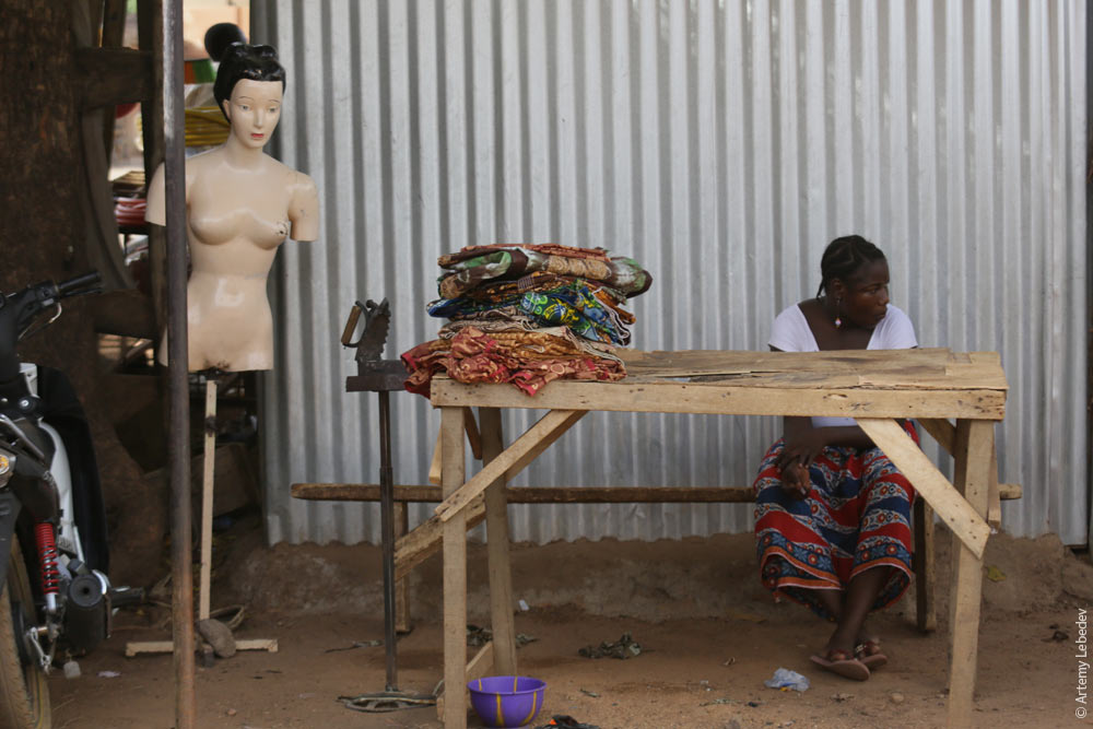 A banana seller. 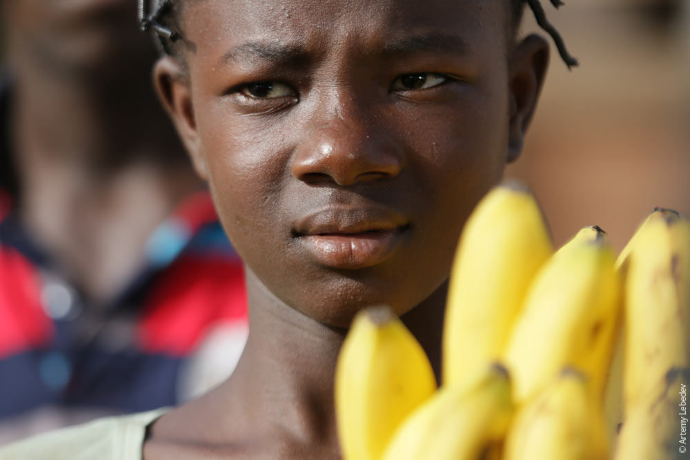 Women pounding grain. 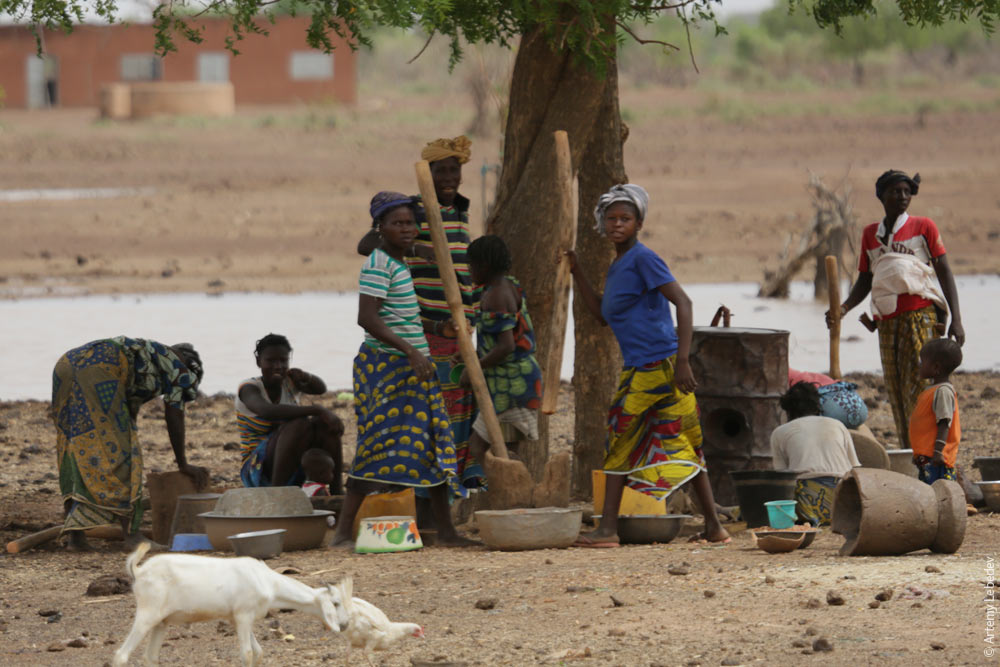 Water being drawn up from a well. 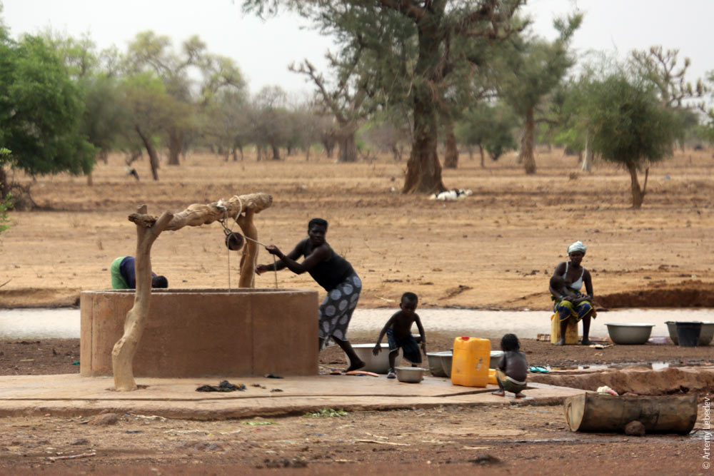 There are lots of baobabs here. 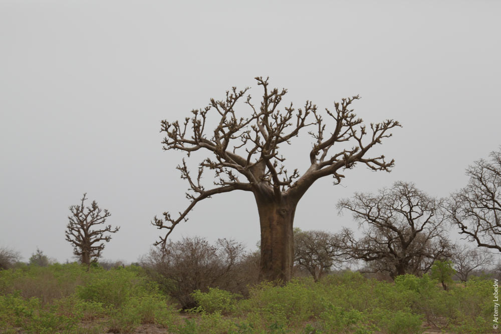 Information stands, common in many former French colonies, have particularly intricate shapes here. 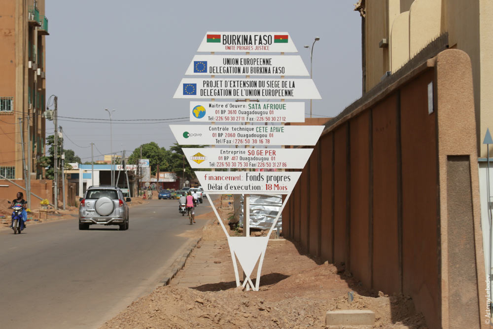 A license plate. 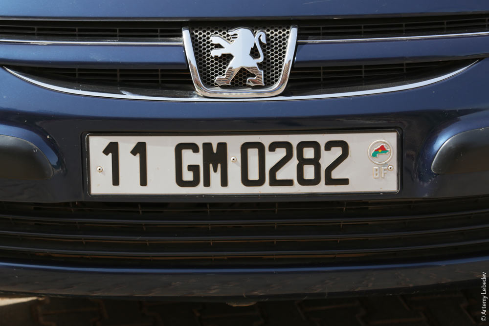 A magnificent Burkinabe digger. 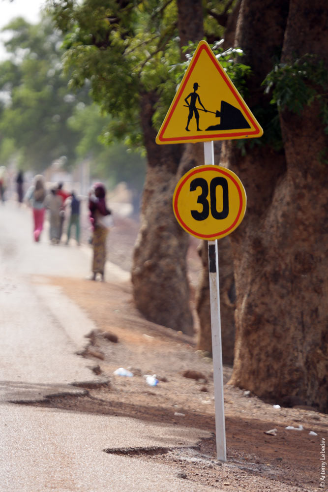 There’s a speed limit sign as you enter each town or village, and another sign indicating the end of that speed limit as you leave. 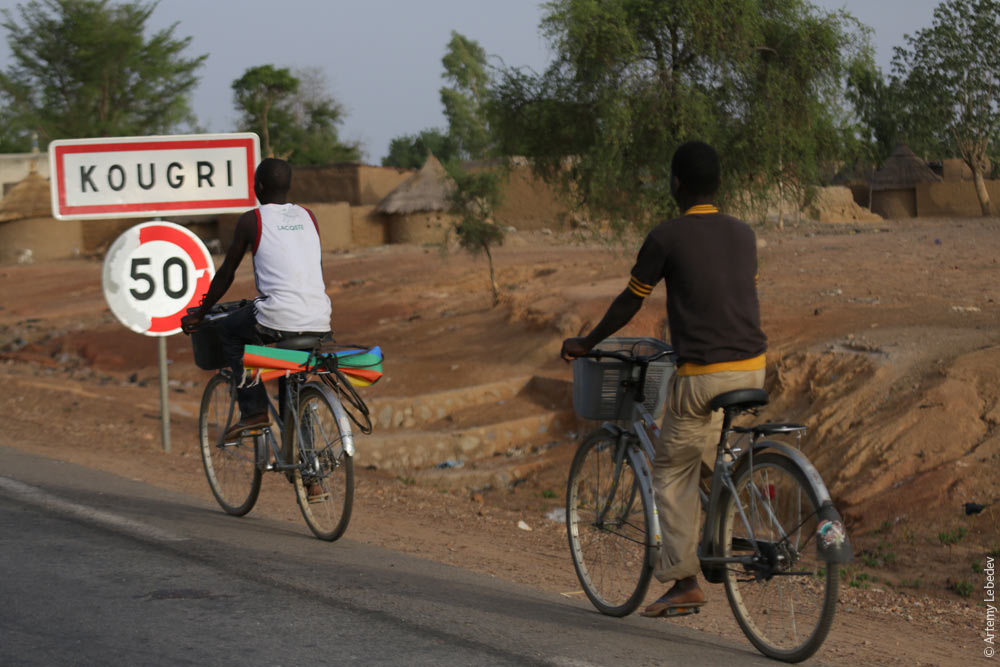 The number of post offices in the country is astounding—there’s one in literally every village. The reason for this is that the post offices also perform the role of banks. The side effect is that it’s very easy to get stamps. 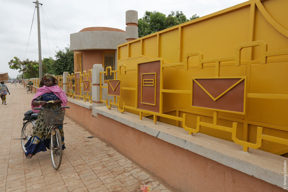 OuagadougouMapThe traffic lights are just like the ones in Lyon. 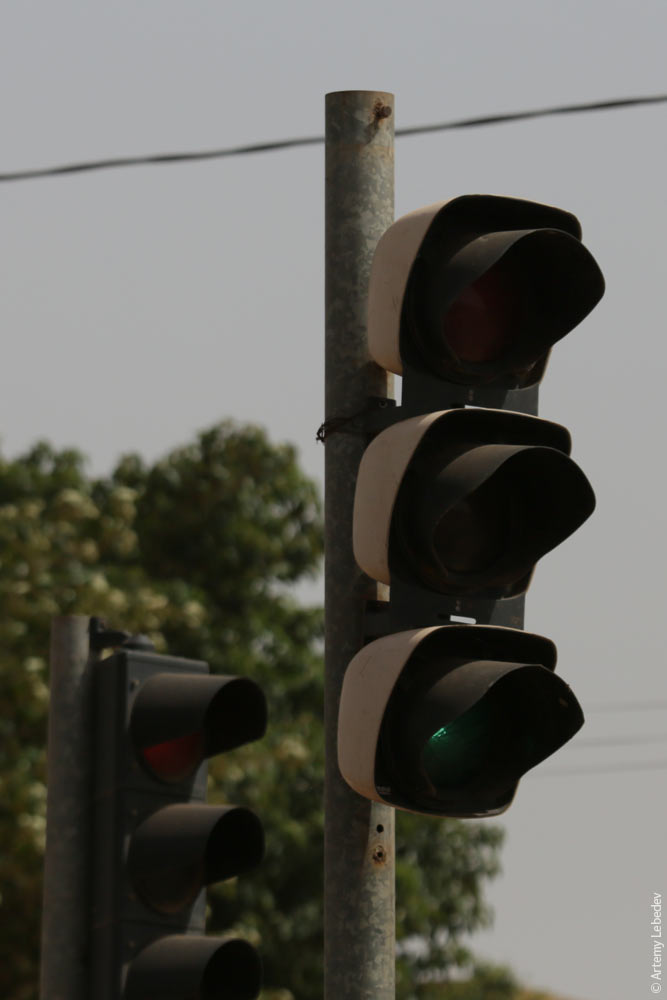
The utility poles made out of 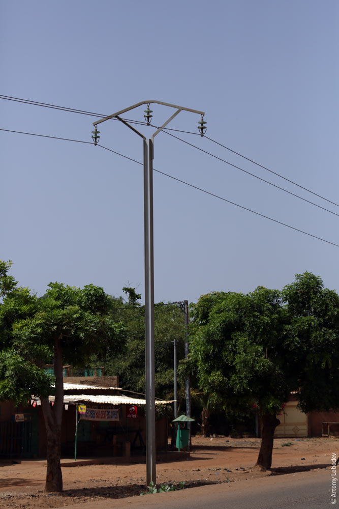 There haven’t been any actual ads on the billboards in quite some time. 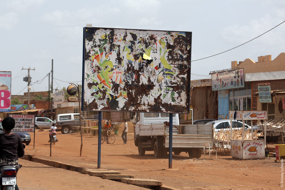 Handicapped people all use manually powered wheelchairs.  Pharmacy signs consist of crosses on posts with massive brackets. 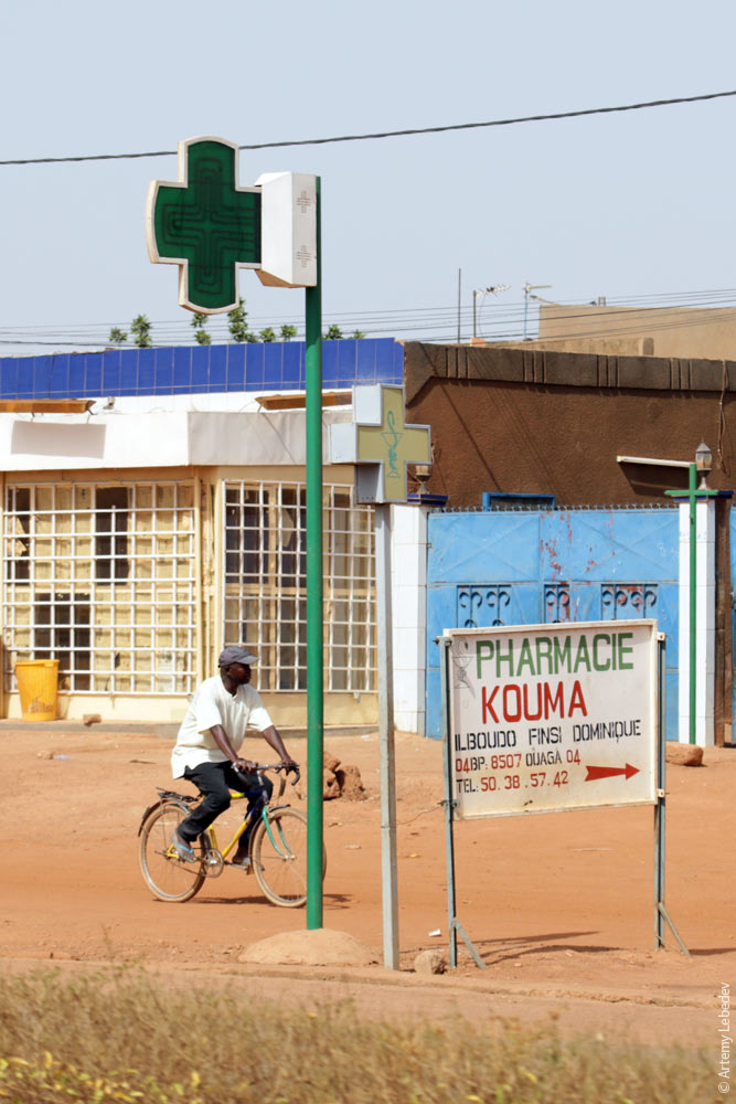 The taxis in the capital are green. 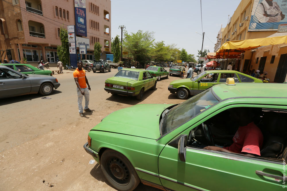 So are the trash cans. 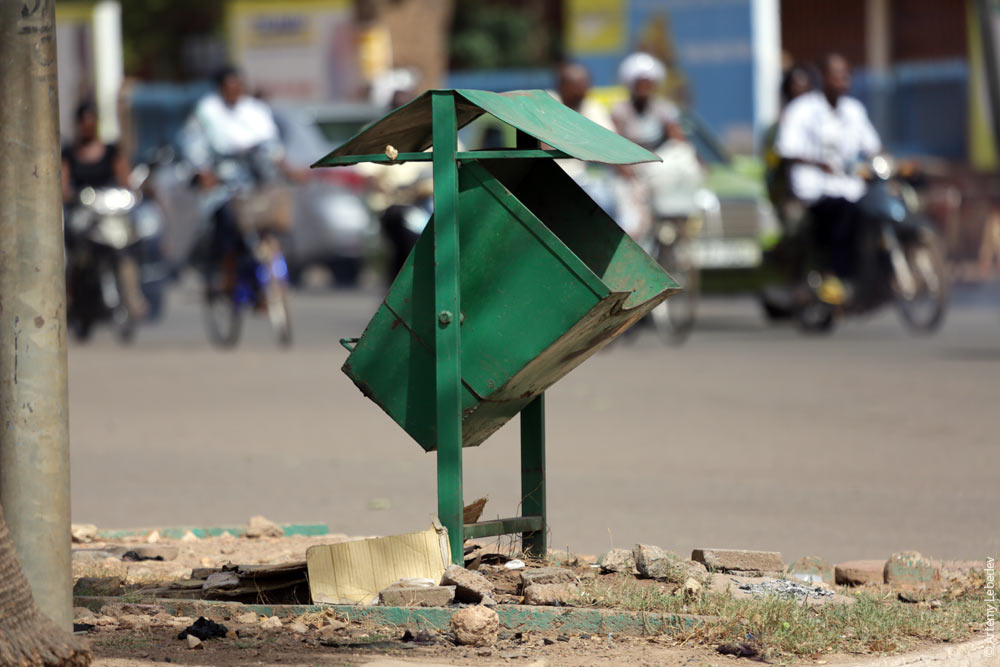 A payphone. 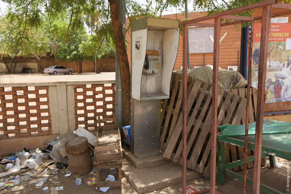 A bus stop sign. 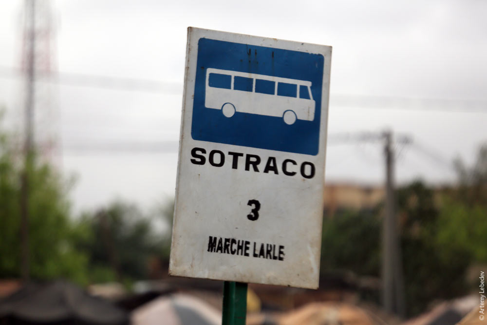 And there’s the bus stop itself. Half the bus shelters here are an excellent example of function being replaced by consequence—they’re advertising pillars with an awning big enough for two people. 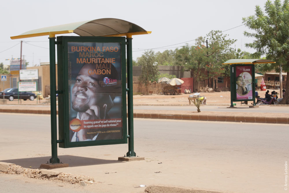 A stockpile of „no vehicles“ signs. 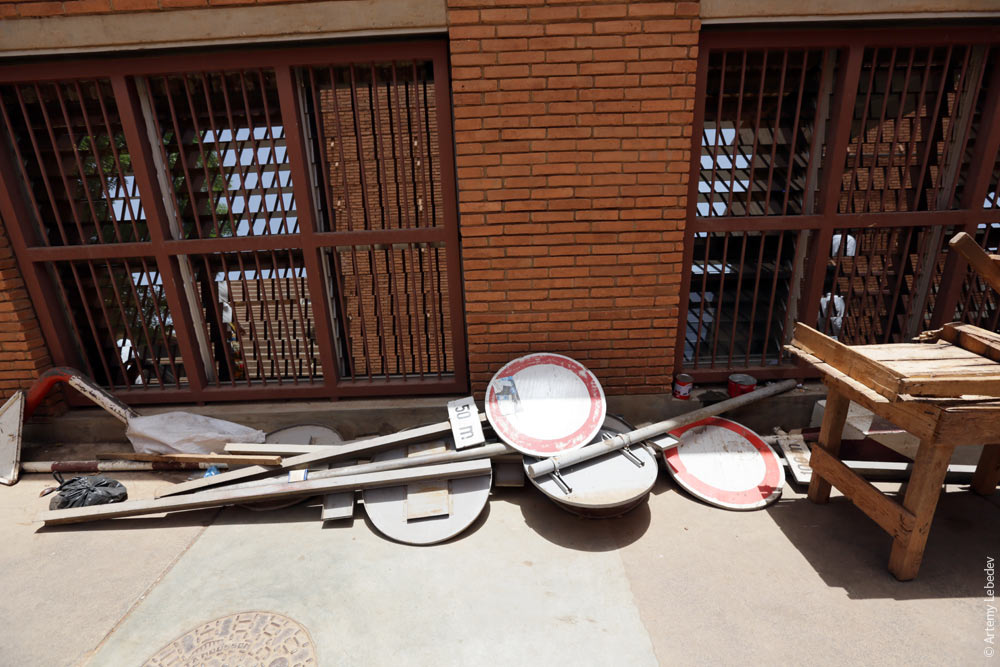 Trucks can only go straight. 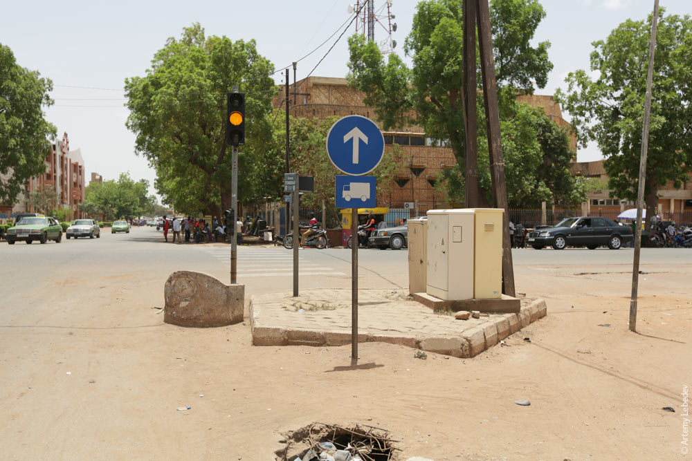 Signs before a highway entrance ramp. 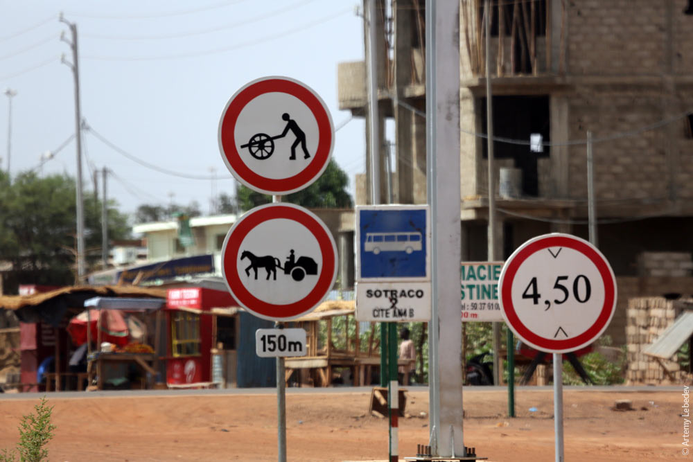 The highway. 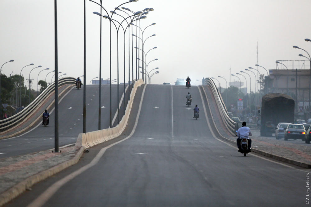 A small sandstorm. 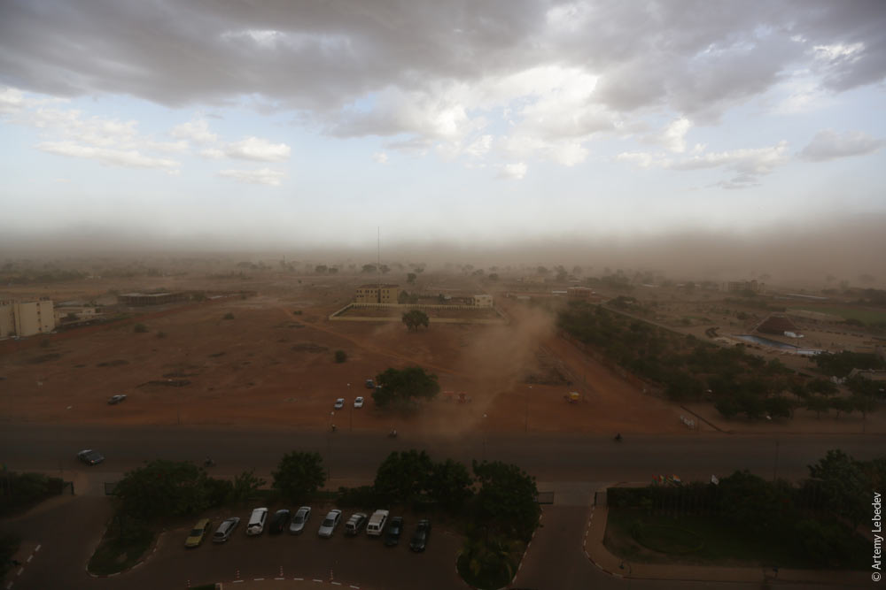 The street lights are equipped with solar panels. 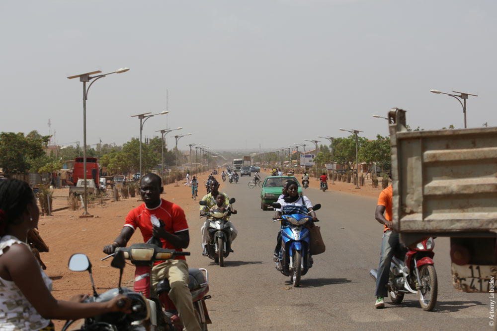 A monument to a blind person and his guide. 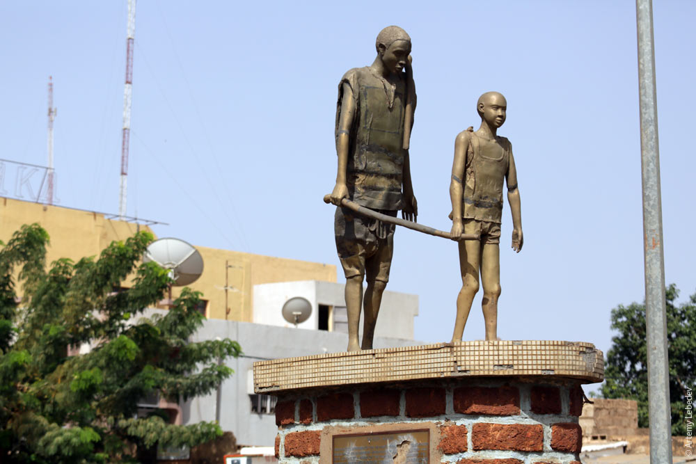 And indeed—that’s exactly how blind people are guided around. 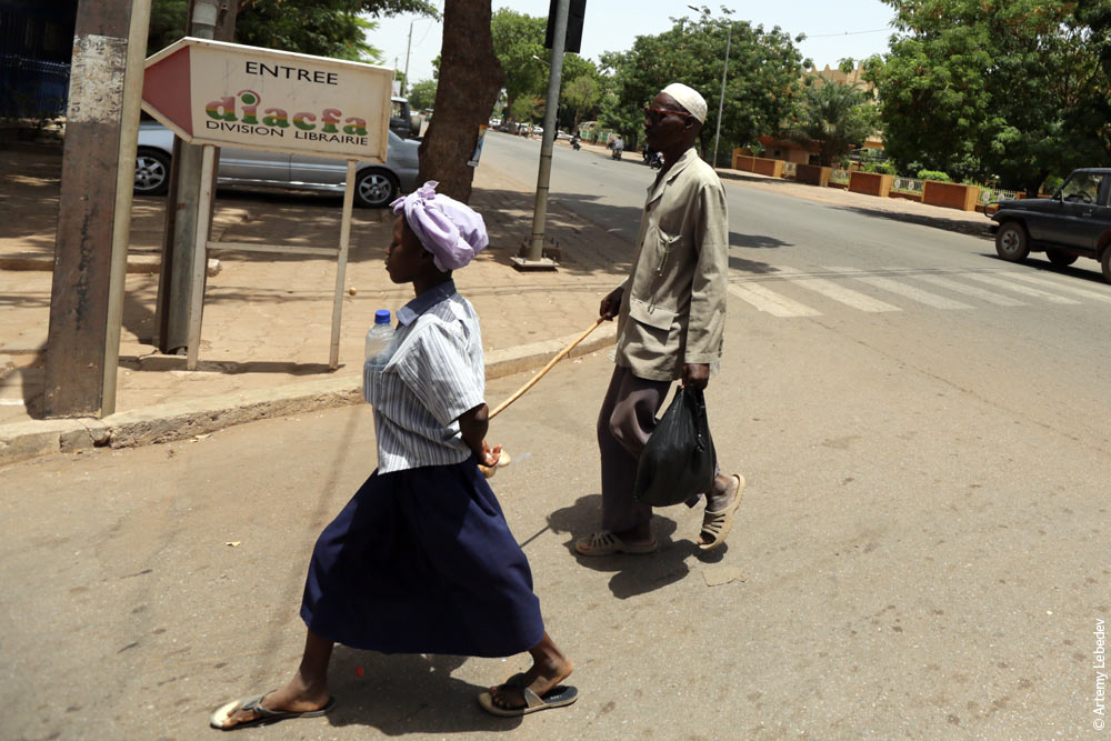 Downtown Ouagadougou has all the trappings of civilization. 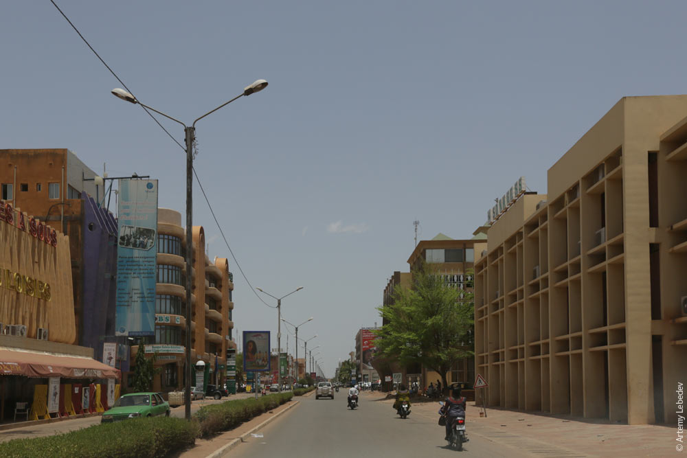 But once you get to the outskirts, of course, there’s no mistaking that you’re in Africa. 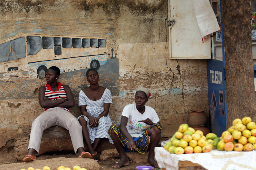 OuahigouyaMapA typical street in the city. 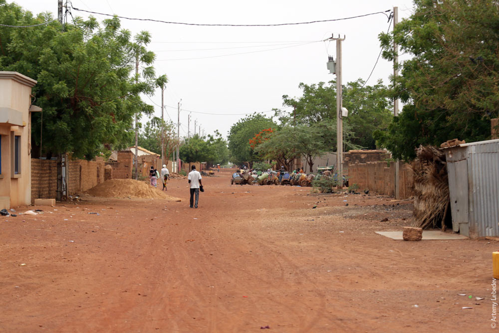 A fine sculpture of a horse. 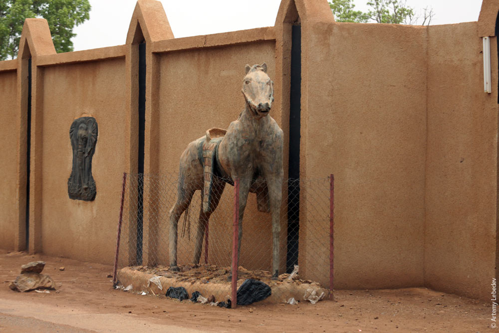 A billboard against arms trafficking. As always, it’s unclear whom exactly the ad is trying to address. 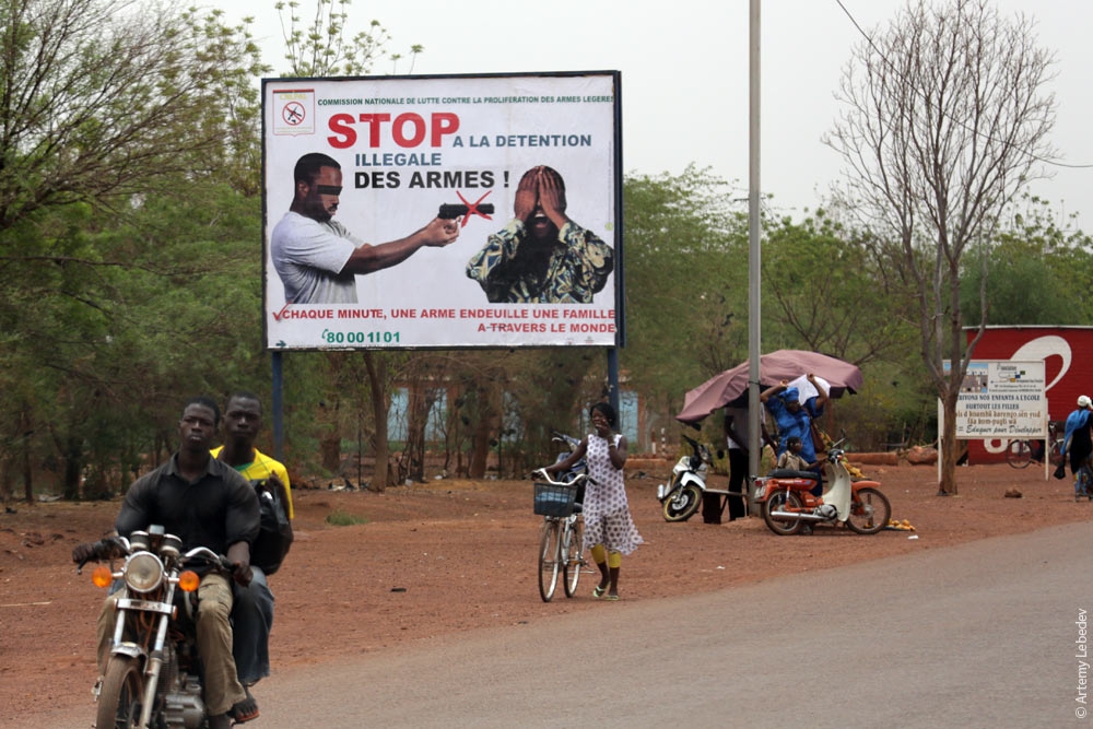 |