KiribatiMapJuly 9, 2014 Kiribati is a strange country. A paltry 33 atolls with a total land area of 811 square kilometers scattered over 3.5 million square kilometers of ocean. The republic’s government got tired of having a 24-hour time difference between its eastern and western parts, which meant that only four work days a week coincided for the two halves of the country. So Kiribati thought, to hell with the straight vertical line: 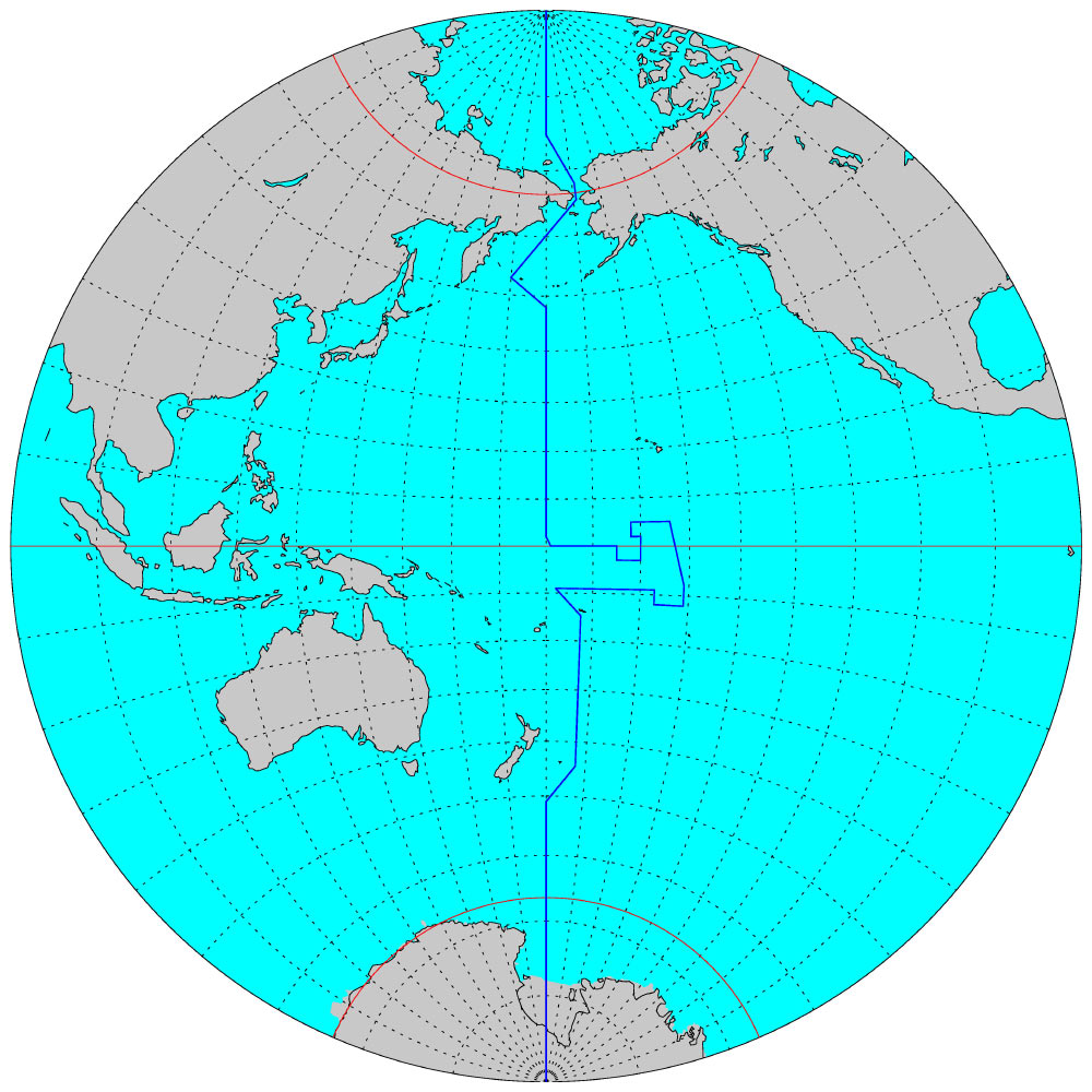 Curiously enough, many time zone maps ignore this lovely squiggle and continue to draw a straight line to this day. Early in the morning, my plane lands on the island of Kiritimati, the largest coral atoll in the world, which incidentally also accounts for four-fifths of the country’s total land area (642 square kilometers). 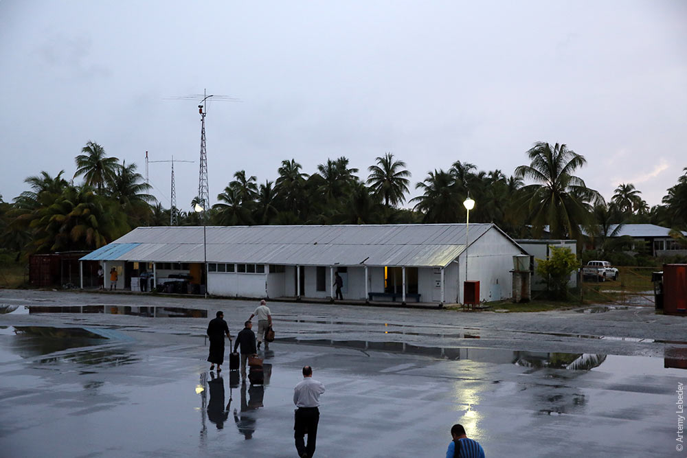 Passengers’ luggage is searched upon arrival here—a rare occurrence. They can’t afford an X-ray machine, so they search by hand. 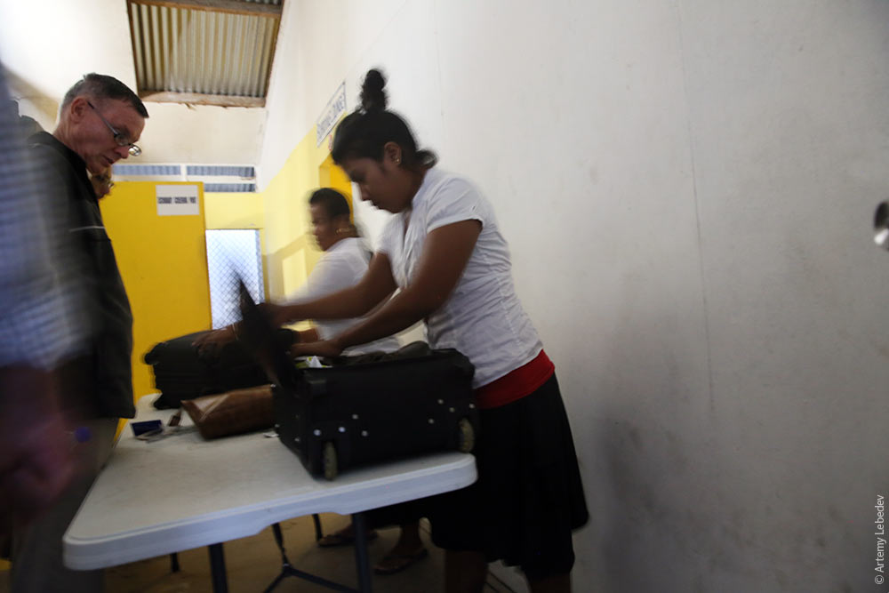 The island is chock-full of recognizable place names: London, Paris, Canada, Poland, Cook Island, etc. You can see Paris from London, but you have to drive about forty kilometers to get from one village to the other. 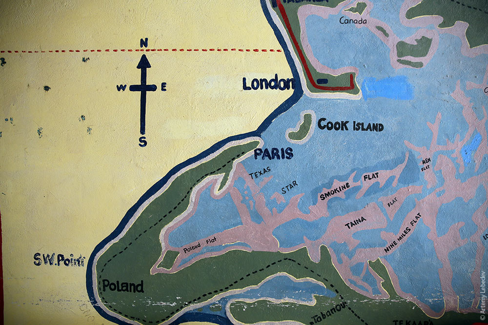 The people live poorly, but at least they can enjoy palm tree-studded views. 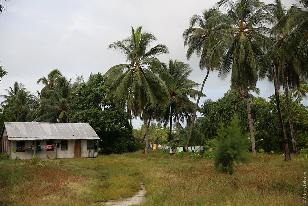 The houses vary depending on their owners’ level of relative wealth. Those with very little money fashion walls out of cloth or straw. 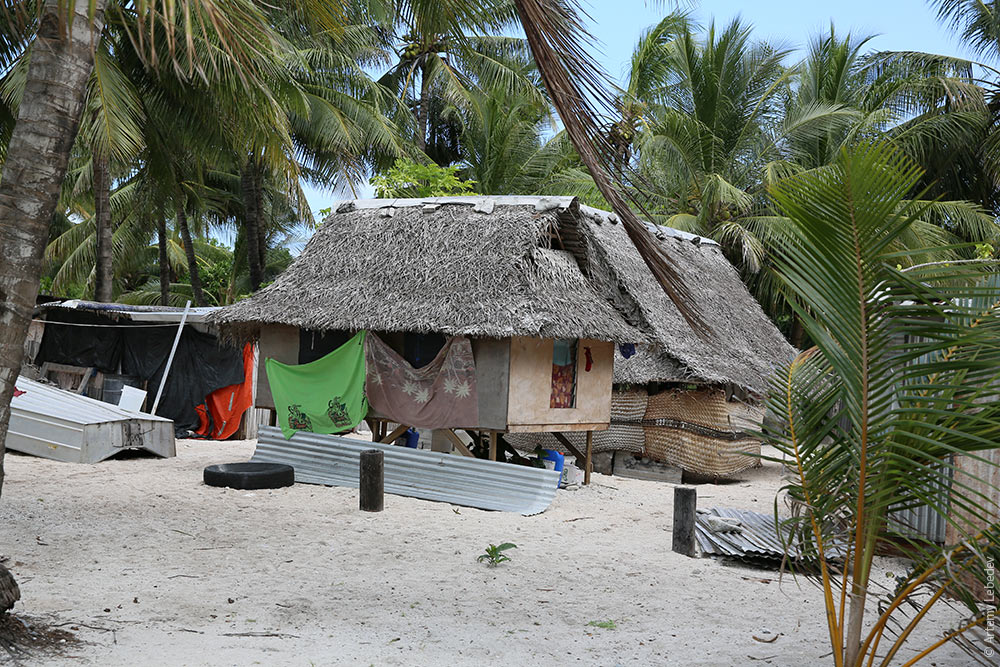 The next level is walls made of corrugated metal scraps. 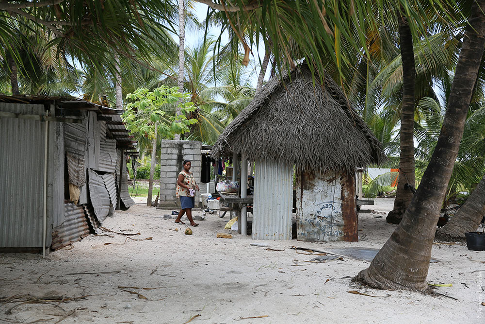 After that come buildings with a more or less defined shape and corrugated fiber cement roofs. These houses have distinctive windows, which open in a manner similar to gun ports on a sailing ship. 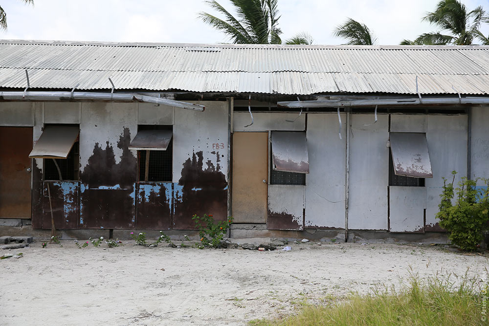 The sturdiest structures of all are government buildings, such as this post office. 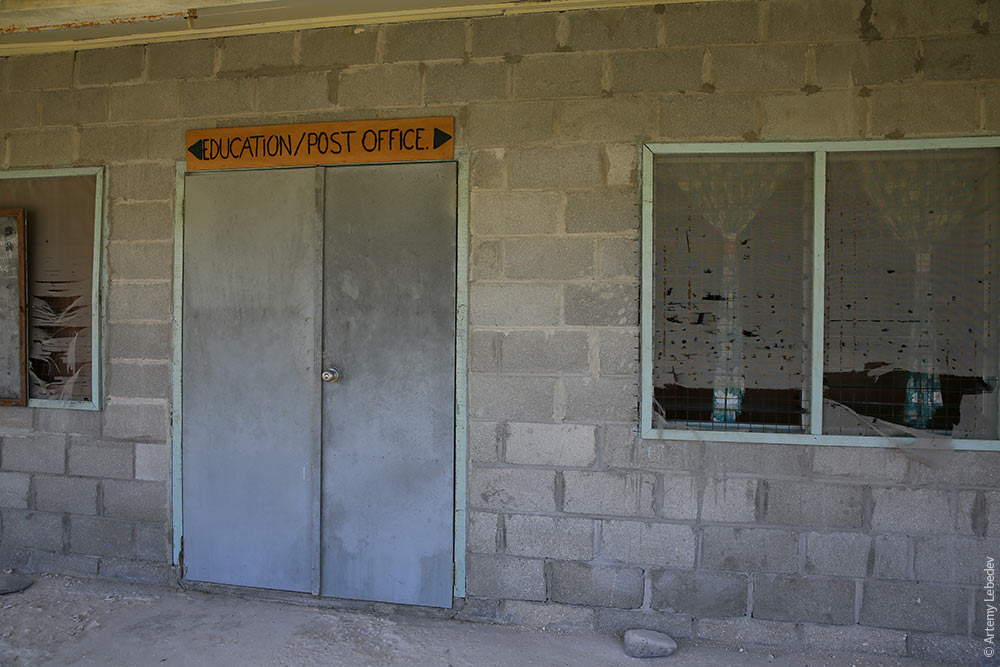 Generally speaking, a building on Kiribati doesn’t need any walls at all. That’s why all gathering places for large groups have only a roof (like in American Samoa). 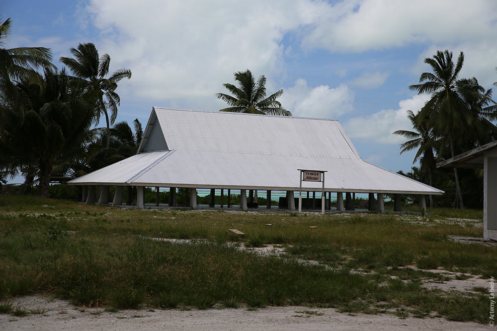 Here’s one of such festivities taking place right now. 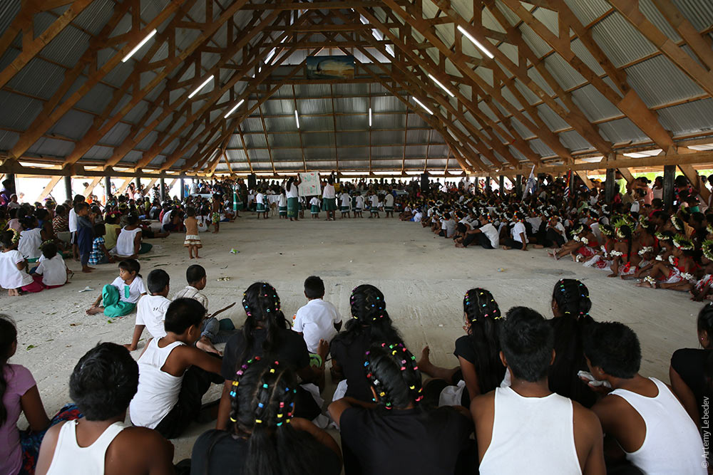 A girl. 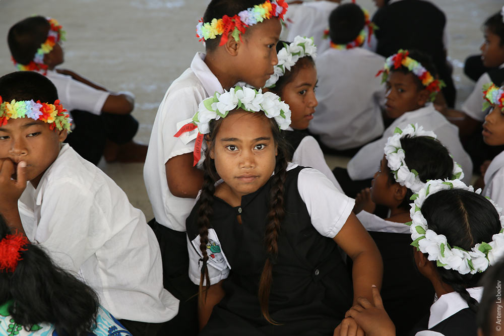 A teenager. 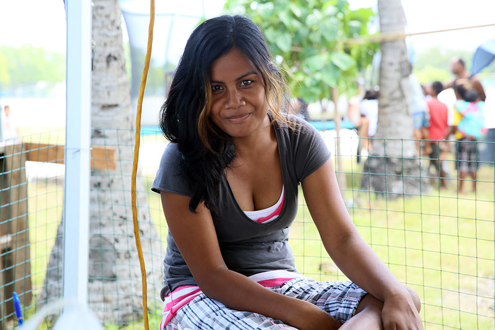 A woman. 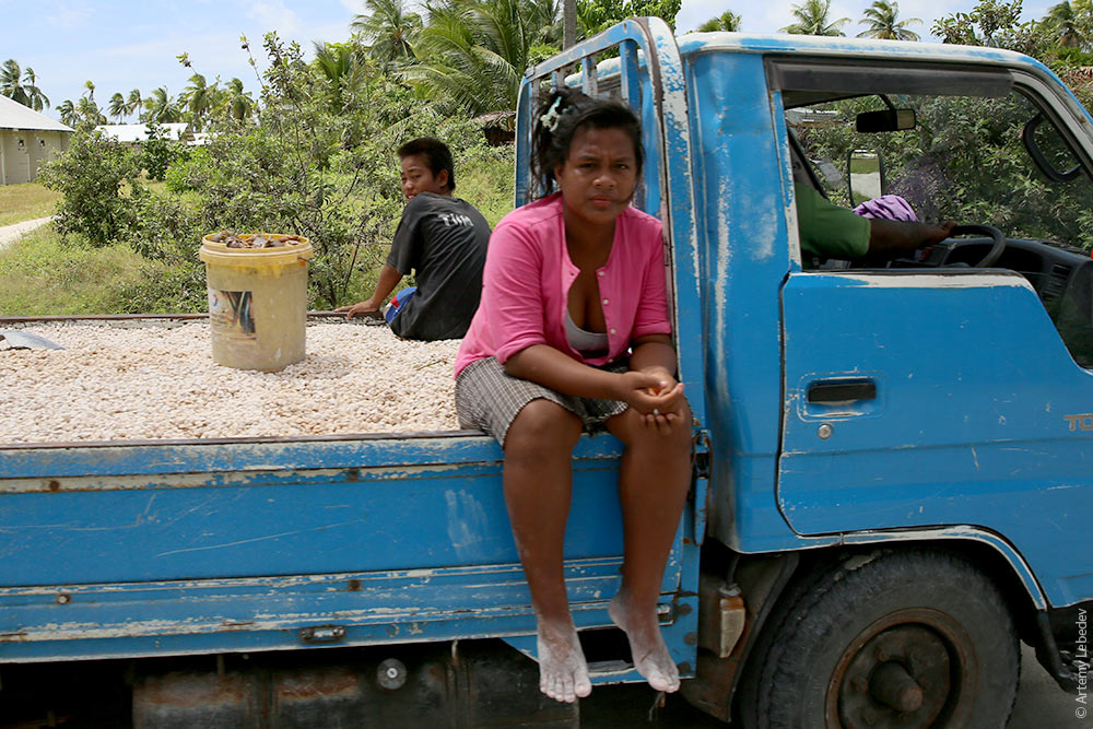 Three kinds of mimicry surprised me in Kiribati. The first is a red flower with yellow petals in the middle, creating the illusion of a flower with a yellow pistil. 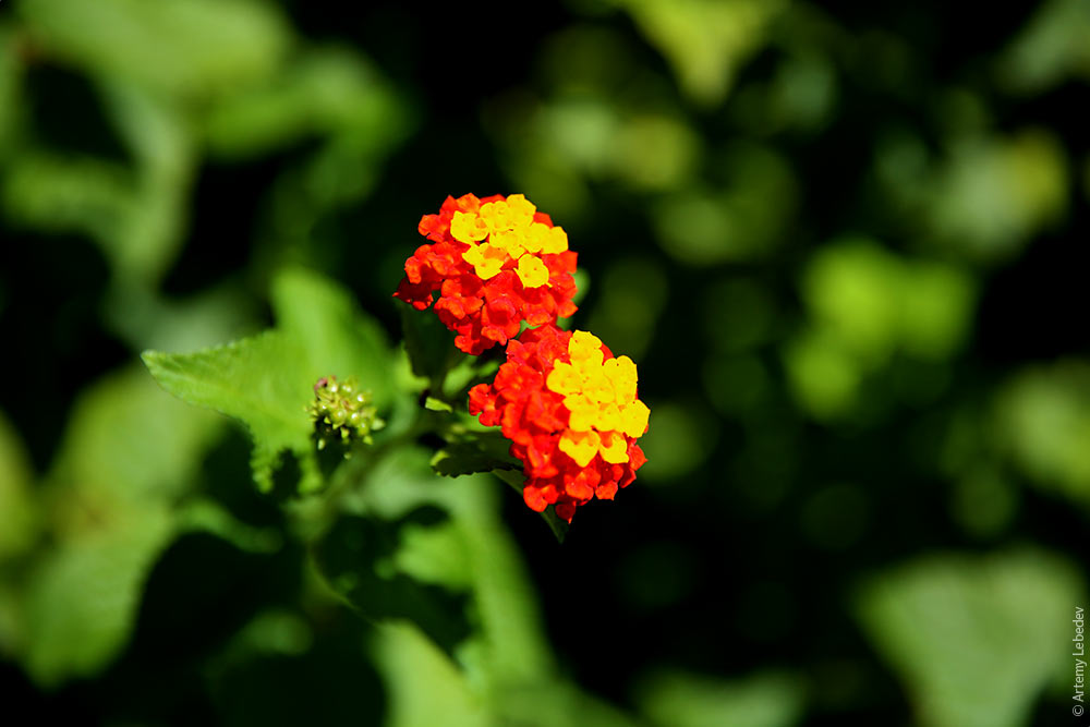 The second is a plant whose leaves turn red closer to the stem, creating the illusion of a flower. Apparently this was the only way to attract insects to the sad stamens. 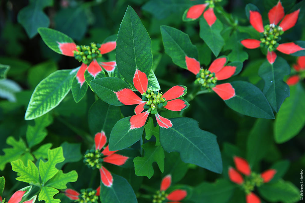 And the third kind of mimicry was observed in the island’s main village, London, on market day. This is a second-hand shop. All the clothing is simply dumped in a pile on the ground; customers crawl through it and dig out what they like. It’s impossible to tell the shoppers apart from the merchandise. 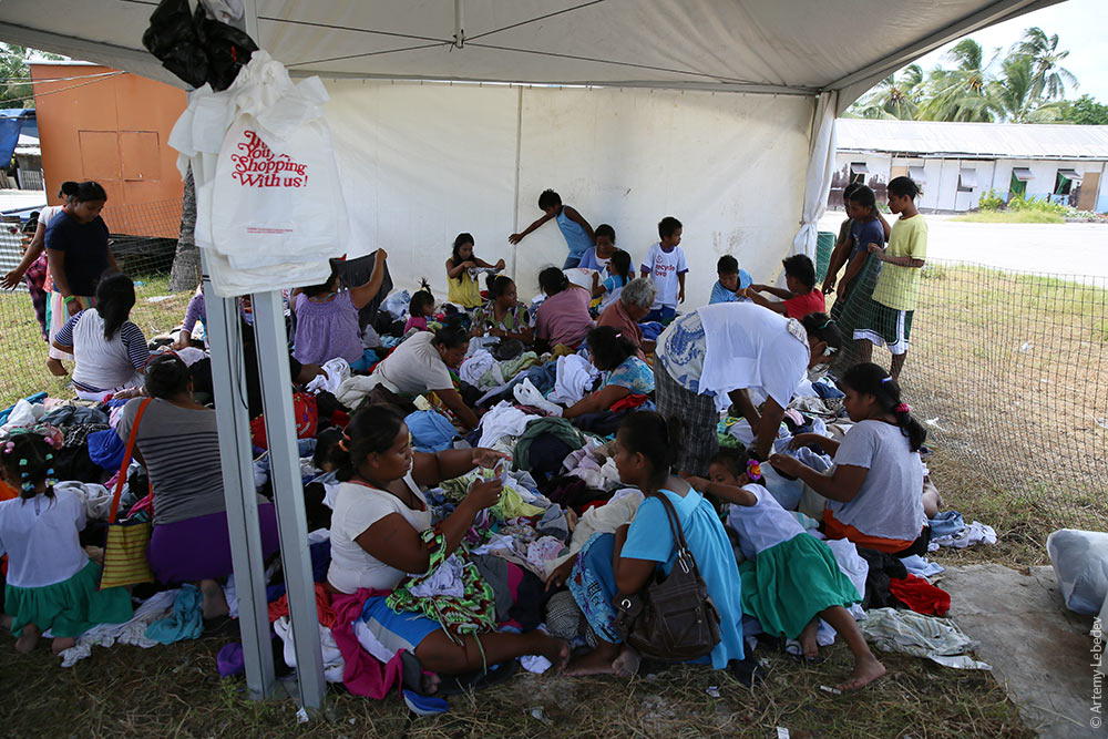 A license plate. 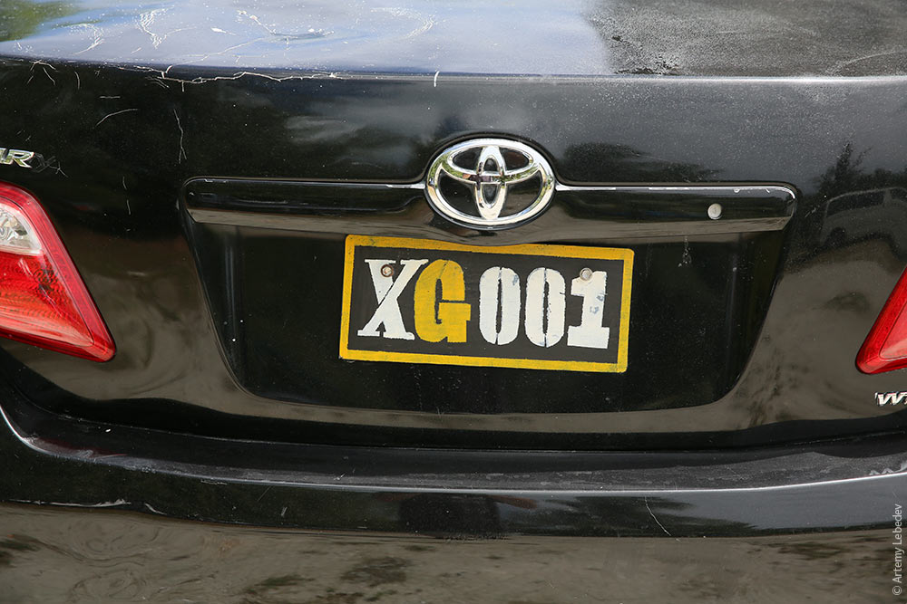 A traffic sign. 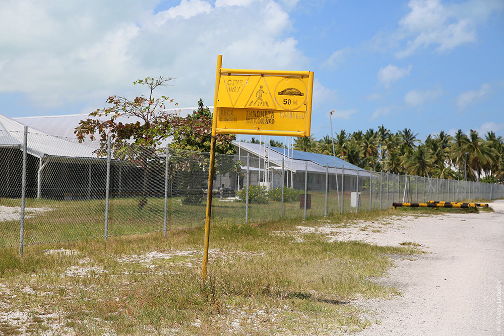 The main road. 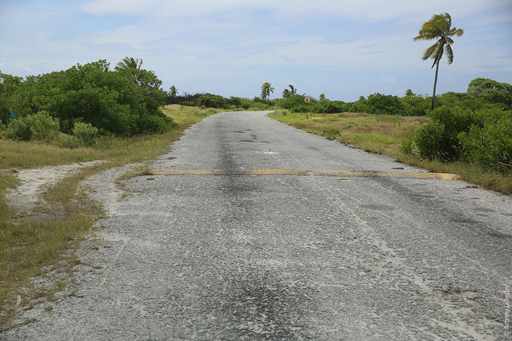 A secondary road. 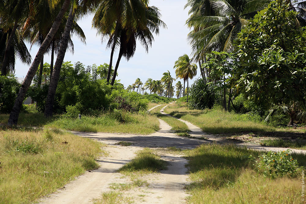 The local cemetery is interesting. Three dates are listed on each headstone: birth, death and burial. 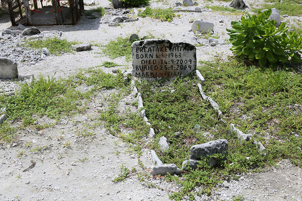 Poor people simply have a rectangle laid out with stones from the beach. 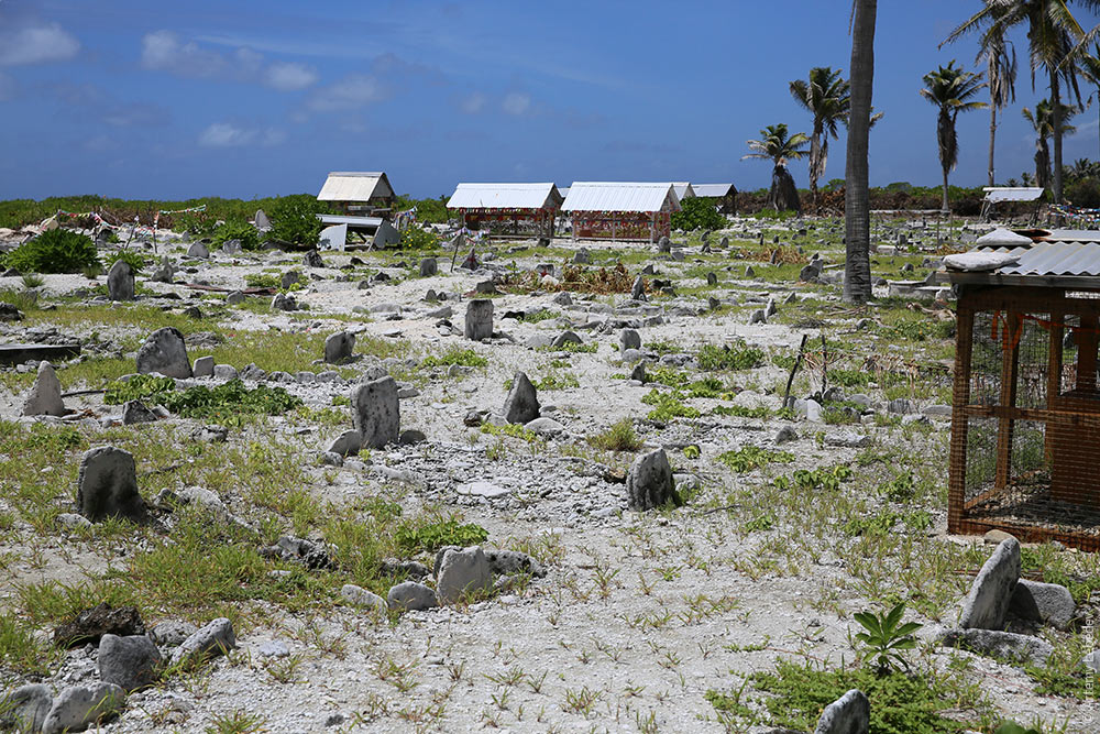 Wealthy people have an airy gazebo. 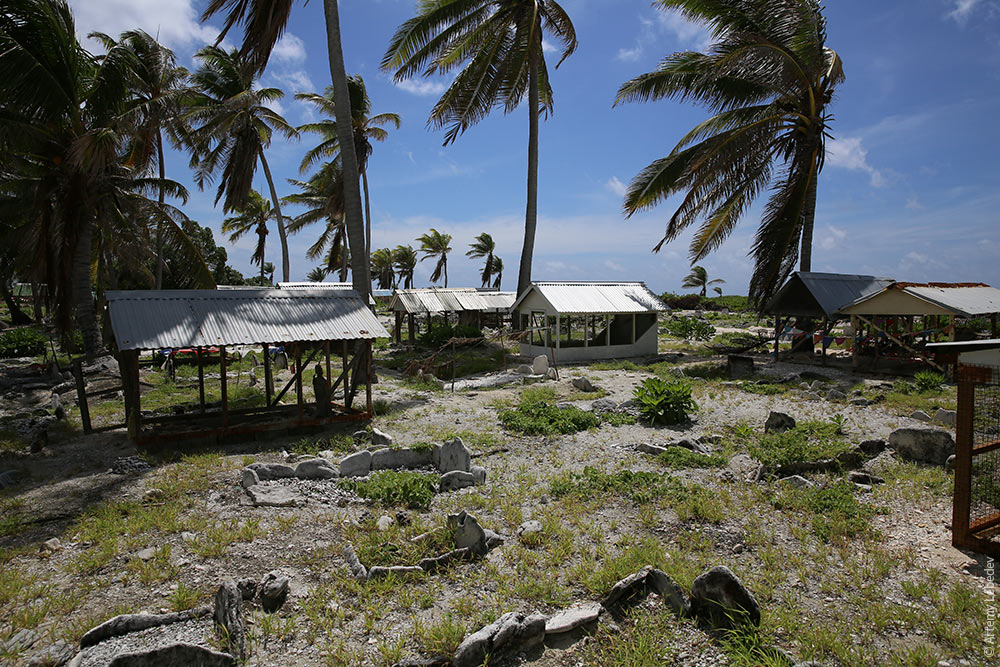 There are big mesh containers for aluminum can disposal in some places. 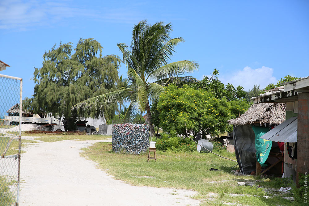 A crab farm. 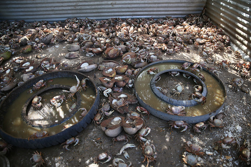 It’s time to continue onwards. 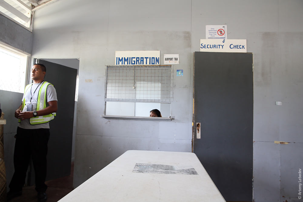 The waiting area at the airport. 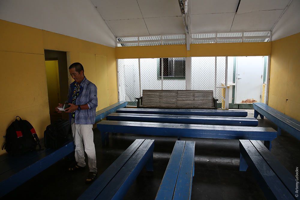 The airplane gains altitude. 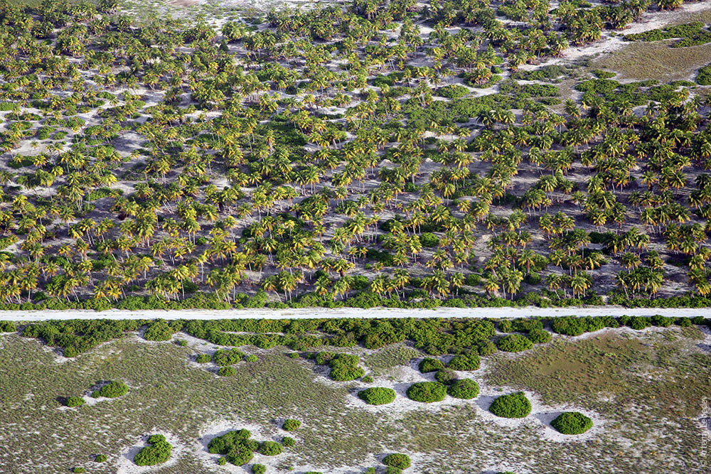 Climbing higher and higher. 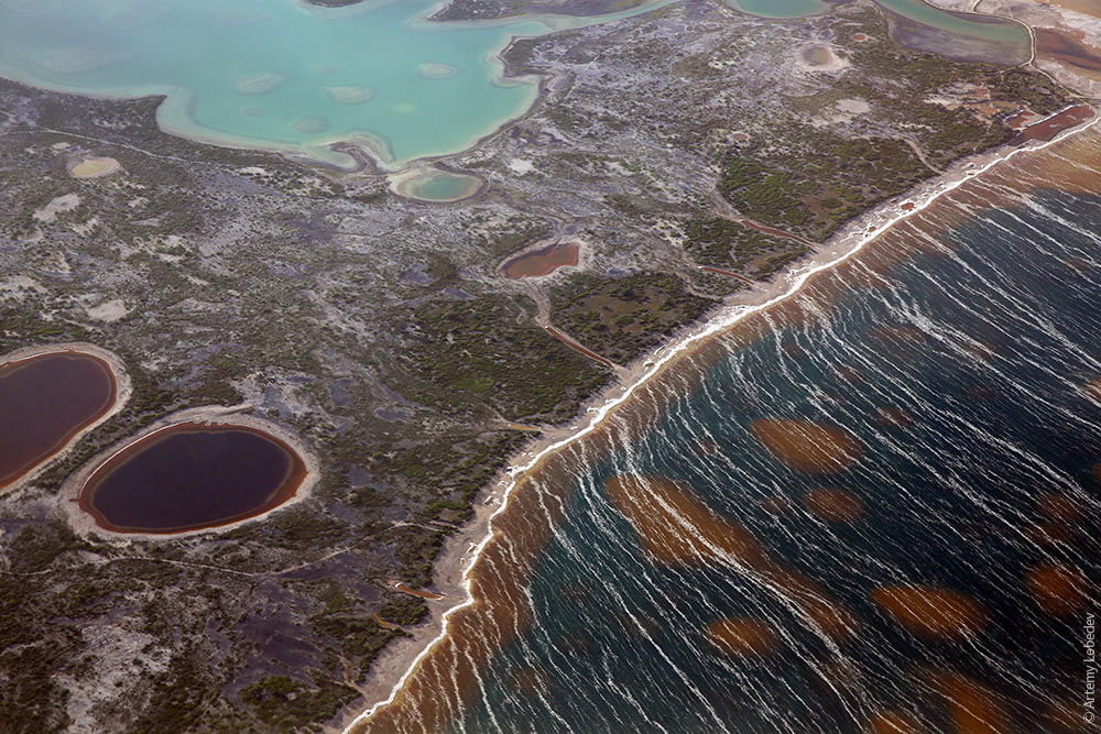 Leaving Kiribati, the most useless country in the world, down below. 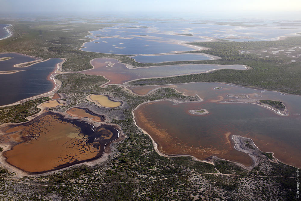 |