New CaledoniaMapJuly 5–7, 2014 Another French overseas territory (like Wallis and Futuna or Mayotte).  Ubiquitous baguettes are a dead giveaway of a territory’s Frenchness. Thankfully, they aren’t sold wrapped in plastic here. 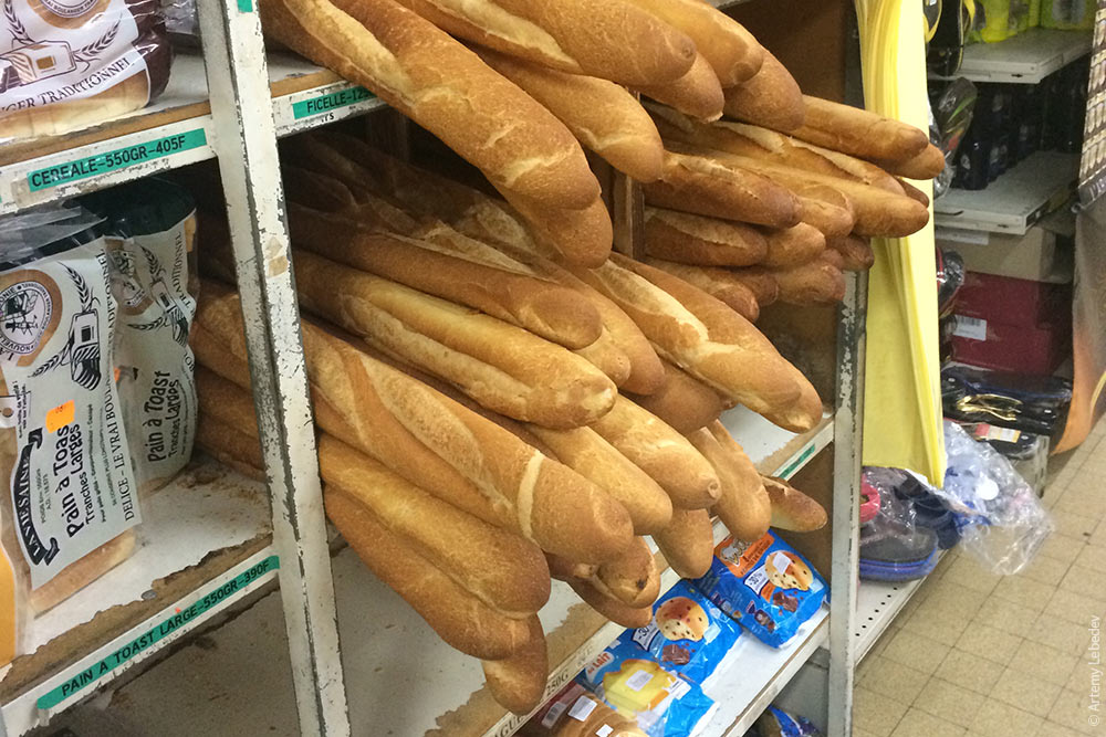 New Caledonia is thinking about becoming independent, but keeps failing to get the required majority at a referendum. The post boxes are completely French, albeit with the local postal logo. 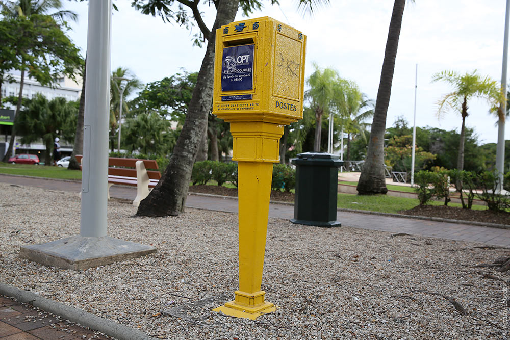 Opposing lanes are a different length on the road signs. This is fantastic. 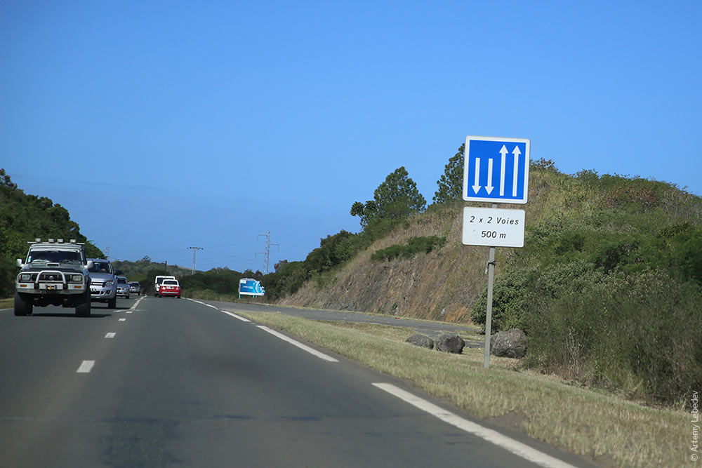 Windshield stickers. 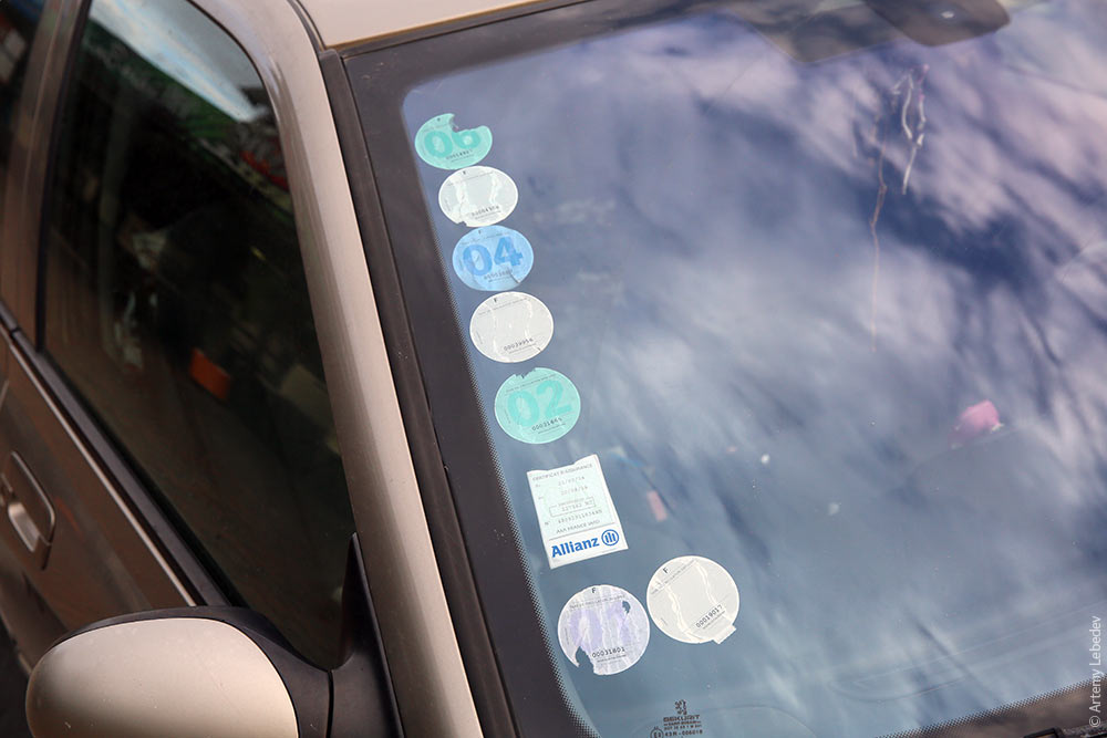 A license plate. 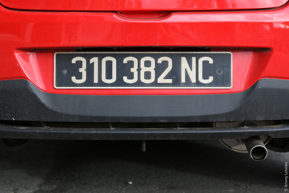 NouméaMapThe capital isn’t all that exciting. 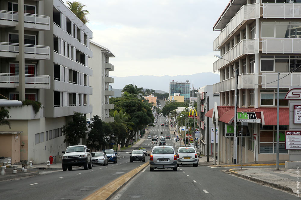 Although it’s topographically varied and hilly. 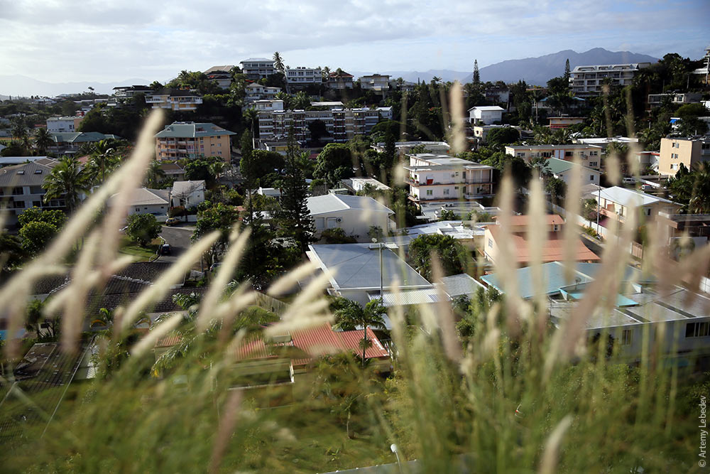 A pedestrian crosswalk. 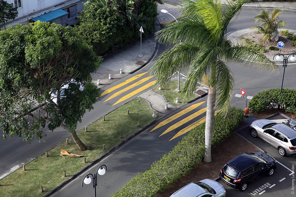 Local residents. 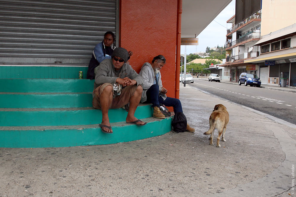 Other local residents.  A monument to a chained leg. 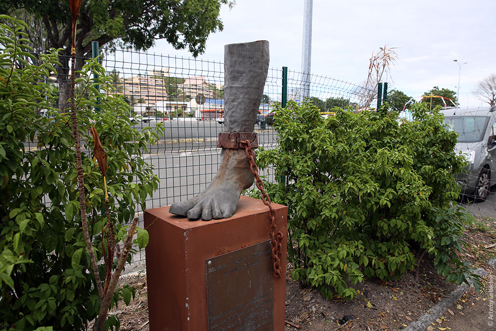 A tree. 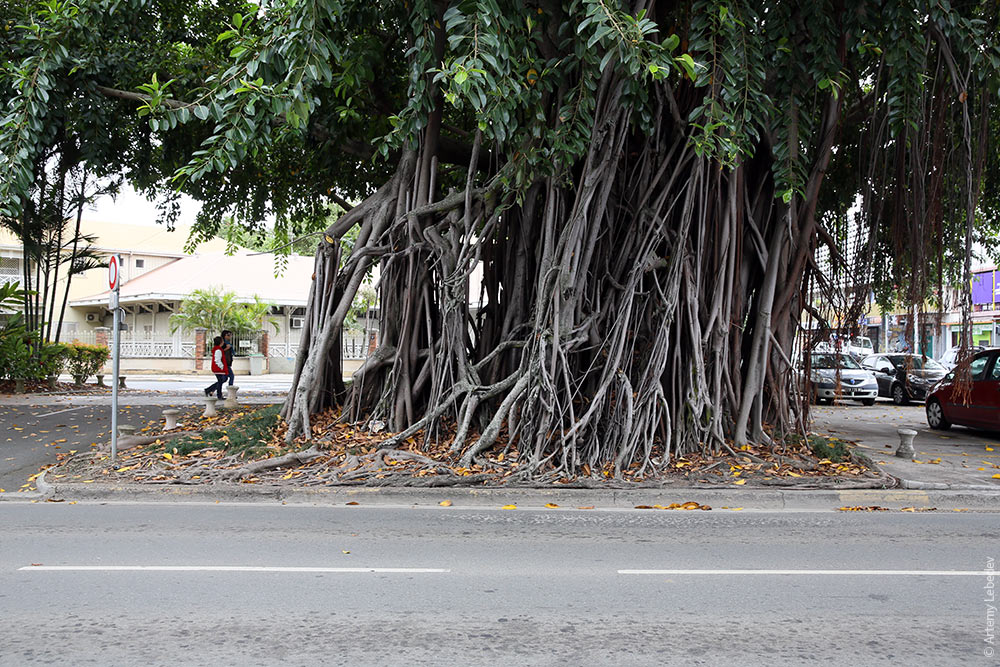 The new street signs. 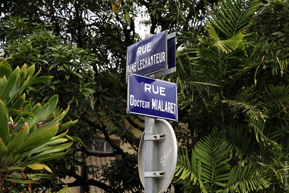 The old street signs. 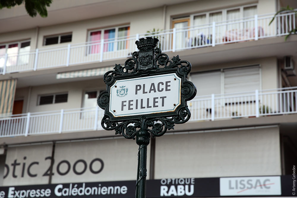 A signpost. 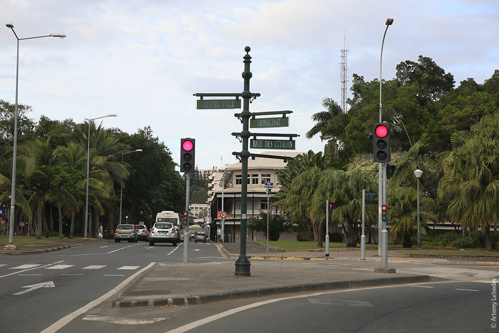 A fire hydrant. 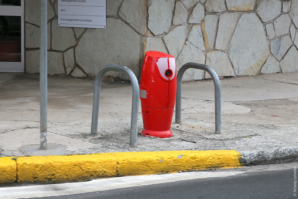 A trash can. 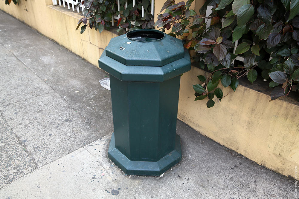 A pedestrian crosswalk button. 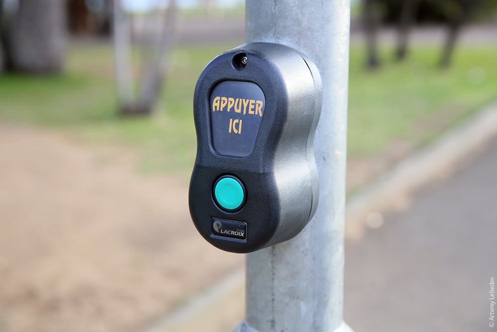 A pedestrian traffic light. 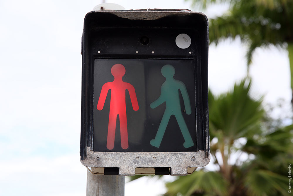 A payphone. 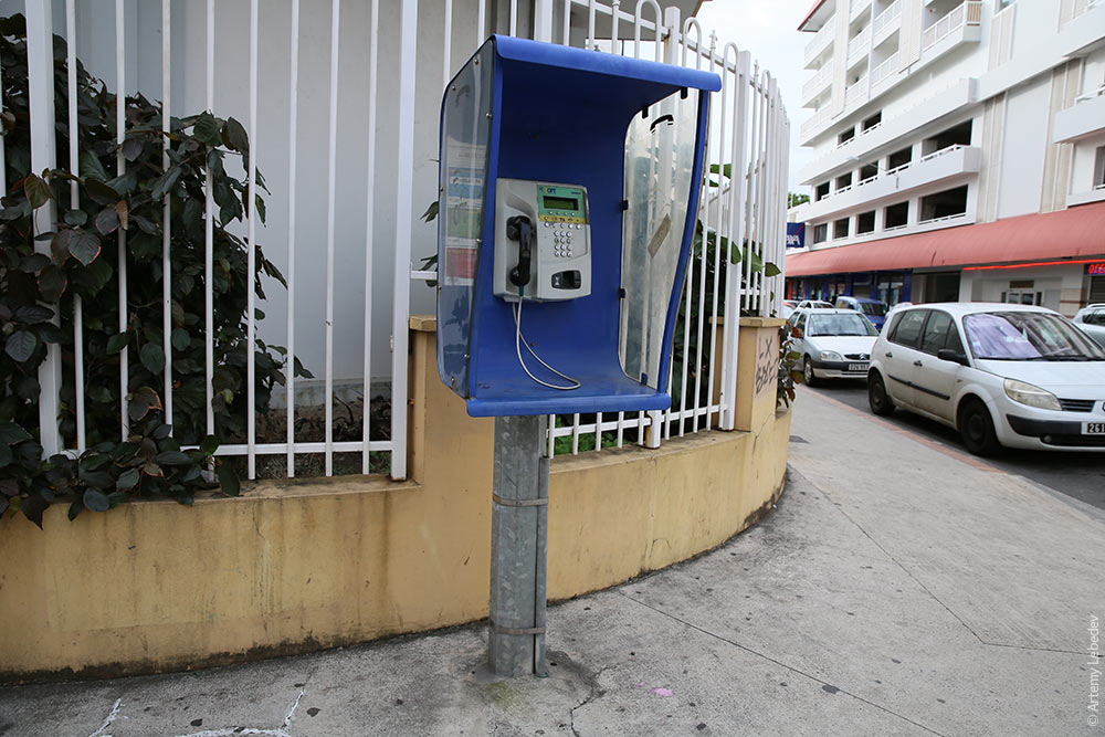 The electrical box has a surface finish that prevents illegal bill posting and also performs a decorative function. 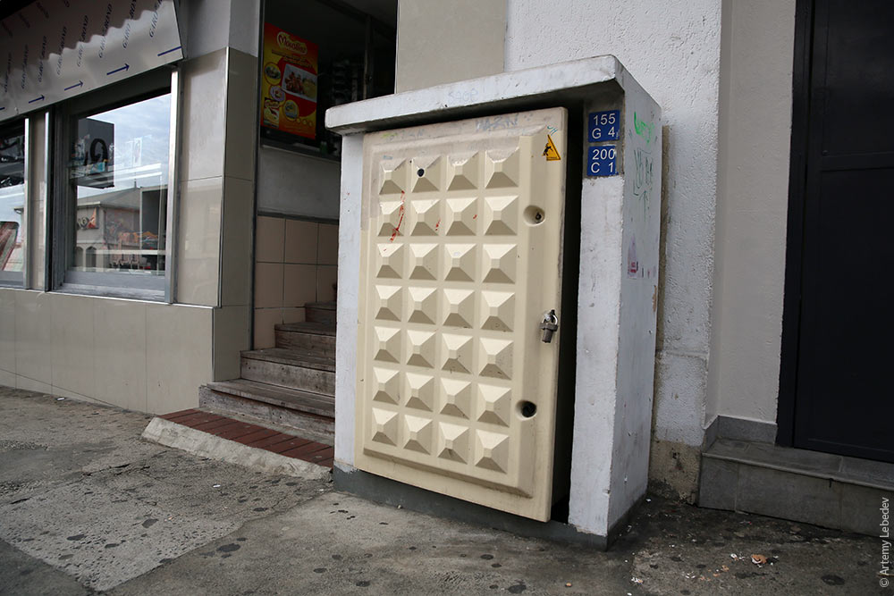 One curious detail in the capital is the unique bus stop signs, which look like white totem poles. There’s often a plaque with the name of the stop as well as a schedule attached to the pole. But even without these features, it still designates a bus stop. 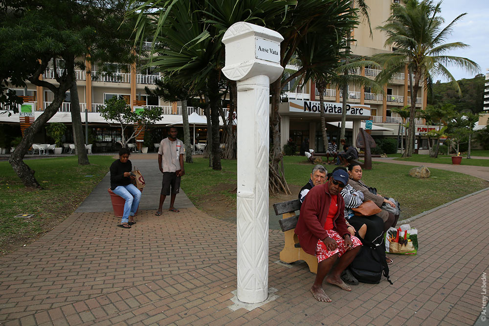 Paid parking is marked as such right on the pavement: it says “paid” (in French) next to the parking spots. 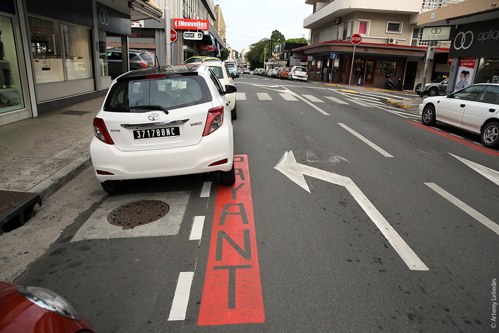 But Nouméa’s most interesting feature is its three-dimensional safety islands. 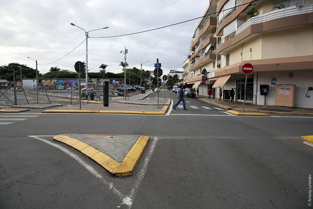 The pedestrian pathway is often a sunken path between raised concrete islands, which protect pedestrians from cars. 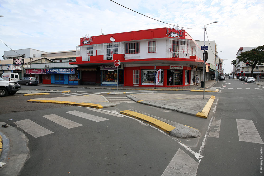 |