FijiMapJuly 7–9, 2014 Here I am again. 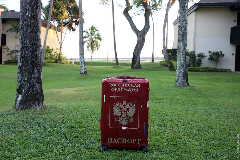 Russian Federation Passport The morning greets us with a chill.  SavusavuMapBefore.  After.  Sheaf bundling. 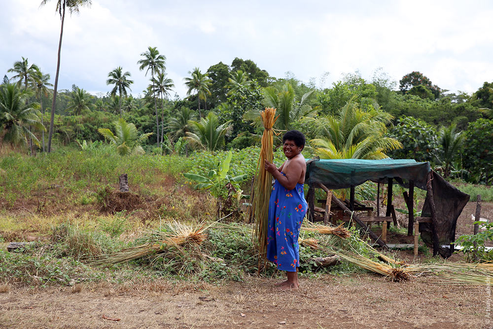 Digger. 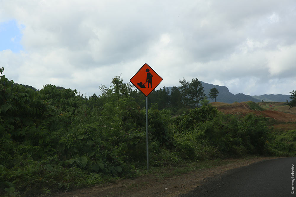 Pedestrian. 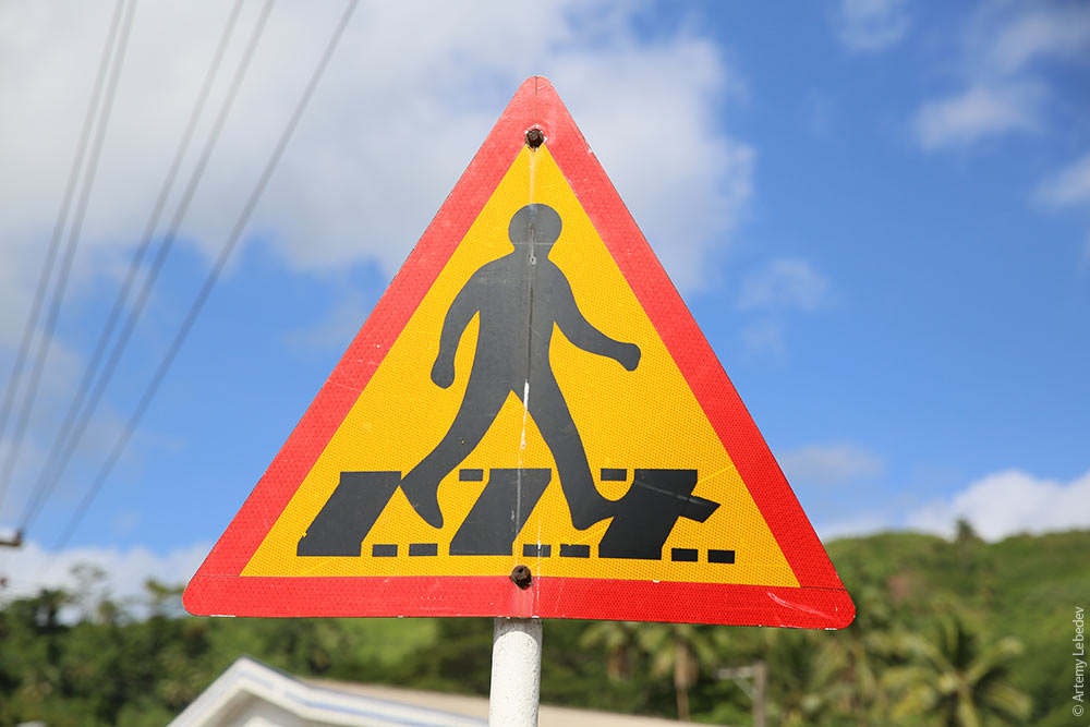 The slope’s natural color. 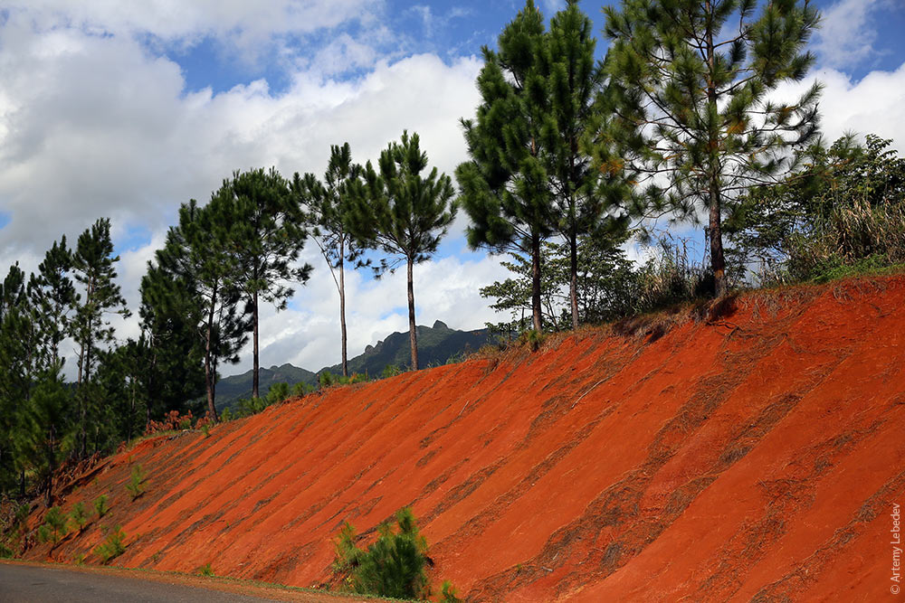 The city is rather nondescript. 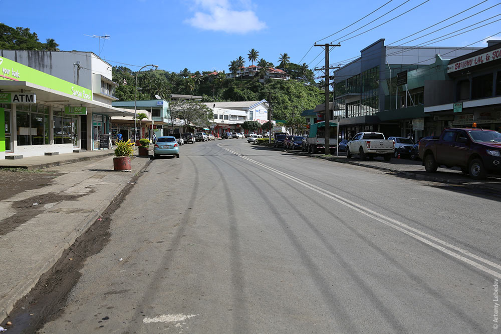 Mucklands. 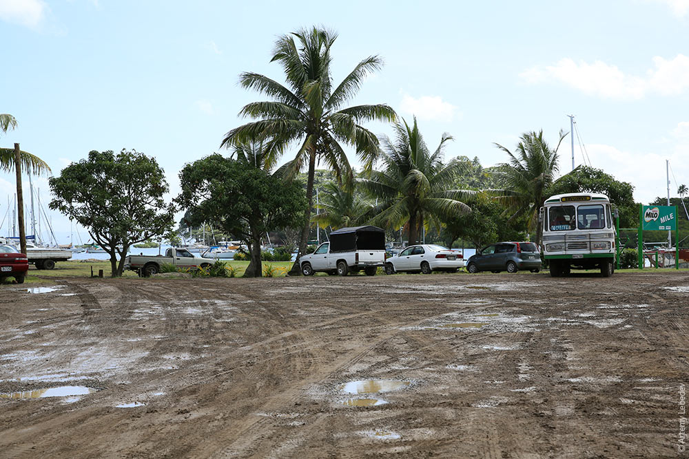 People often put fake fur on top of their dashboards to keep the car from overheating. This creates an absolutely beastly reflection in the windshield. 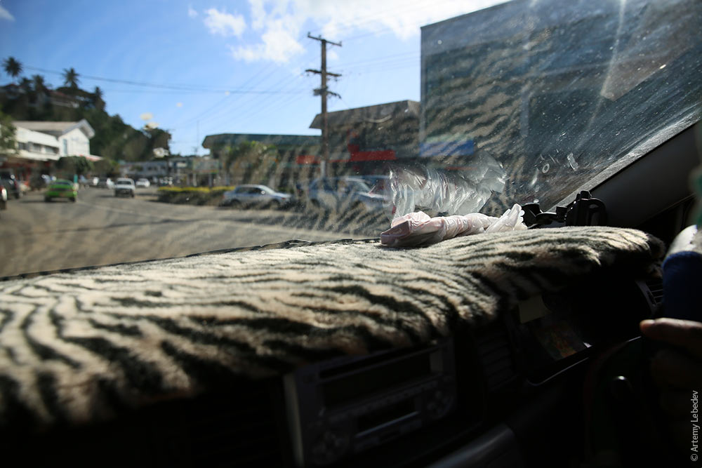 A trash can. 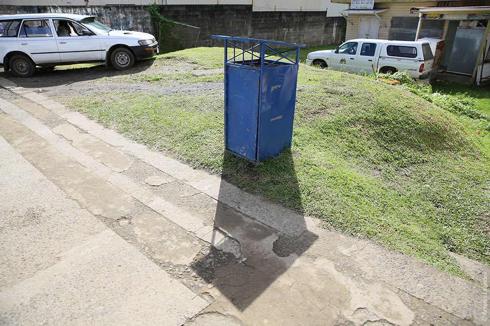 The lampposts are decorated with ornamental patterns (like on the Solomon Islands). 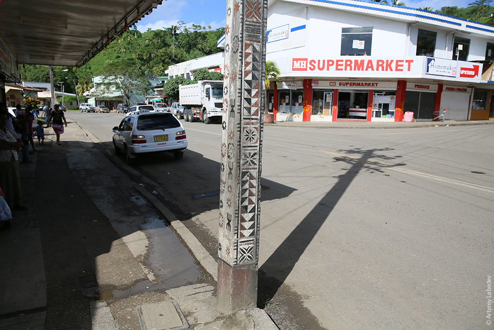 LabasaMapYou start to see multitudes of trucks loaded with sugar cane as you approach the city. 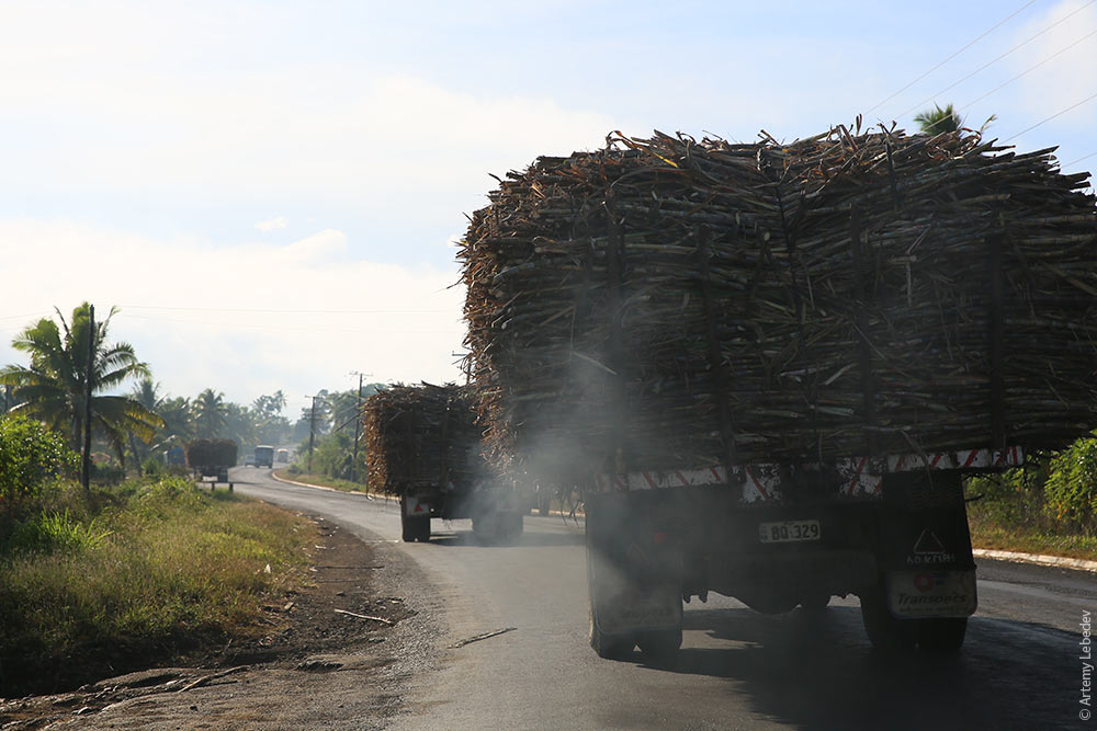 There are plenty inside the city as well. 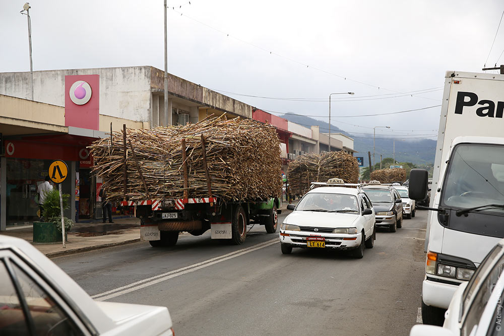 The city itself is uninteresting. Ordinary Fiji trash cans. 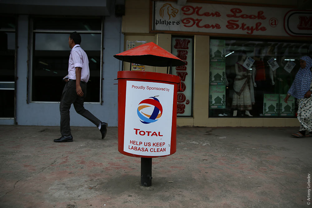 Ordinary fire hydrants. 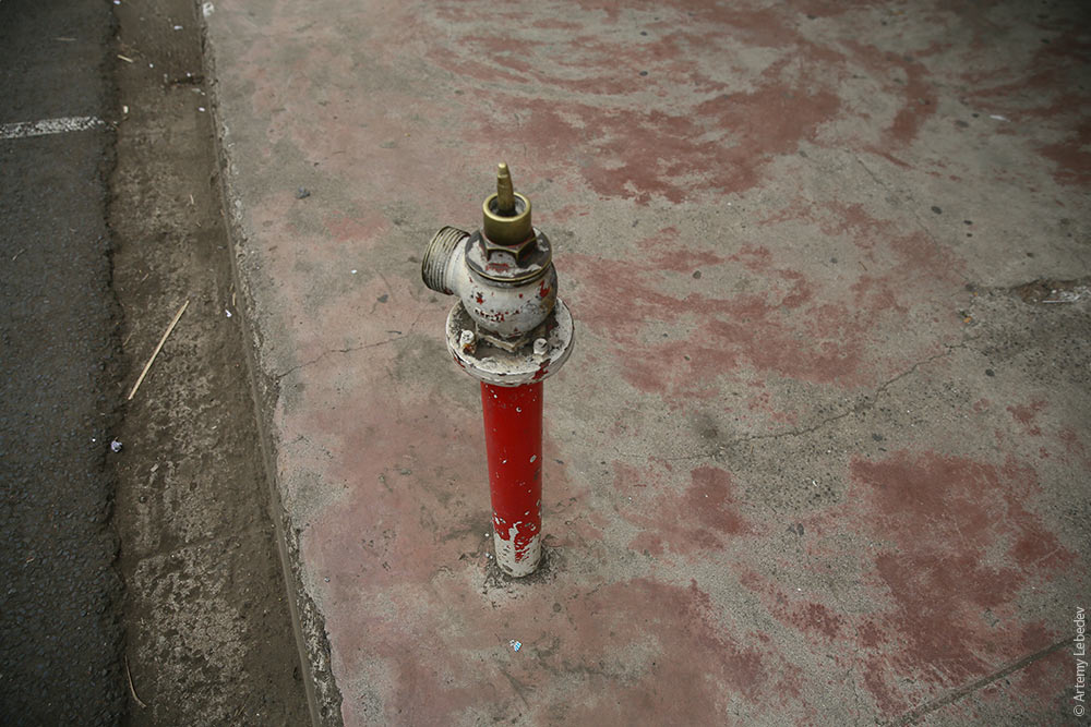 An ordinary bus without side windows (because it has rain curtains). 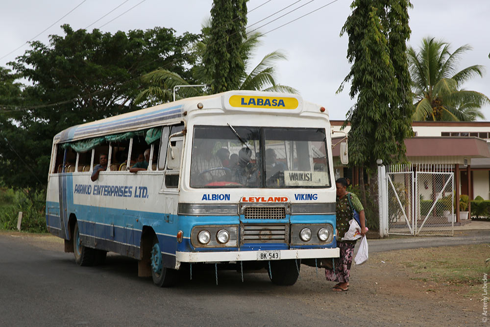 The only interesting detail here is Siberia Road. Why it was named Siberia Road remains a mystery. 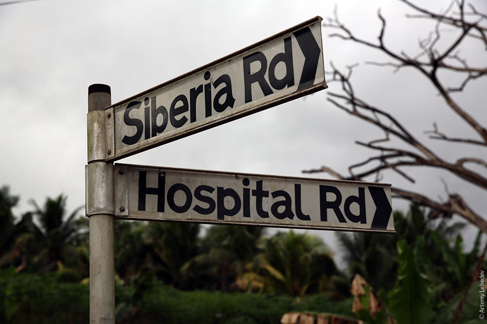 A railroad crossing sign. 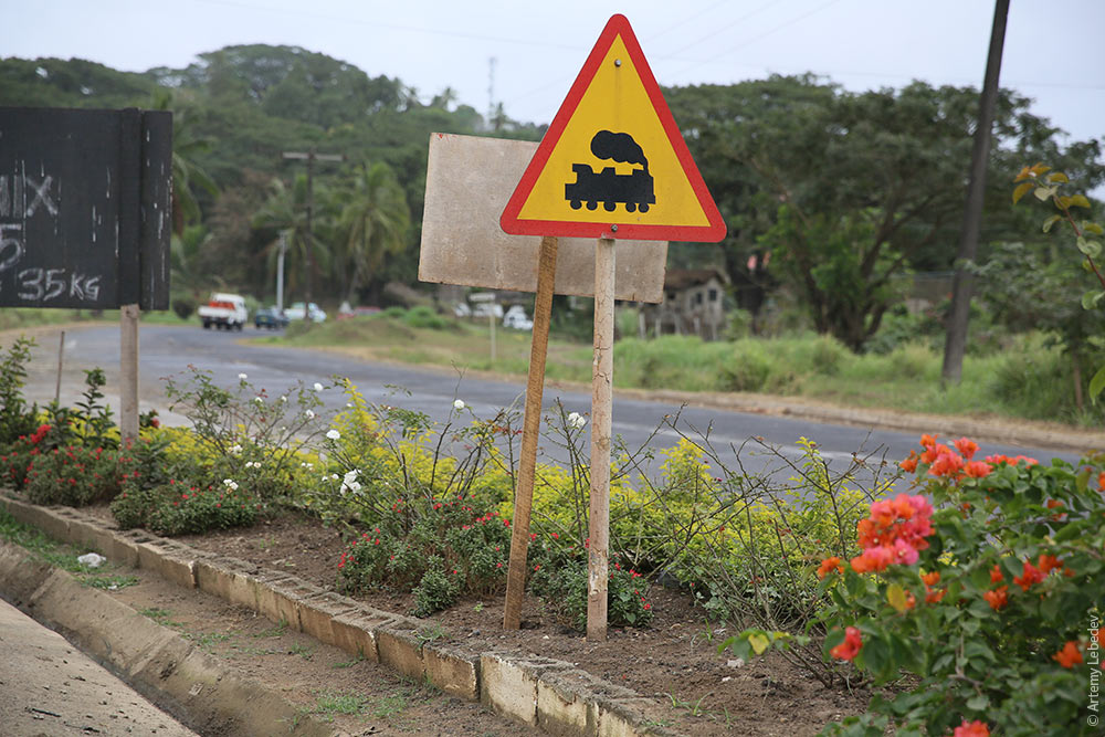 I looked at the map and couldn’t immediately understand what was coming up. 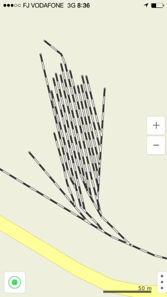 But it was the railroad tracks! The tracks of the sugarcane processing plant. 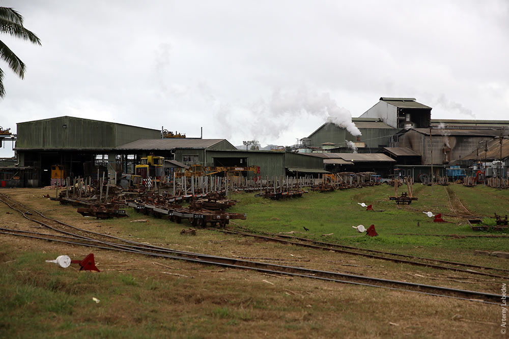 A bunch of trucks and tractors full of sugarcane were lining up to unload their harvest at the factory. 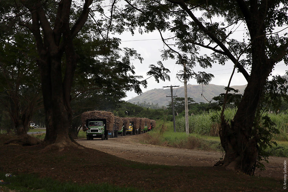 The line is very long. 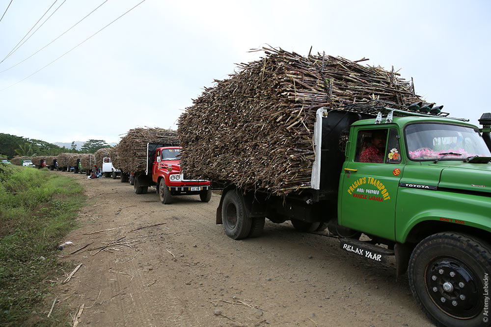 In order to not get bored while they wait, all the drivers spread out blankets on the ground and sit, snacking and talking to each other. 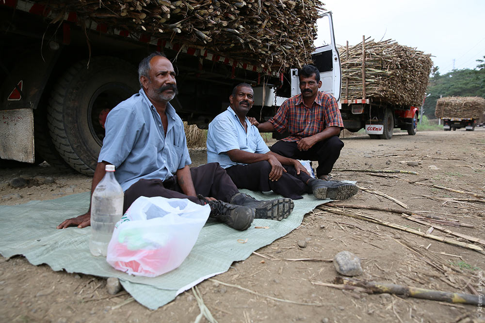 And the line continues further into the distance. 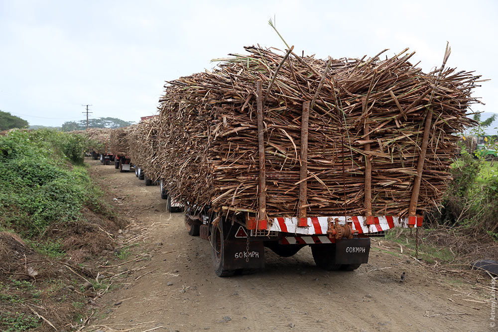 Because they’ll never run out of sugarcane here. 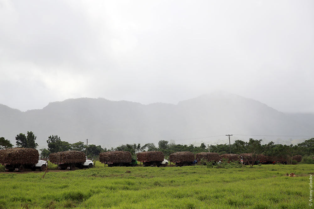 |