CaribEthnoExp. Part IV. Antigua and BarbudaMapMarch 14 ... April 5, 2014 Elections are coming up here. You can vote for the red party. 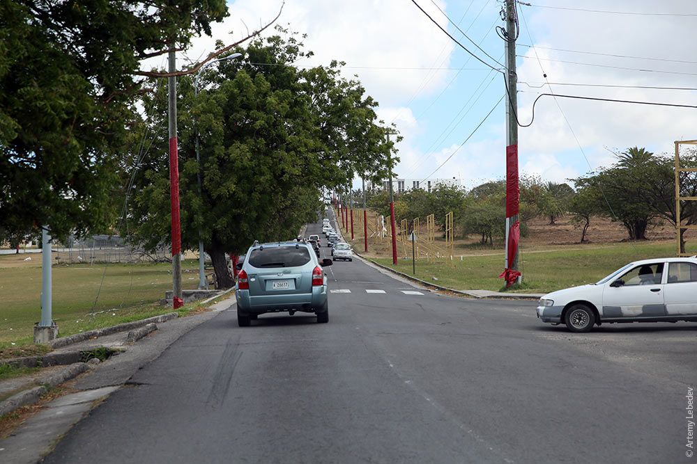 Or the blue party. 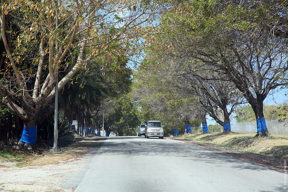 St. John’s (Antigua)MapA cruise ship has docked in the city. 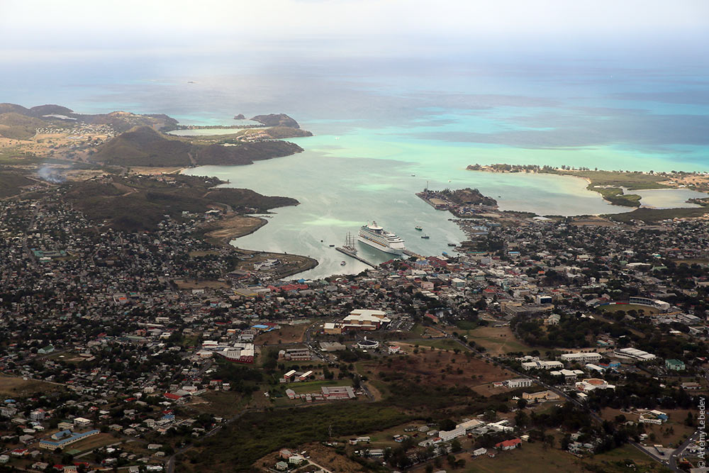 Resort life. 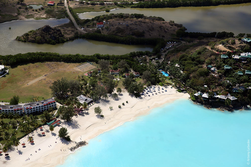 Regular life. 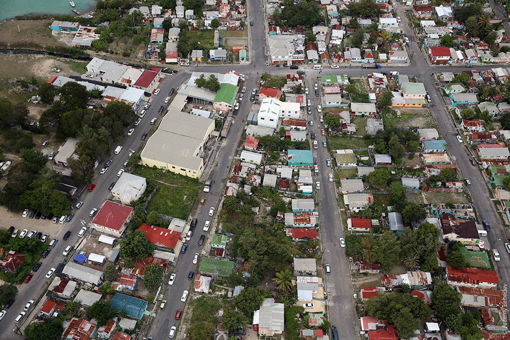 A street. 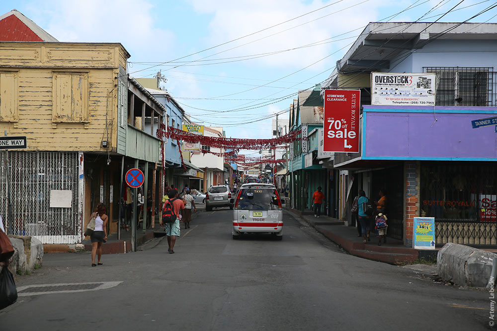 The city trash cans resemble the ones in New York. 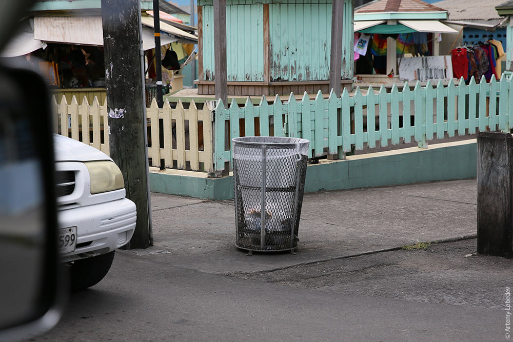 There are stone fortifications on many street corners (like in Frederiksted). 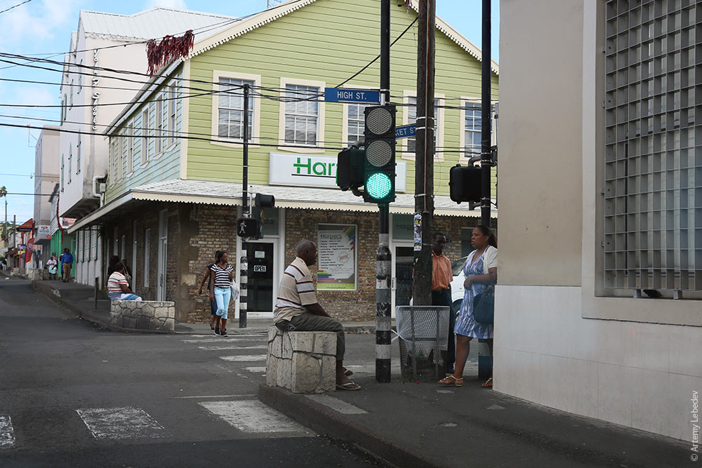 The corners are also easily identifiable by the curved yellow road markings, which prohibit parking inside the turn radius. 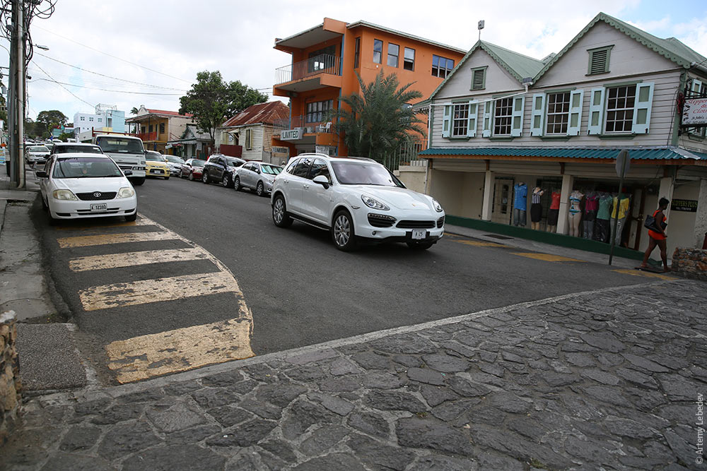 A fire hydrant. 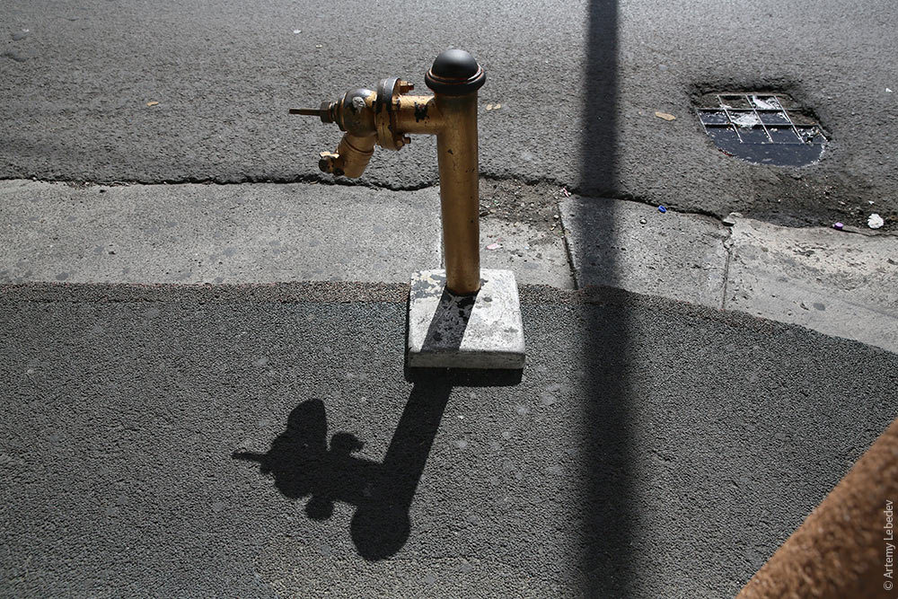 A bus stop. 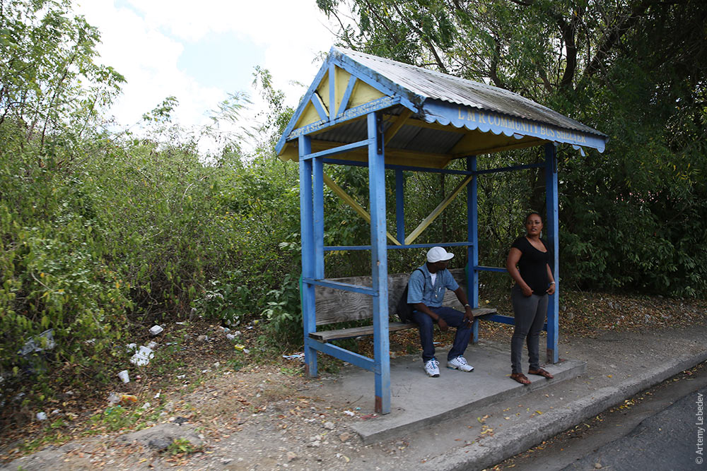 A street sign. 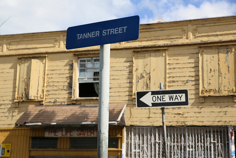 A monument. Colorful, like the statues in ancient Greece. 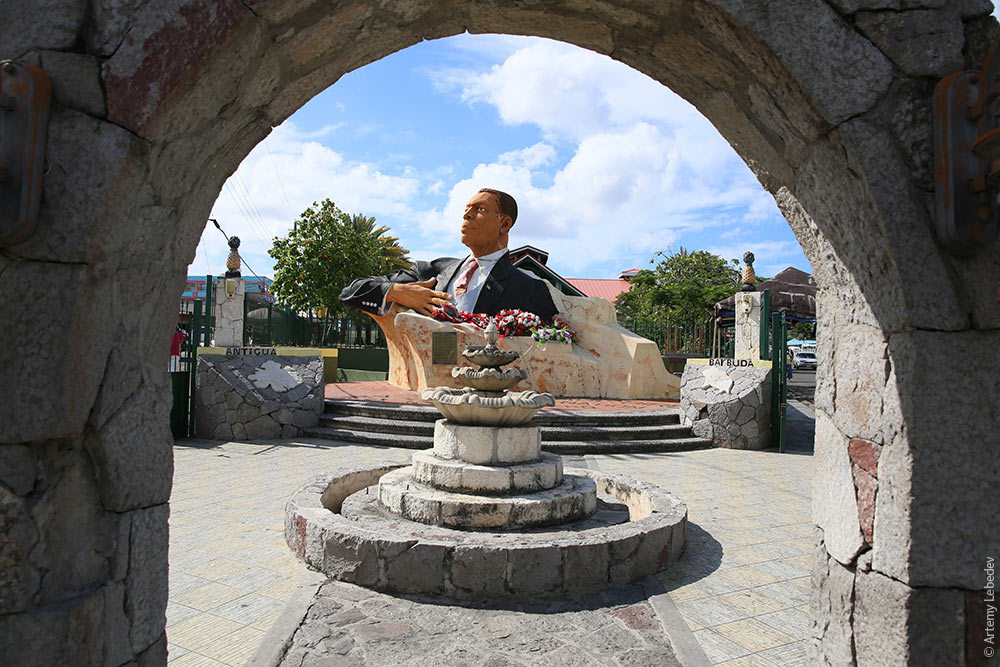 Codrington (Barbuda)MapThe second island in the country’s name is Barbuda. 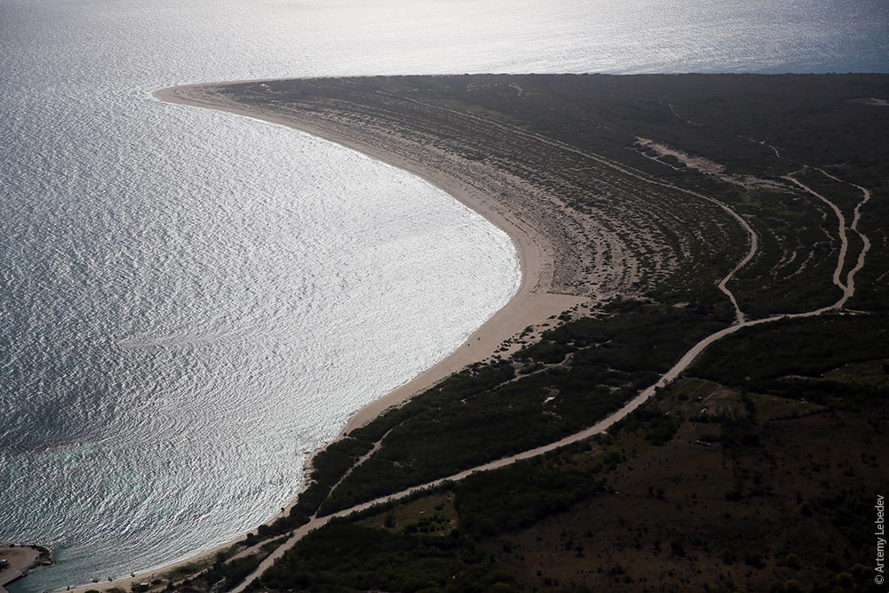 The only thing it’s known for is supplying sand for construction on Antigua. 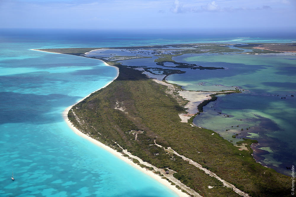 From the air, it’s already obvious to the experienced traveler that there’s nothing to do here. 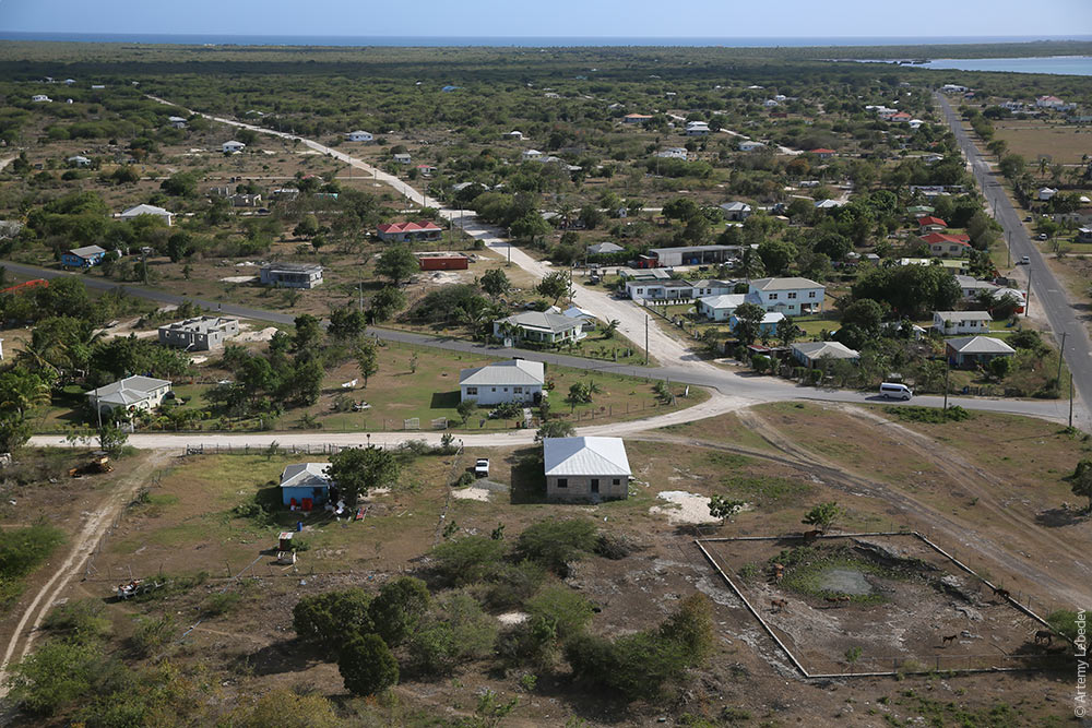 A walk on the ground will fully confirm that suspicion. 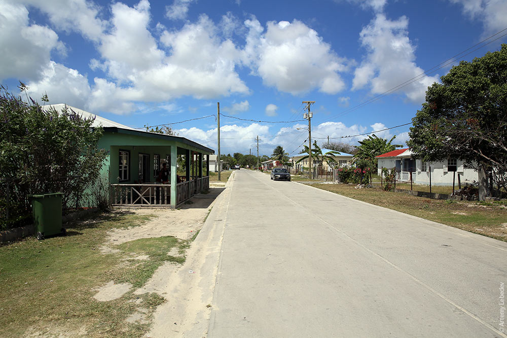 As will the locals. 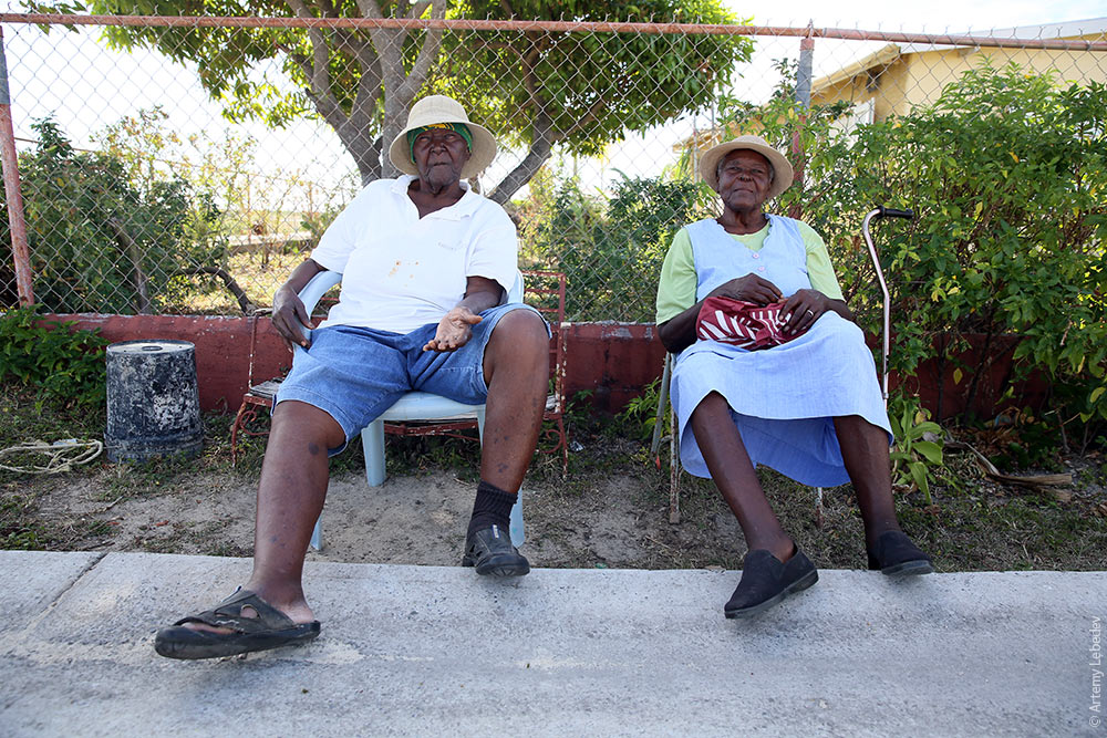 |