CaribEthnoExp. VIII. Saint Vincent and the Grenadines
Map
March 14 ... April 5, 2014
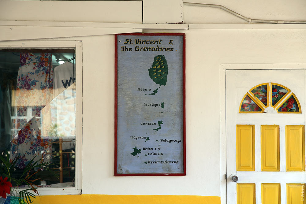
The laid-back, relatively obscure Caribbean nation of St. Vincent and the Grenadines consists of a big island called St. Vincent and a bunch of smaller islands called the Grenadines.
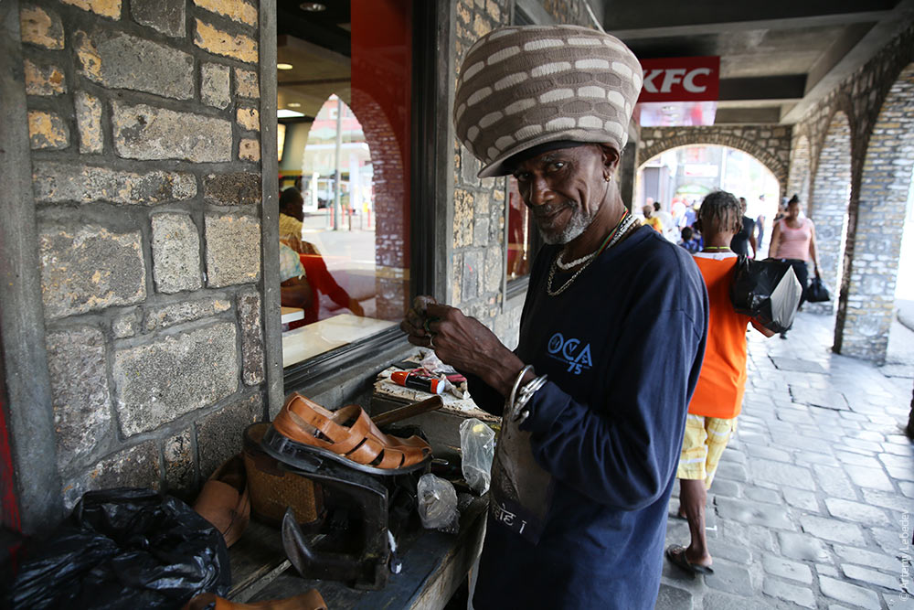
Men with giant hats stuffed full of dreadlocks live here.
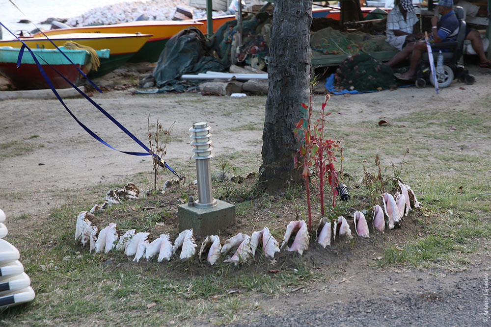
Public areas are often decorated with large conches.
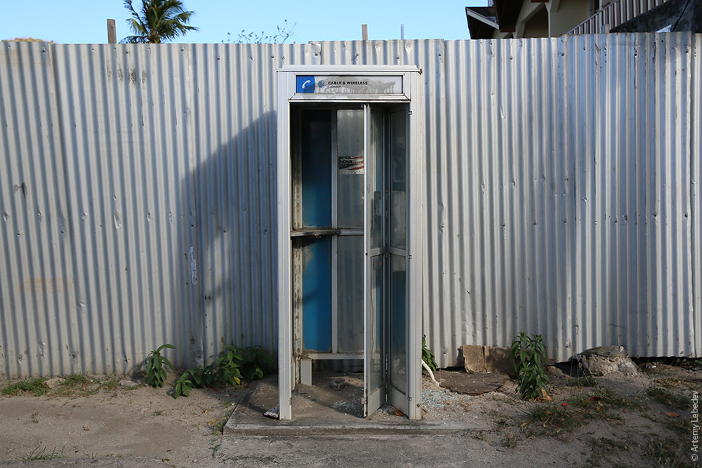
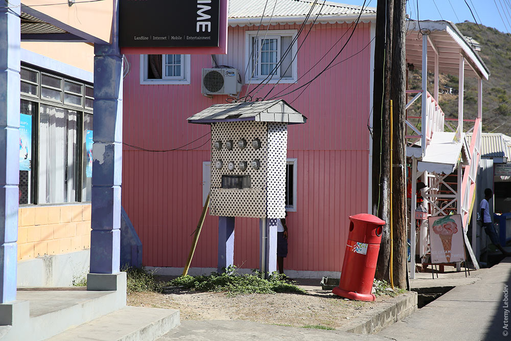
And Cable and Wireless payphone booths.
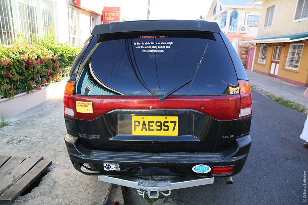
Cars are decorated with Bible verses or other text decals.
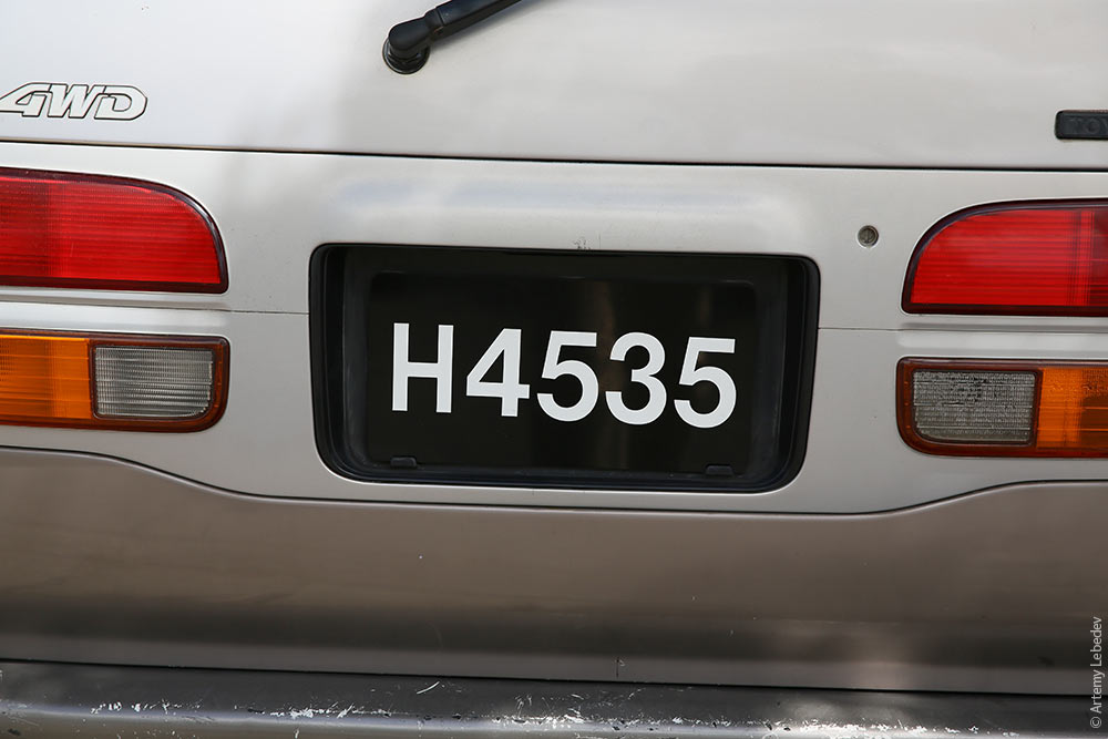
The license plates aren’t that interesting.
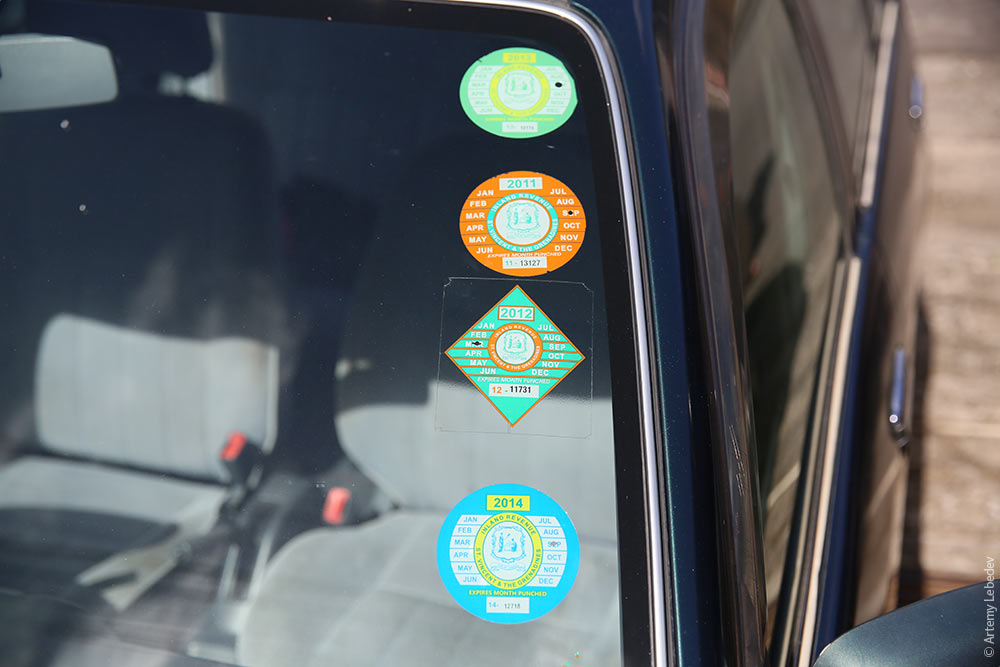
But the car tax stickers are nice and very diverse in terms of shape and color.
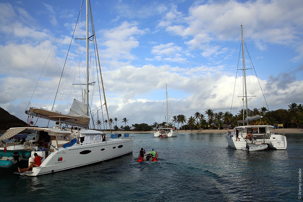
Bequia
Map
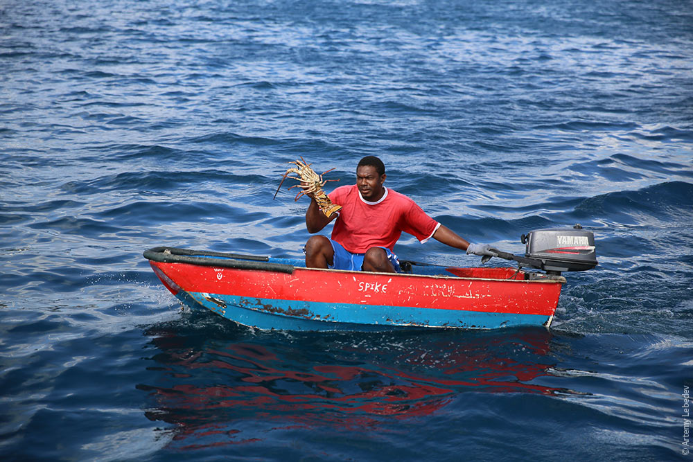
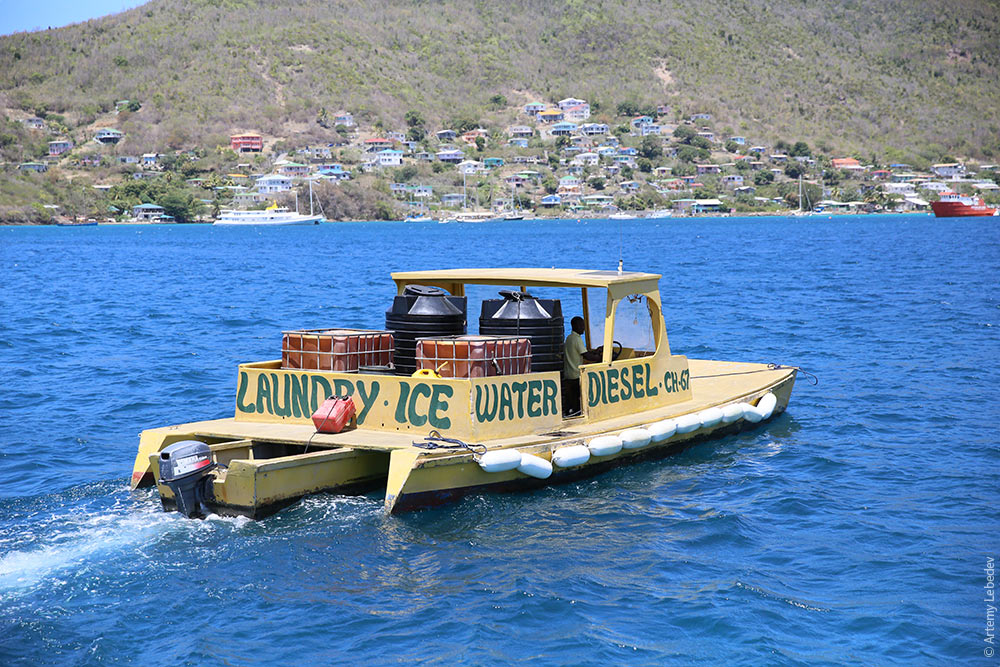
In the mornings, lobster vendors come around to the yachts anchored offshore.
As well as launches that sell ice, water and diesel and offer laundry services.
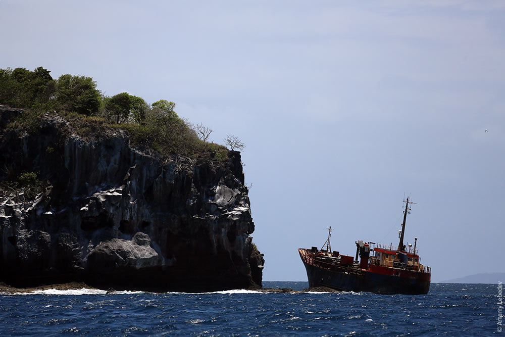
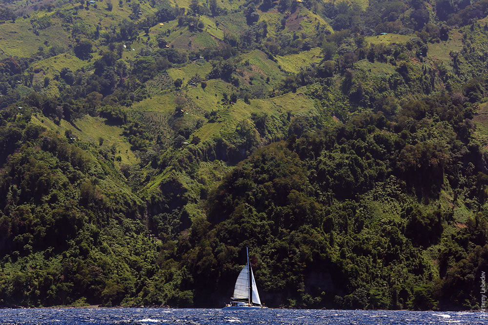
We sail onwards, but others aren’t going anywhere.
Mustique
Map
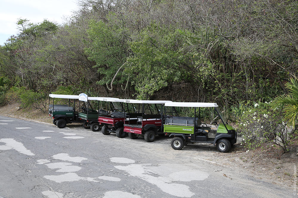
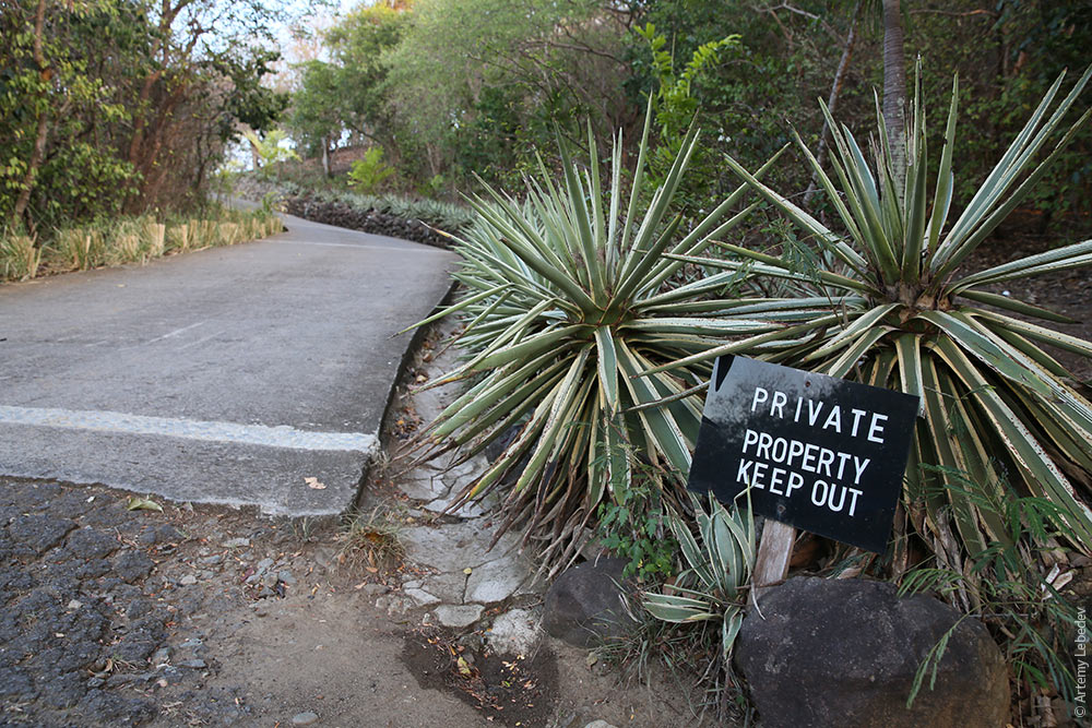
A fairly unusual occurrence: a private island where all the land has been bought up by rock stars and billionaires for their luxury villas and residences.
There are no cars on the island. Everyone uses electric carts.
If you haven’t been invited here by some British princess, the most you’ll be able to feast your eyes on is “Private Property” signs.
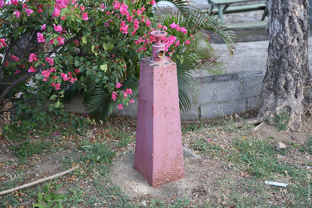
You can take a moment to feel sorry for the island’s unfortunate guests, trapped here with nothing to do and dying of boredom, admire the pink cement-coated fire hydrant, and sail onwards.
Canouan
Map
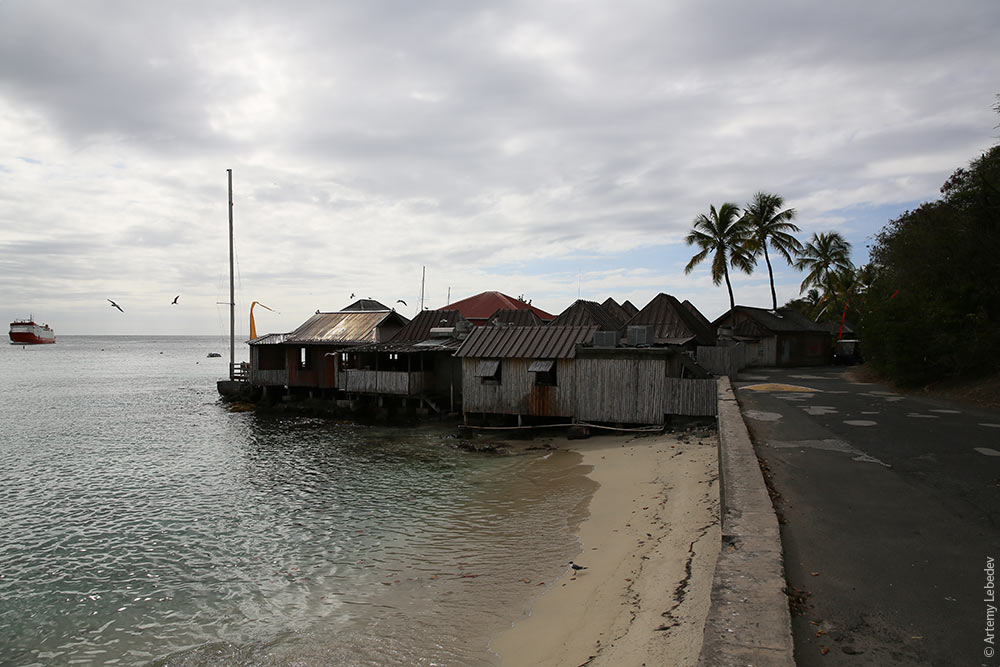
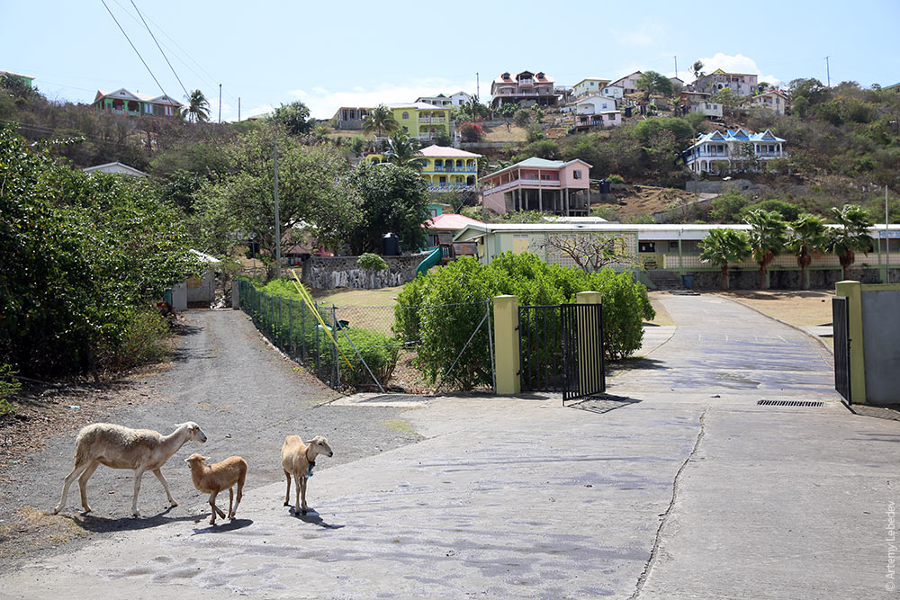
Islands are nice only when you’re traveling by yacht. “One day, one island” is the ideal format. It’s nice to arrive on an island, have some cocktails and then continue onwards. There isn’t much to see in this village.
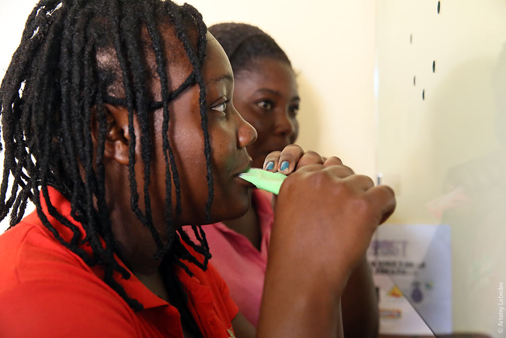
A young woman eating ice cream at the post office.
Mayreau
Map
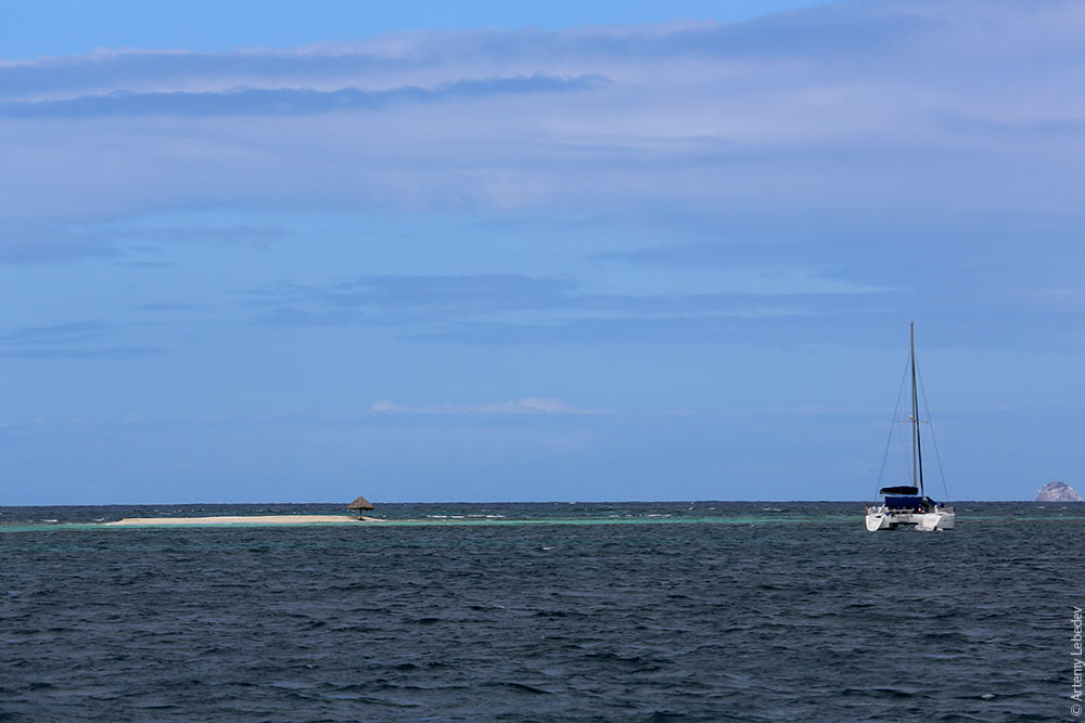
It’s a good thing we have our own catamaran at our disposal. We stop at an island that consists primarily of white sand beaches. Time for a swim!
Morpion
Map
“Morpion” means “crab louse” in French. The name fully reflects the size and significance of this piece of land.
Union
Map
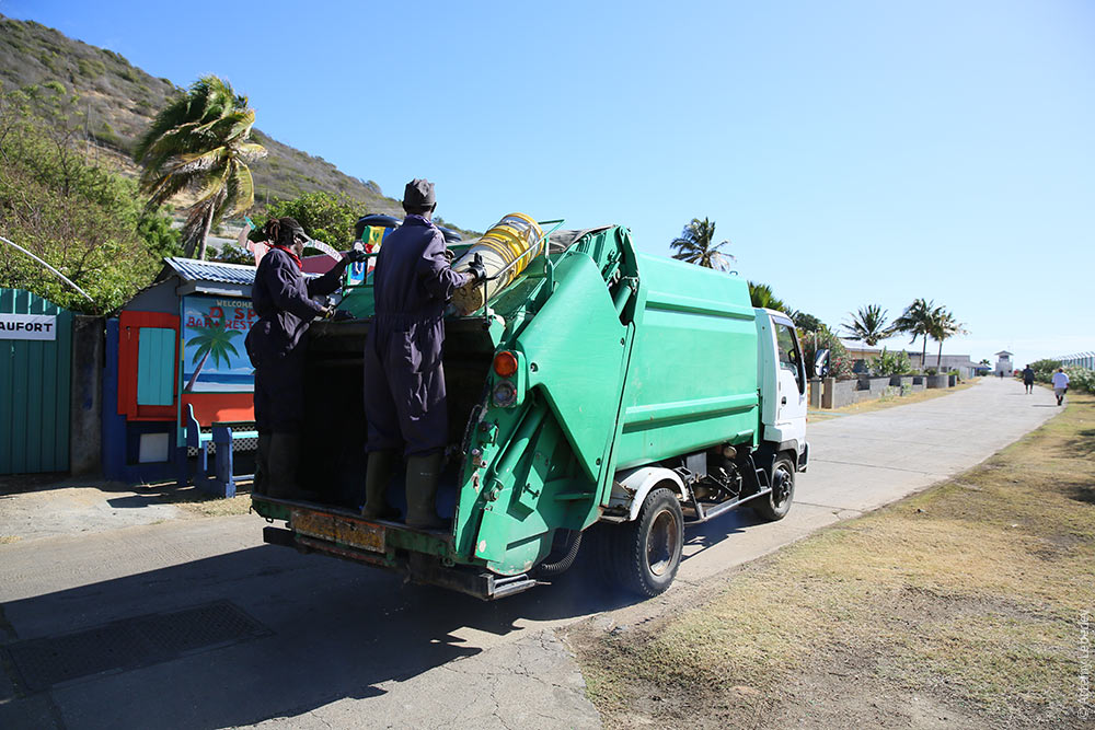
The island is kept clean.
There are red plastic trash cans everywhere.
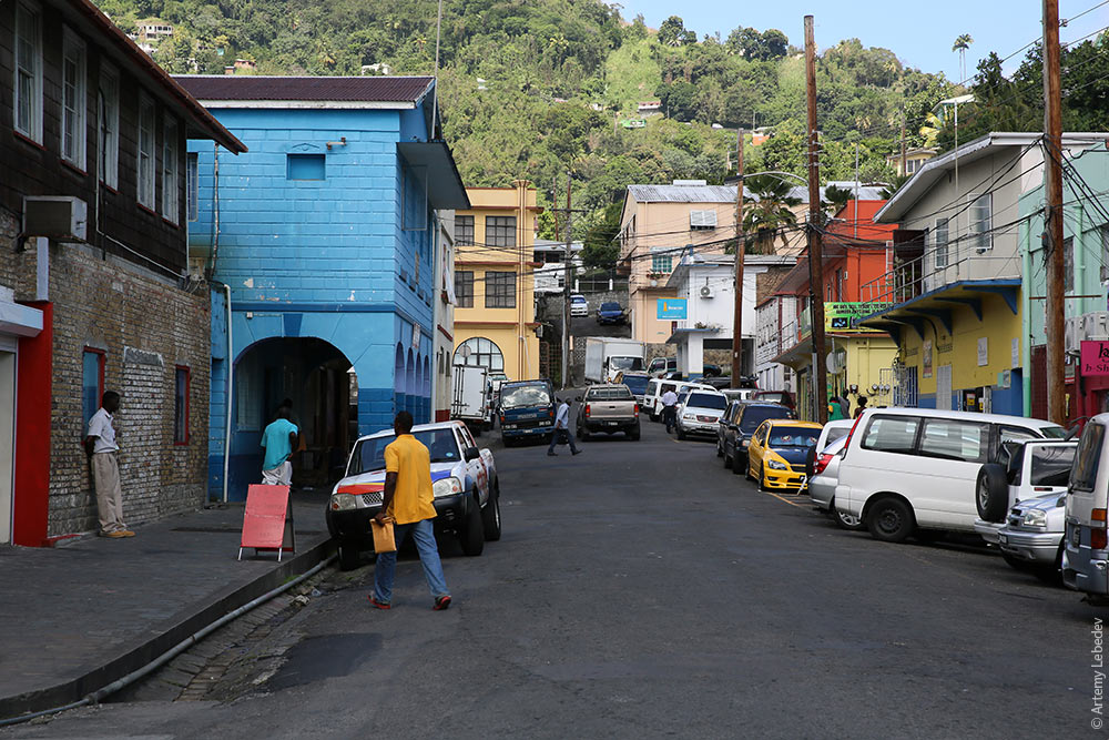
Kingstown
Map
Half of the island of St. Vincent appears to be uninhabited. If you look closer, however, you’ll notice that there are small houses everywhere, but no roads leading to them. Rumor has it that people grow weed here. It’s best not to show up on this side of the island uninvited.
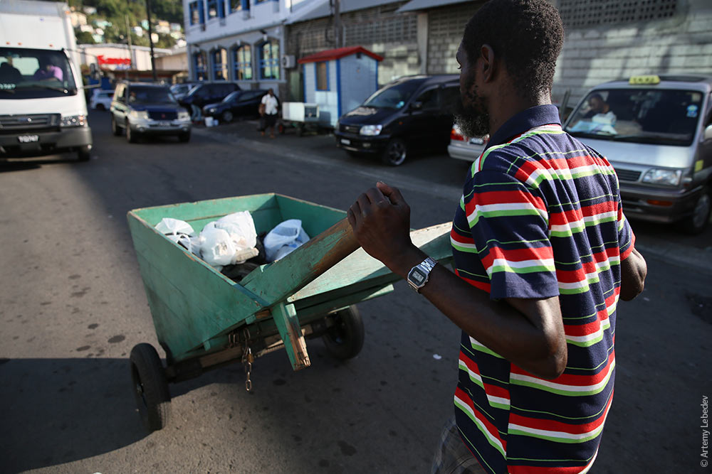
The capital’s main distinctive feature is the cart-pushers with their triangular wooden carts. For a buck or two, they’ll transport anything you want around the city.
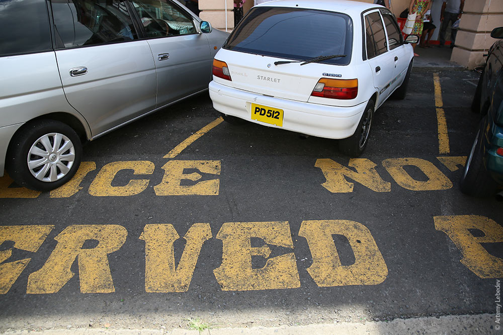
All the pavement markings use an incredibly ornate Western typeface.
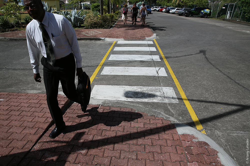
Zebra crossings have yellow stripes on both sides.
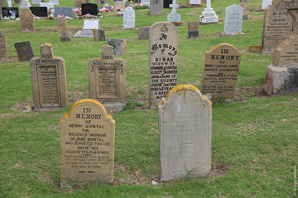
Georgetown is a very charming place.
Even the cemetery here is lovely.
|