Guatemala. Part II. CitiesMapDecember 30, 2010 — January 3, 2011 The capital city isn’t very safe to walk around in, but the tourist towns are very peaceful. Guatemala CityMapThe first thing you notice in the capital is the unbelievably large number of giant advertising billboards. Since everyone has to share air space, the person with the largest format printer wins. 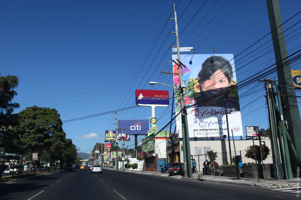 No sooner does your eye get accustomed to the plethora of billboards than you begin to notice the overabundance of poles. Where one pole would usually do, here you have five sticking out of the ground. 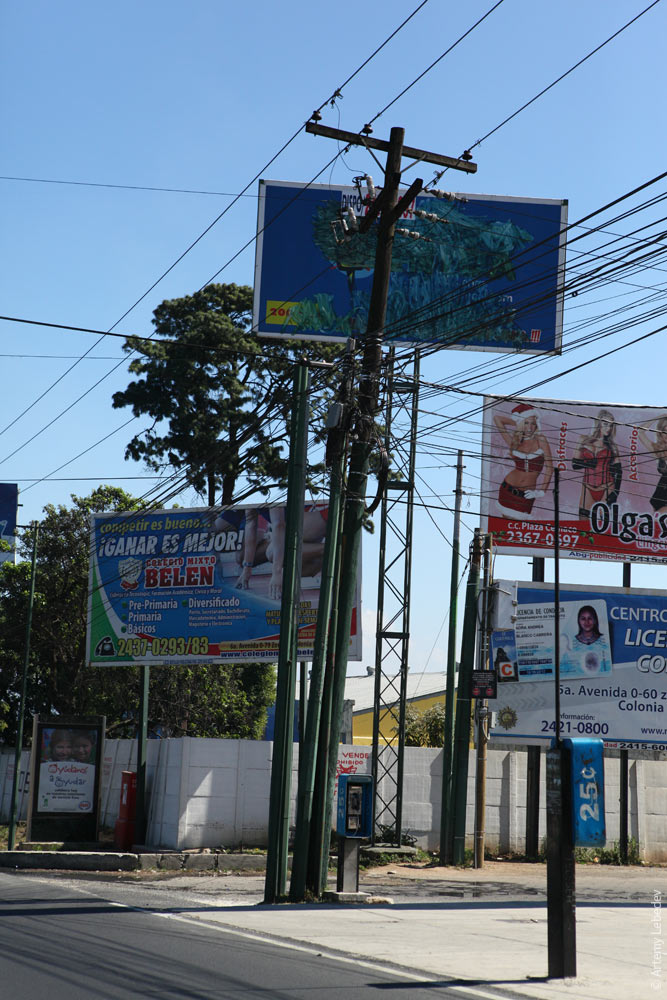 The thing is, the poles are privately owned. So the telephone company can’t hang its wire from the pole of the electrical company. And there’s no shortage of companies with wires here. 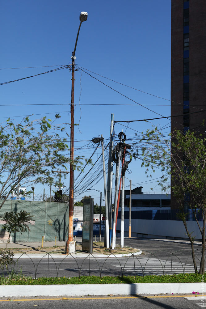 The same can be said for street payphones. Guatemalans like to have options. So it’s nearly impossible to encounter just one payphone by itself. 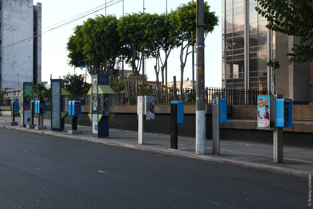 On the other hand, it seems that there’s only one post box for the entire city. It stands by the hotel for tourists’ amusement. Everyone else uses post offices. 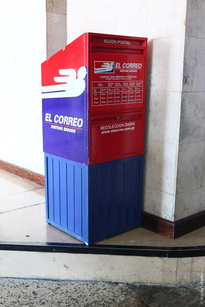 The traffic lights aren’t particularly noteworthy. 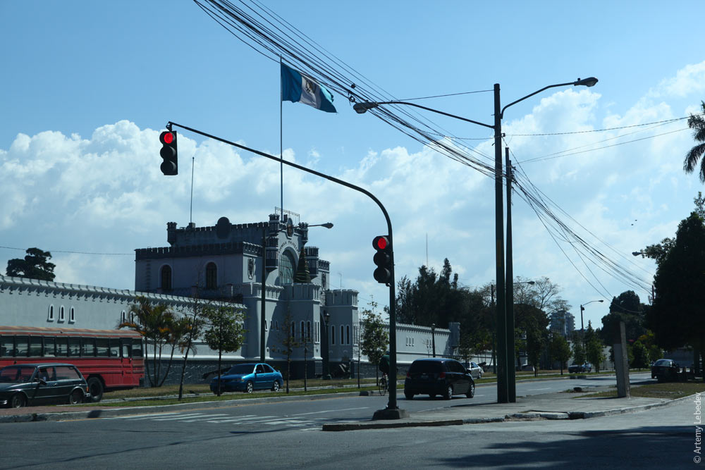 I encountered only one interesting one in the old part of the city—it was rotated by 90 degrees to fit under the overhang. 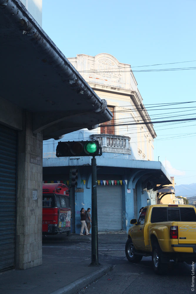 The old city is gorgeous, but not very safe. 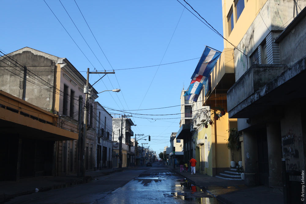 You can come across some absolutely amazing artifacts. 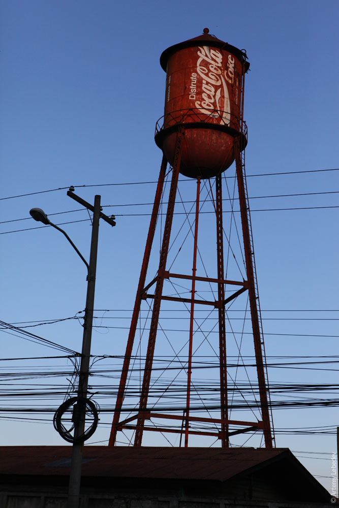 The bus stops are very open (it’s hot, after all), but at the same time almost always separated from the road with a barrier. 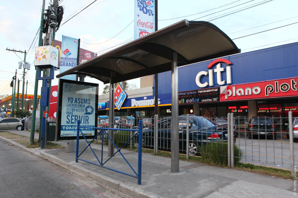 The last thing I expected to find in Guatemala City is a bus rapid transit system, like the one the Brazilian city of Curitiba is known for. 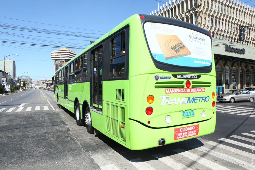 The idea is that passengers pay their fare at the bus stop and not on the bus, thus saving a bunch of time. Bus stops are purposely built on an elevated platform with a ramp, and bus doors are located at the corresponding height. You can’t just hop in from the sidewalk. 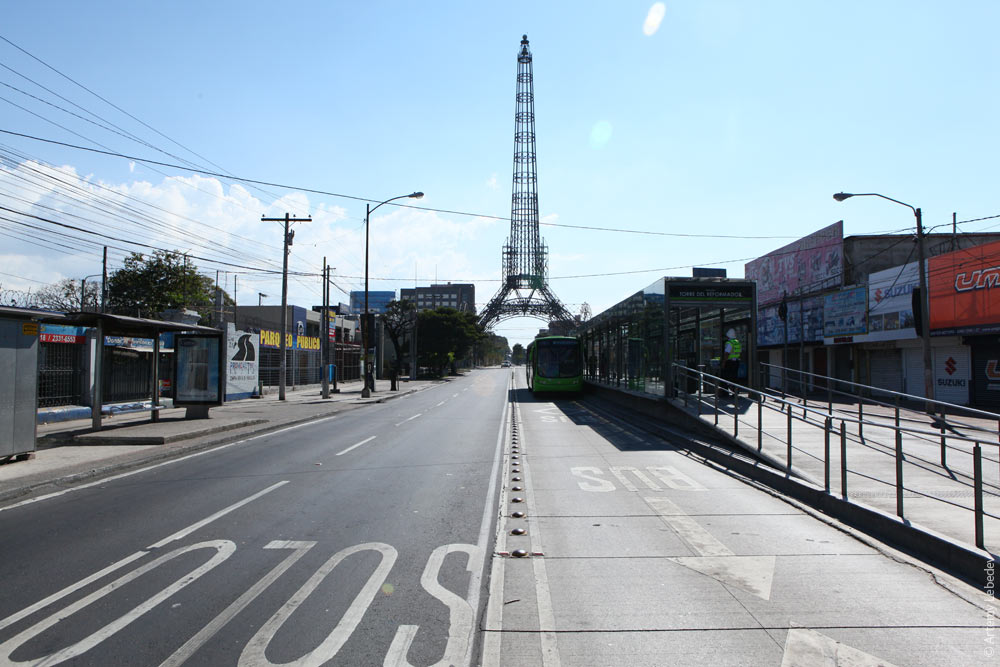 For some reason the police, who are at every stop, don’t allow taking photographs. You’d think this is something they should be showing off. 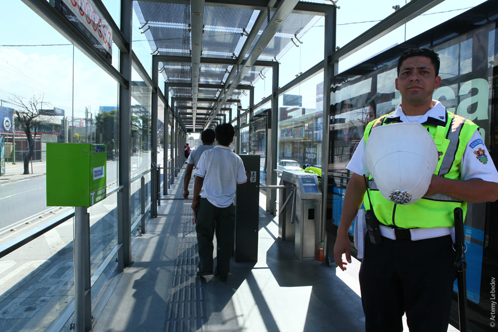 Antigua GuatemalaMapA small colonial town completely overrun by tourists. Its style reminds me of another colonial Spanish town—La Laguna on the Canary Islands. 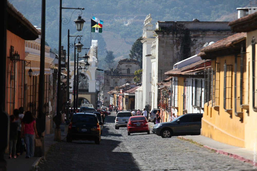 Even the weeds on the roofs resemble the ones on the Canaries. 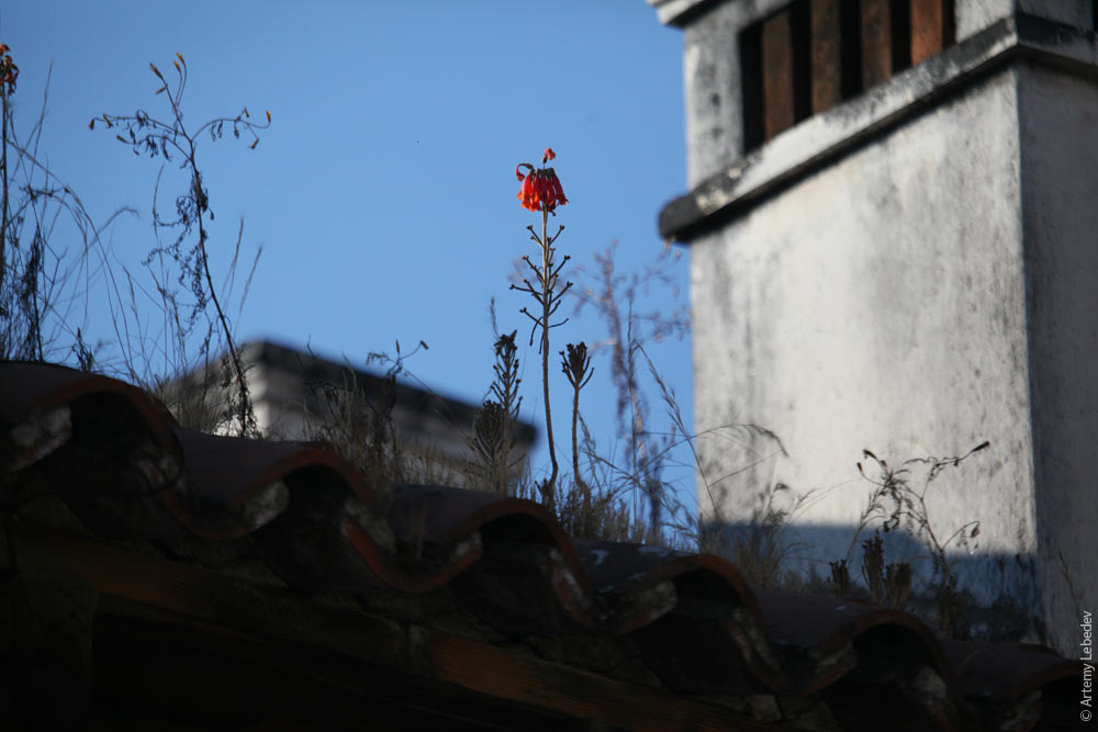 Lawn railings are covered with spikes to prevent people from sitting on them (like in Monrovia).  Interesting local details include a corner window.  And the baroque-style complex folds of window openings.  In profile, Antiguan trash cans resemble prams from Soviet caricatures. 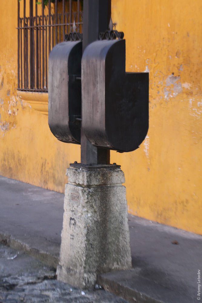 A number of old post boxes have survived here, although of course they’ve been in disuse for a long time. 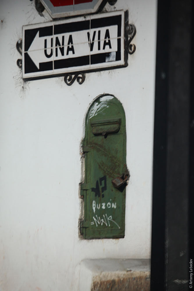 A tile stop sign reconciles tradition with modernity. 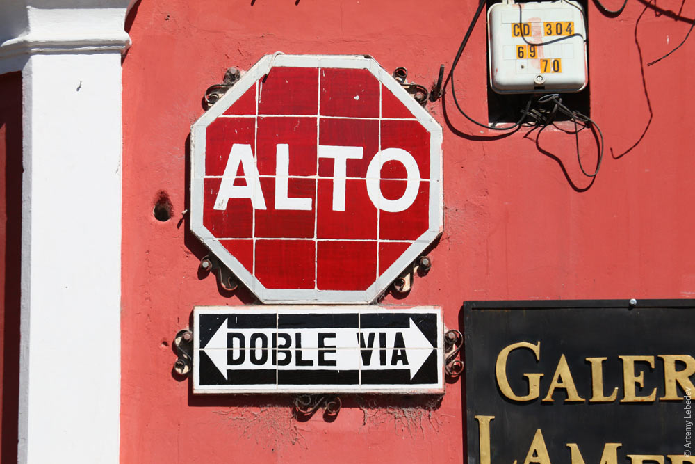 A distinctive art form: Guatemalan folk paintings (retablos). 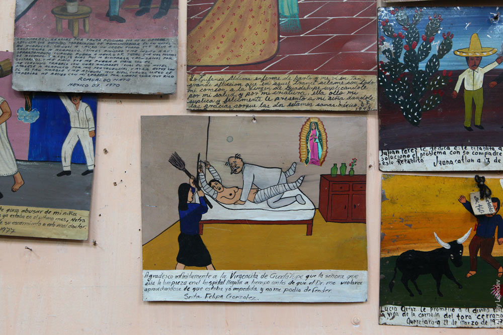 A Jesus chair. 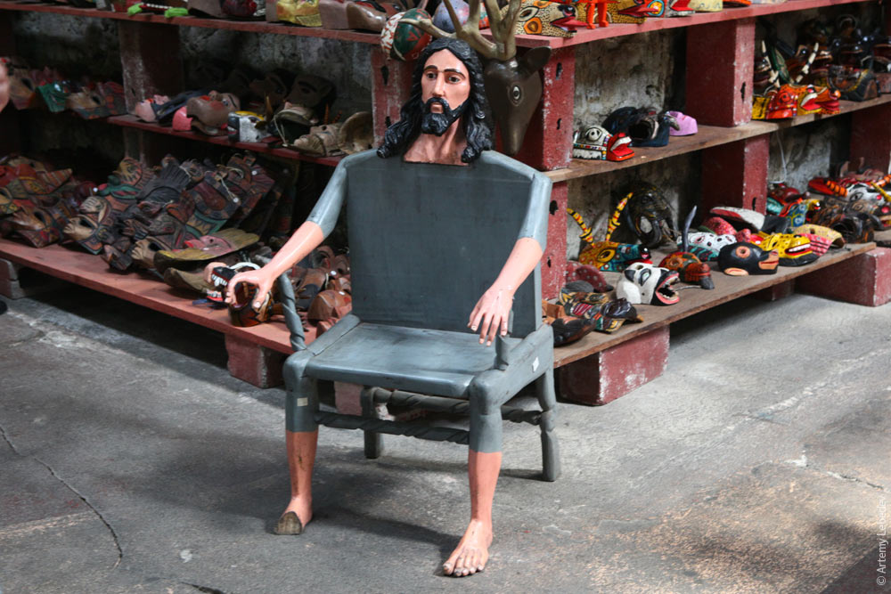 “Fruit market from above” paintings are very much en vogue. 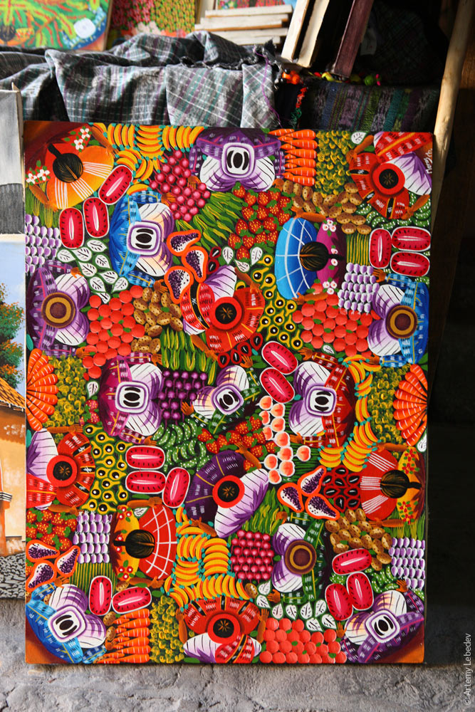 FloresMapA small decorative town with small decorative fire hydrants. 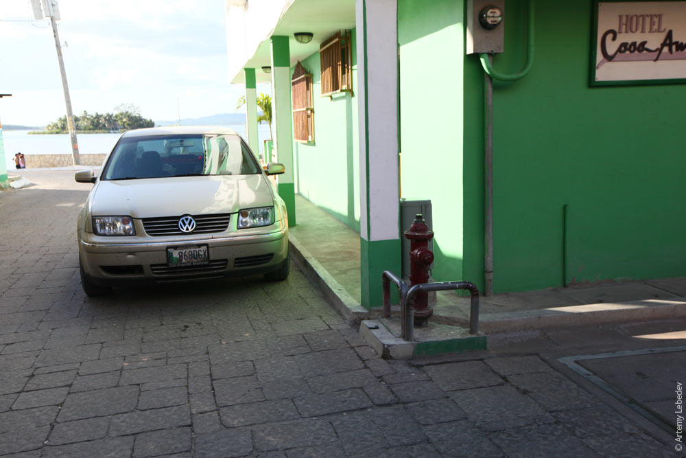 The only notable local feature is the electricity meters under transparent covers. 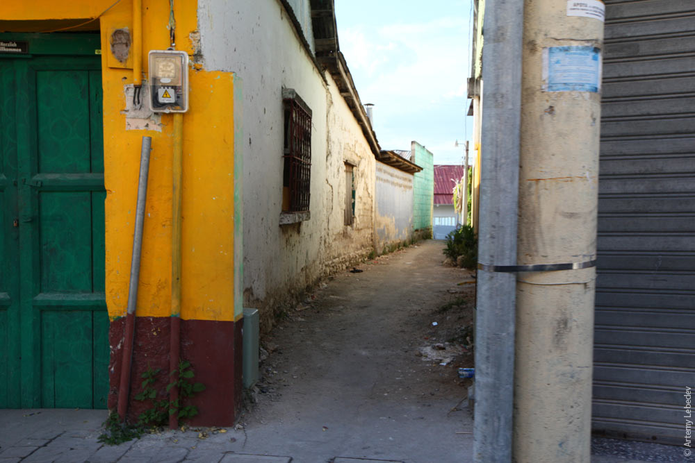 TikalMapGuatemala inherited a few ancient Mayan structures. 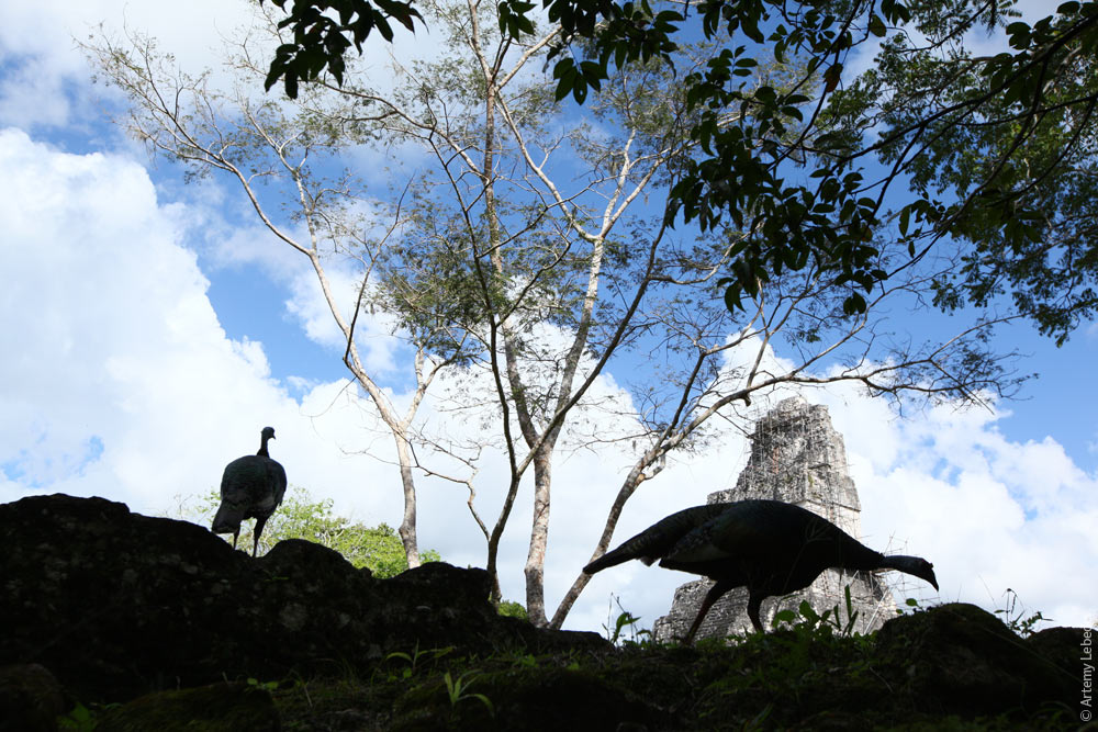 Some of them have yet to be excavated and restored by archaeologists. 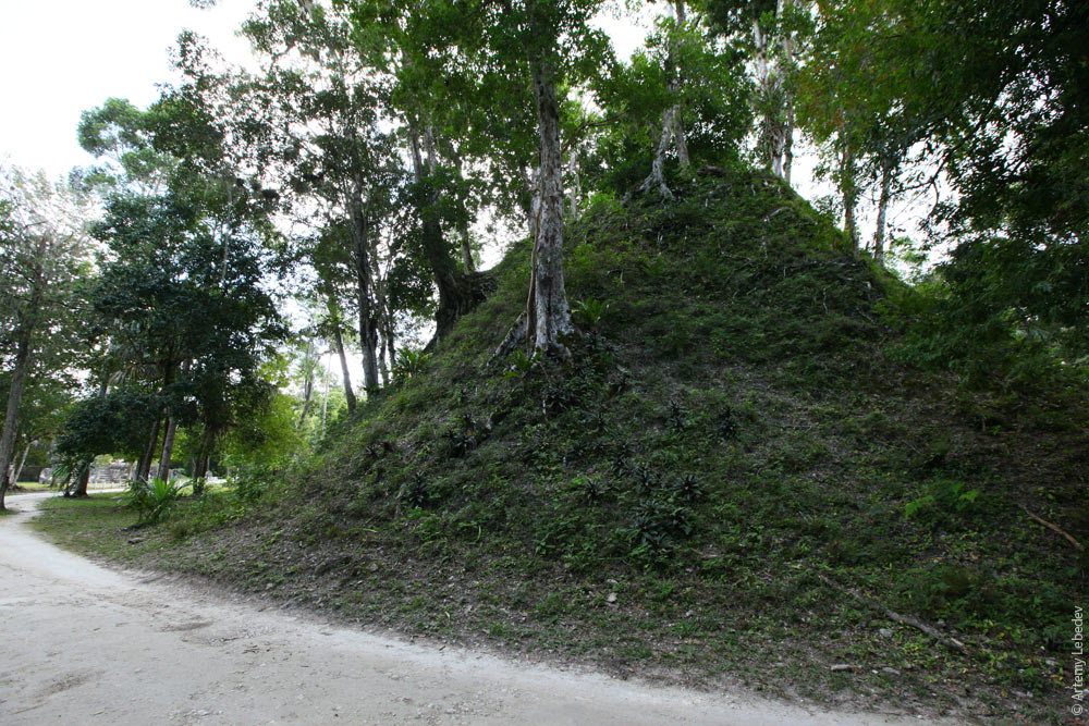 And others have been excavated and restored. Guatemalans practice a number of rituals and perform sacrificial offerings. So there are quite modern altars standing in front of the ancient pyramids—local pilgrims use them for their intended purpose. The bonds between generations have not been broken here.  The main mode of transportation in Tikal is a tourist mototaxi called a tuk-tuk.  |