Western SaharaMapFebruary 12–13, 2014 Today, Western Sahara is essentially part of Morocco. Every map indicates its borders with a dotted line, denoting its virtual nature. The country consists of desert. 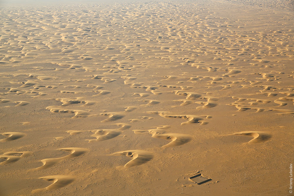 There are sand dunes everywhere. 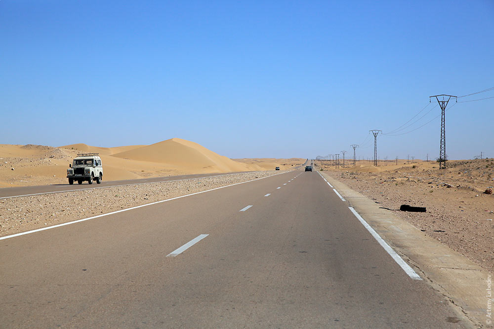 The rural areas are extremely dismal-looking. 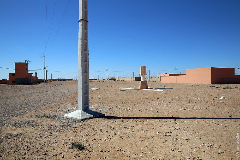 The multitude of posts reminds me of Kazakhstan. 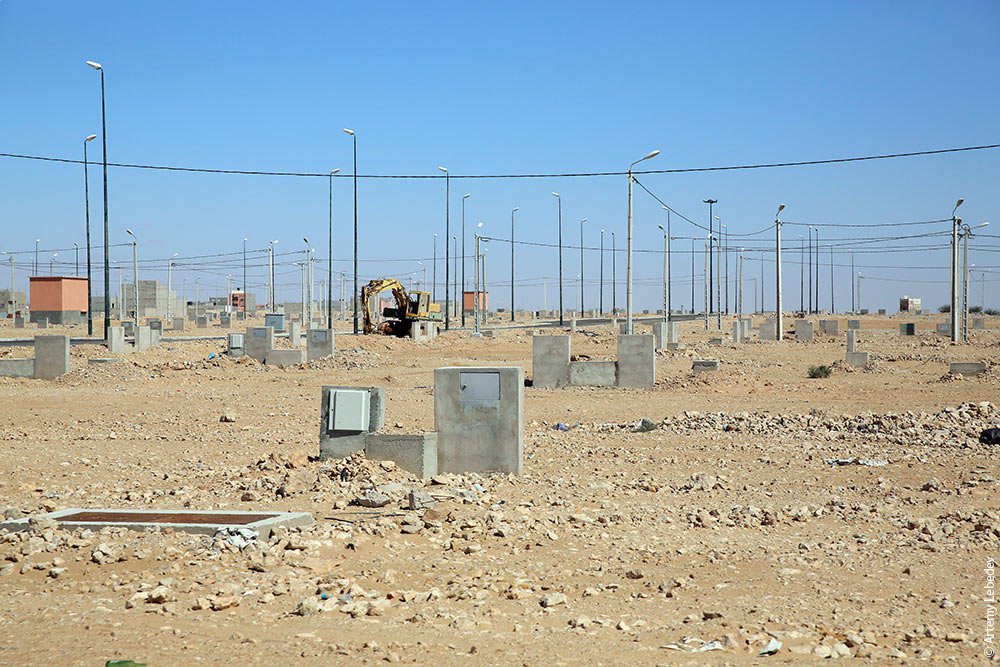 Historical sites have been turned into trash dumps. 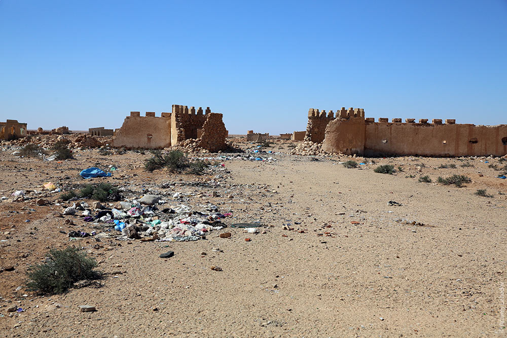 A digger. 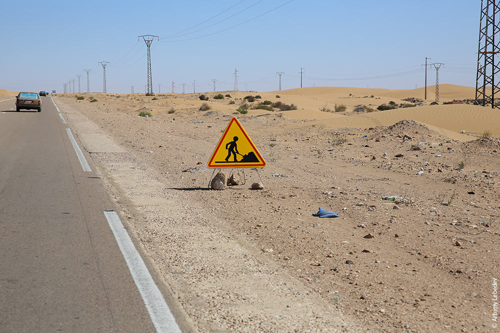 A sign telling drivers to return to their lane because of a sharp turn ahead. 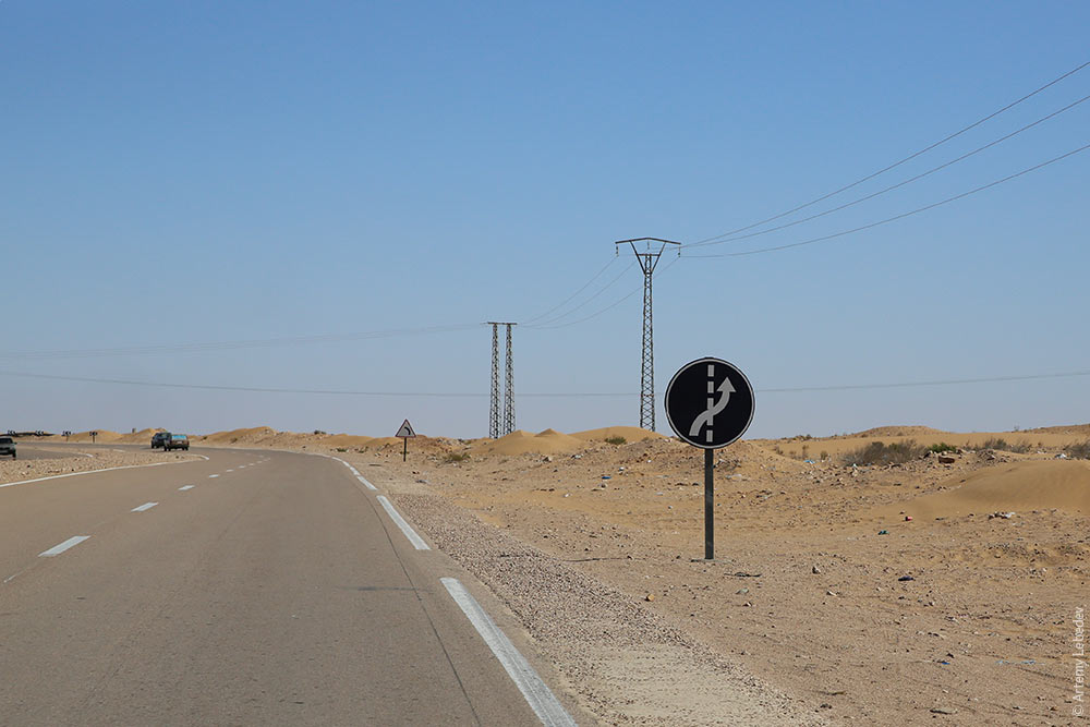 A cart and a truck. 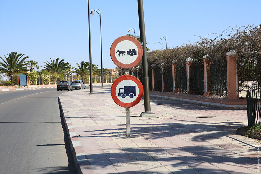 A kilometer marker post. 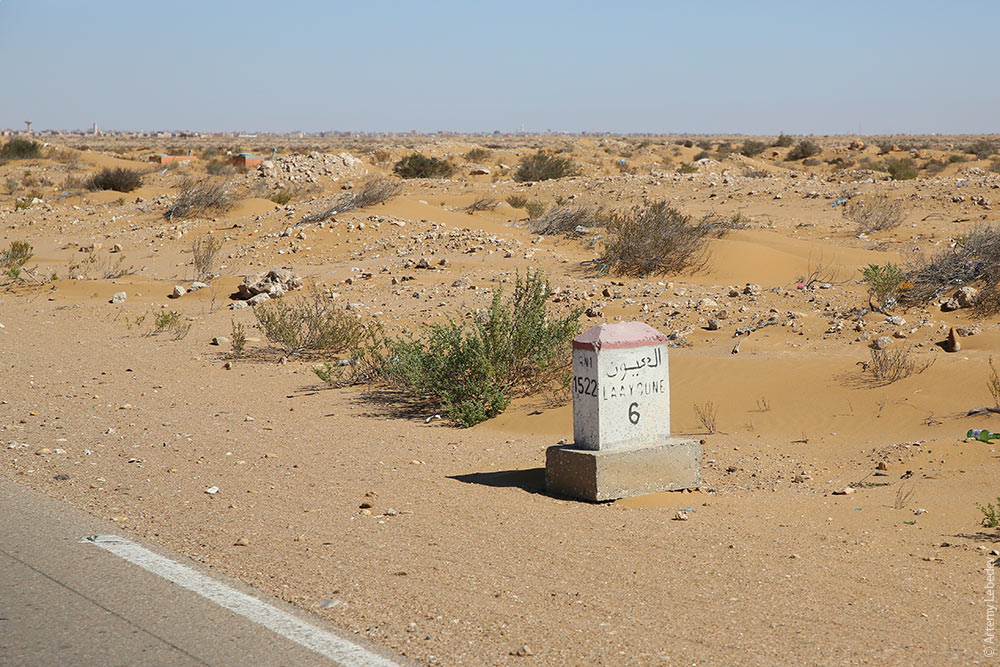 Oh look, an oasis! 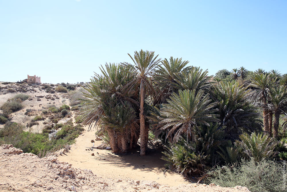 The oasis up close. 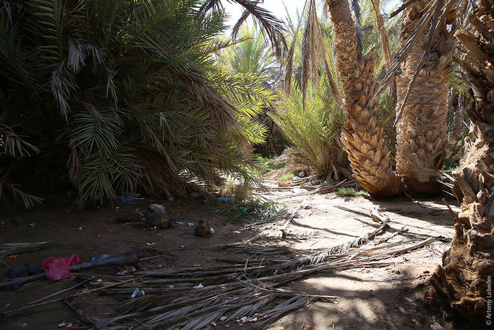 At first, it might seem like this sign prohibits flying stealth bombers. But if you look closer, you’ll see that it simply prohibits setting up tents on the beach. 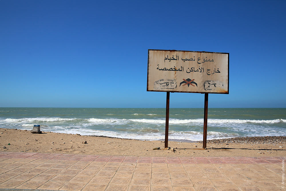 A couple of locals are trying to break apart two copulating dogs with the help of trash from the seashore. 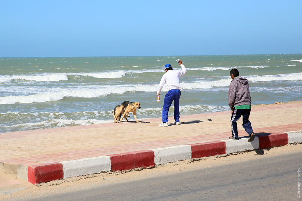 A kiosk shaped like a dolphin head. 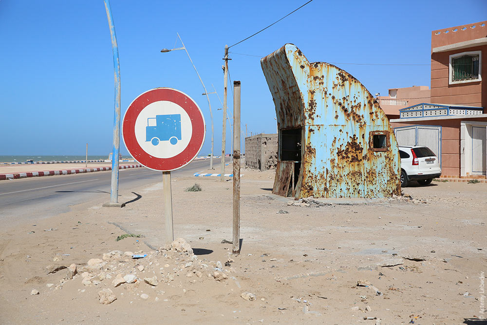 El AaiúnMapThe desert briefly turns into a city at one point. 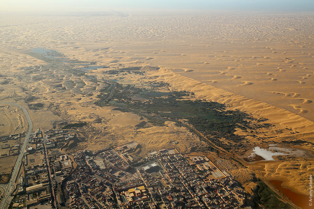 The transition is quite abrupt. 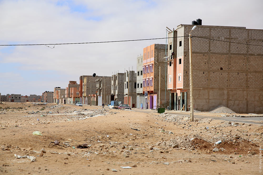 These small orange buses are the main form of public transportation. 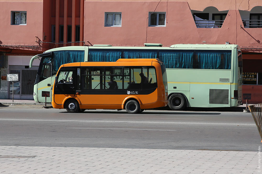 A regular bus stop. 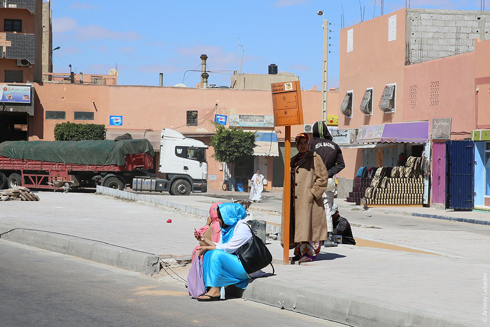 A bus shelter. 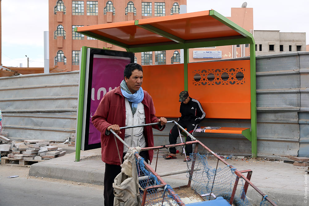 A plaza with a fountain. 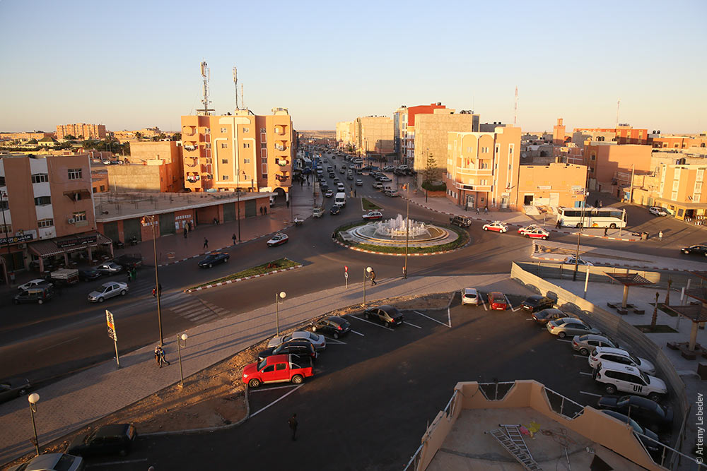 A street. 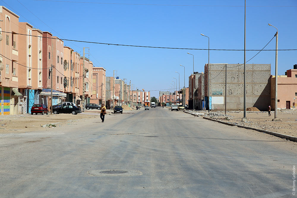 A boulevard. 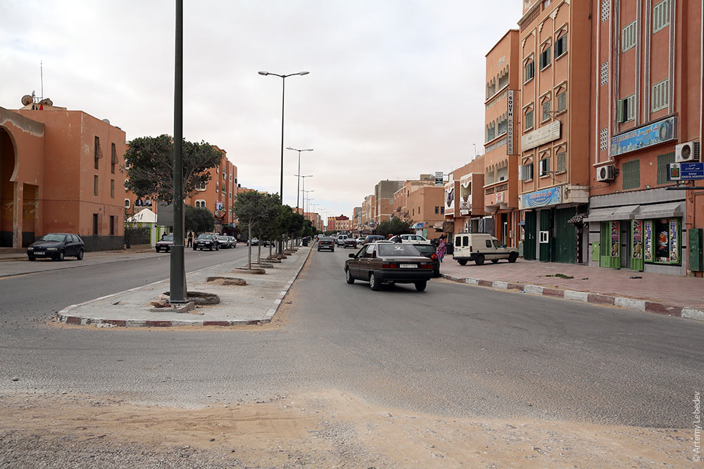 Street cleaning. 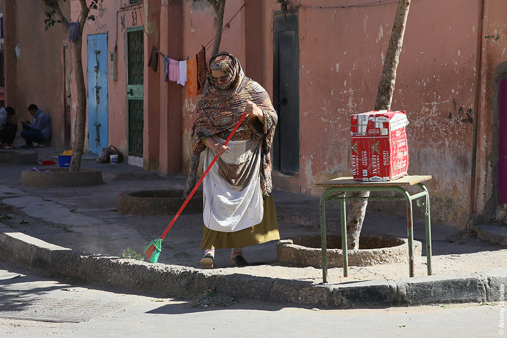 Directional signs. 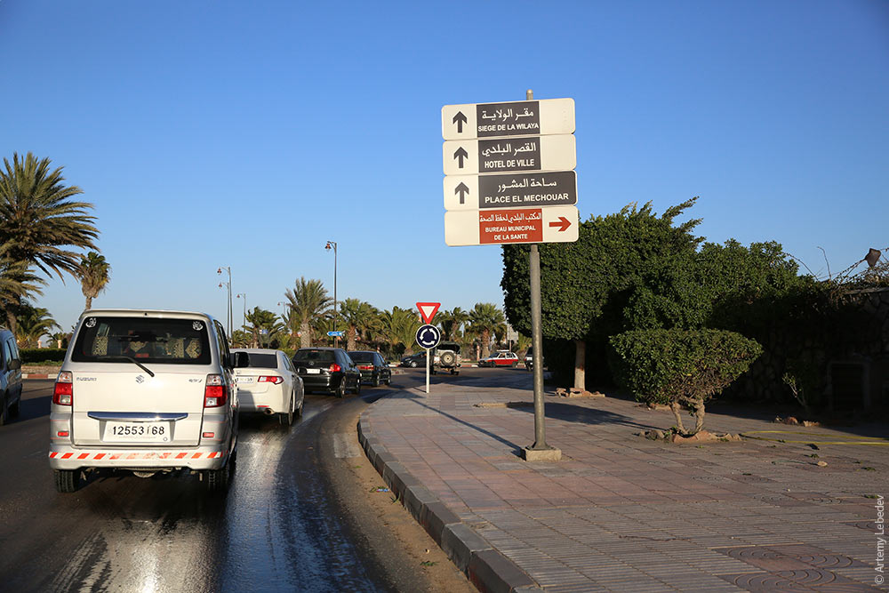 Traditional homes. 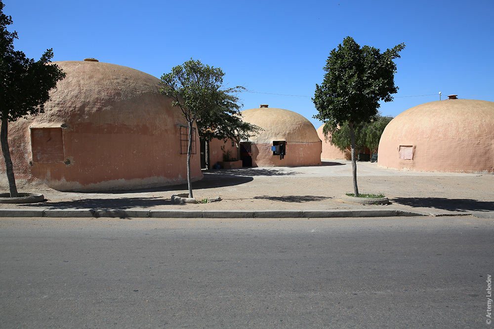 Today, Western Sahara within Morocco is like Crimea within Russia. In other words, all the infrastructure is consolidated, but just to be on the safe side, everyone with a camera is suspected of being a journalist and potential separatist supporter. The roads lead to nowhere from here. 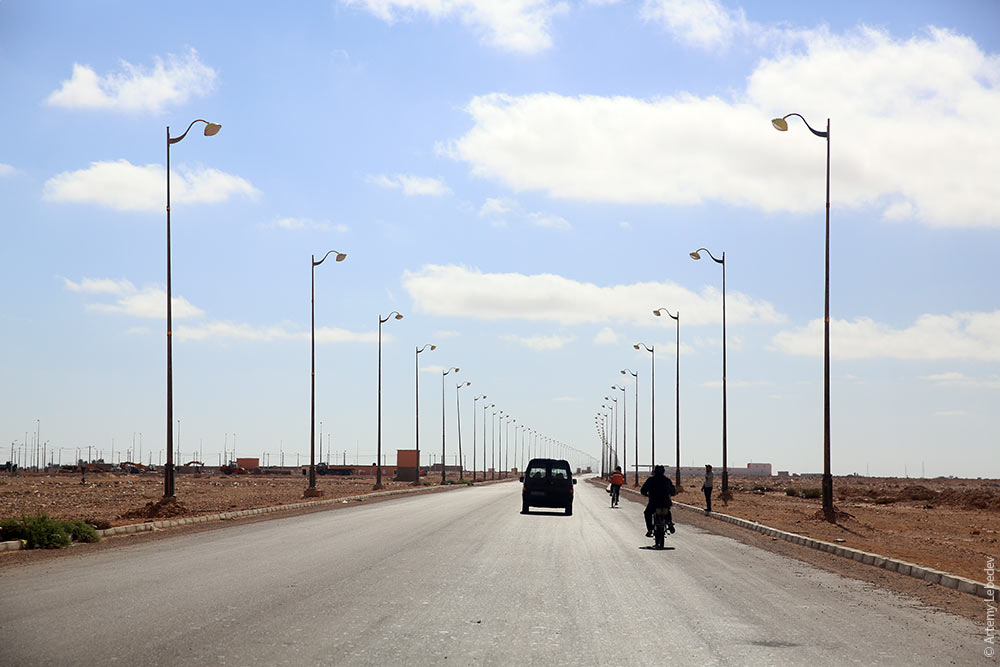 |